 Service

GF93 (Référentiel Géodésique Français 1993 | EPSG:4171)
Nov 5,2025
GISBox is a one-stop 3D GIS data editing, conversion and publishing platform that supports editing in multiple GIS formats such as OSGB/GEOTIFF/RVT, converting to 3DTiles/Terrain and publishing.
Introduction
RGF93 (Référentiel Géodésique Français 1993 | EPSG:4171) is the geodetic reference system adopted as the location standard for geospatial data throughout France. It is based on the international geodetic standard ITRF (International Terrestrial Reference Frame) and aims to unify geographic information and provide high-precision positioning throughout France and its overseas territories. RGF93 is widely used as a standard foundation to ensure positional accuracy and consistency in GPS observations and spatial analysis in geographic information systems (GIS).
Coordinate System Composition
- Geodetic Datum: RGF93 (Référentiel Géodésique Français 1993)
- Reference Ellipsoid: GRS80 (Geodetic Reference System 1980)
- Geodetic Reference Frame: ITRF (International Terrestrial Reference System)
- Coordinate Units: Degrees (longitude and latitude)
- Coverage: Mainland France and overseas territories
Pros
- Based on the ITRF, it is highly compatible with international geodetic standards.
- It is highly compatible with GPS observation data, enabling highly accurate positioning.
- It can be used as a unified coordinate system throughout France, facilitating data integration between different regions.
Cons
- Because it does not include a projection method, a separate projected coordinate system must be set to display the map.
- It is of little direct use outside of France, and conversion to other coordinate systems is often required.
- The effects of crustal movement over time must be taken into account (support for updated versions is required).
Application Scenario
RGF93 (EPSG:4171) is used in France for all situations requiring accurate location information, including surveying, mapping, urban planning, environmental surveys, and infrastructure development. It is particularly used as the standard for official maps from the French Geographical Information Agency (IGN), the French equivalent of the National Geographic Institute, as well as for local government urban planning data and spatial management systems for transportation and infrastructure. It is also important as a unified standard for coordinate data obtained by GPS surveying and drone surveying, and is used for highly public tasks such as identifying locations during disasters and setting boundaries for environmentally protected areas.
Example
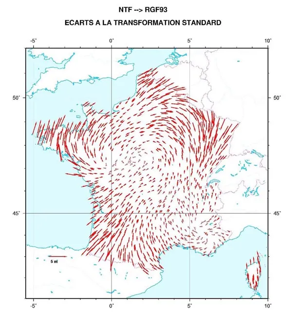
1. Deviations from the standard transformation of points in NTF/RGF93 collocations indicate the need to calculate a parameter grid.
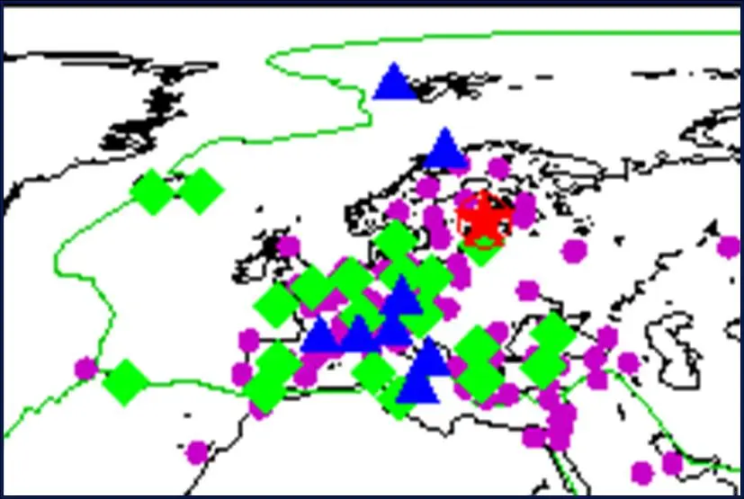
2. The world location of the station receiving signals from GPS satellites.
Related GIS Coordinate Systems
References
- https://geodesie.ign.fr/lacces-au-rgf93
- https://geodesie.ign.fr/le-reseau-geodesique-francais-1993-rgf93
- https://aitf-sigtopo.blogspot.com/p/en-planimetrie-le-systeme-geodesique.html