
 Service

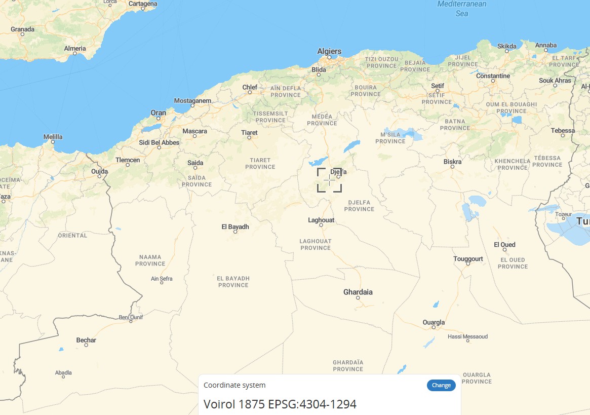
Voirol 1875 (EPSG:4304)
Voirol 1875 (EPSG:4304) is a historical 2D geographic coordinate system used in the maritime and land areas of northern Algeria above 32°N latitude. It was established by the French IGN Paris and uses the Clarke 1880 (IGN) reference ellipsoid and the Greenwich prime meridian. Units are in degrees, with coordinate axes ordered as latitude (northward) and longitude (eastward). It differs from the Voirol 1879 geodetic datum by approximately 9 meters, and the two were sometimes used interchangeably in the early oil industry. It has now been fully replaced by the Nord Sahara 1959 coordinate system and can be transformed to WGS84 (EPSG:4326) using the transformation methods defined in EPSG.
2026-09-24 16:30:42
REGCAN95 (EPSG:4081)
REGCAN95 (EPSG:4081) is the official geodetic datum for the Canary Islands, Spain. Its official name is Red Geodesica de Canarias 1995. It uses the GRS 1980 reference ellipsoid and the Greenwich meridian as its prime meridian. It is a 2D geographic coordinate system, with coordinate units in degrees and coordinate axis order of geodetic latitude (northward) followed by geodetic longitude (eastward). Its coverage extends over the land territory and surrounding maritime areas of the Canary Islands, and it replaces the older Pico de las Nieves 1984 (PN84) datum. It is currently widely used in surveying and geographic information-related work as the horizontal component of the region's 3D coordinate system.
2026-09-24 16:24:16
MAGNA-SIRGAS (EPSG:4686)
MAGNA-SIRGAS (EPSG:4686) is the latest geocentric geographic coordinate reference system officially adopted by Colombia. It is based on the GRS 1980 ellipsoid and referenced to the Greenwich meridian. It replaced the older Bogotá 1975 datum introduced in 1941, and uses longitude and latitude (in degrees) as coordinate units. It covers the entire territory of Colombia, including its associated islands and maritime areas, such as San Andrés, Malpelo, Roncador, Serrana, and Serranilla. This datum is the legal standard for surveying, GIS applications, and GNSS positioning in the country. While it is highly compatible with WGS84, it is not completely identical. Since 2018, it has been gradually replaced by the updated version MAGNA-SIRGAS 2018 (EPSG:20046).
2026-09-24 16:18:54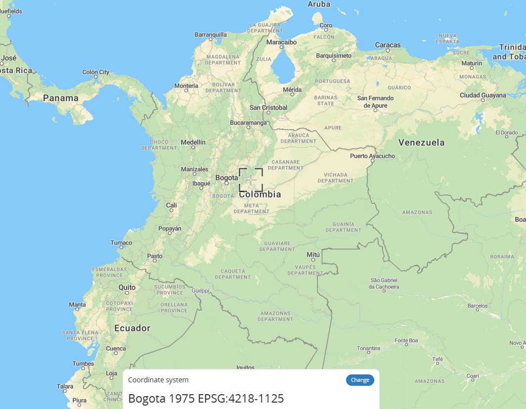
Bogota 1975 (EPSG:4218)
Bogota 1975 (EPSG:4218) is a national geodetic datum formerly used in Colombia. It employs the International 1924 ellipsoid and uses the meridian passing through the Bogotá Observatory as its prime meridian. It was primarily used for surveying and geolocation within mainland Colombia. It replaced three earlier adjustment versions from 1941, 1944, and 1951, and has since been superseded by the more modern MAGNA-SIRGAS datum (EPSG:4685).
2026-08-27 19:42:45
Campo Inchauspe (EPSG:4221)
Campo Inchauspe (EPSG:4221) is Argentina's national geodetic datum established in the mid-20th century. It uses the International Hayford ellipsoid (semi-major axis: 6,378,388 meters, flattening: 1:297.0) as its reference ellipsoid, with its origin at the Campo Inchauspe point near the La Plata Astronomical Observatory in Argentina. It served for a long time as the official coordinate system for Argentina's national surveying and mapping. With the development of global satellite positioning technology, Argentina gradually transitioned to modern coordinate reference frameworks such as POSGAR, which are more compatible with WGS 84. However, Campo Inchauspe remains an important reference for historical maps and legacy data as a historical datum.
2026-08-27 19:37:22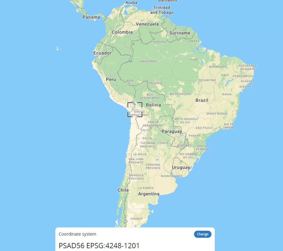
PSAD56 (EPSG:4248)
PSAD56 (EPSG:4248) is the Provisional South American Datum of 1956, a traditional map coordinate system widely used in South America. Established based on local ground survey data, it was primarily employed for early surveying, cartography, and geographic data collection across South American countries. It utilizes specific ellipsoid parameters and continues to be used in many historical geographic datasets, legacy maps, and routine regional surveys.
2026-07-29 10:39:46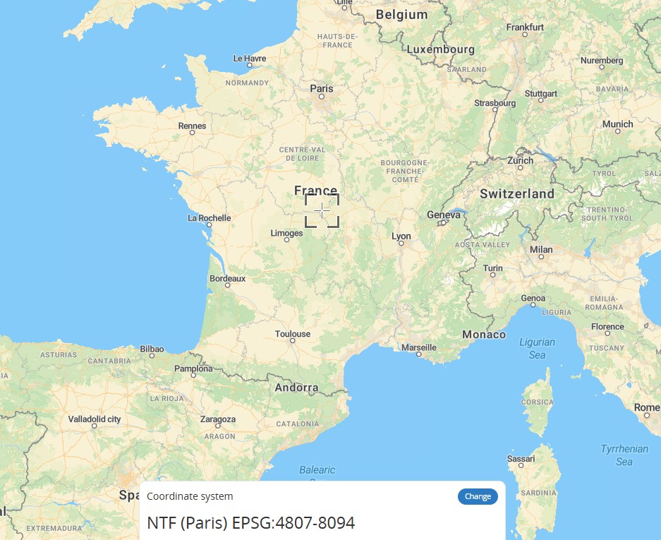
NTF (Paris, Nouvelle Triangulation Française–EPSG:4807)
NTF (Paris), corresponding to EPSG:4807, is the classical French geodetic coordinate system known as the Nouvelle Triangulation de la France. It covers metropolitan France and Corsica and was primarily designed to support national cartographic work across France. It uses the Clarke 1880 (IGN) ellipsoid, the Paris meridian as its prime meridian, and grads as its angular unit. Its fundamental origin is the cross mark at the Pantheon in Paris. For planar mapping, it is commonly associated with Lambert zone projections. Today, it has largely been replaced by the RGF93 coordinate system. Relative to WGS84, its approximate origin offsets are Tx = -168 m, Ty = -60 m, Tz = +320 m, making it a common reference system when working with older French surveying and mapping data in GIS.
2026-07-16 14:39:44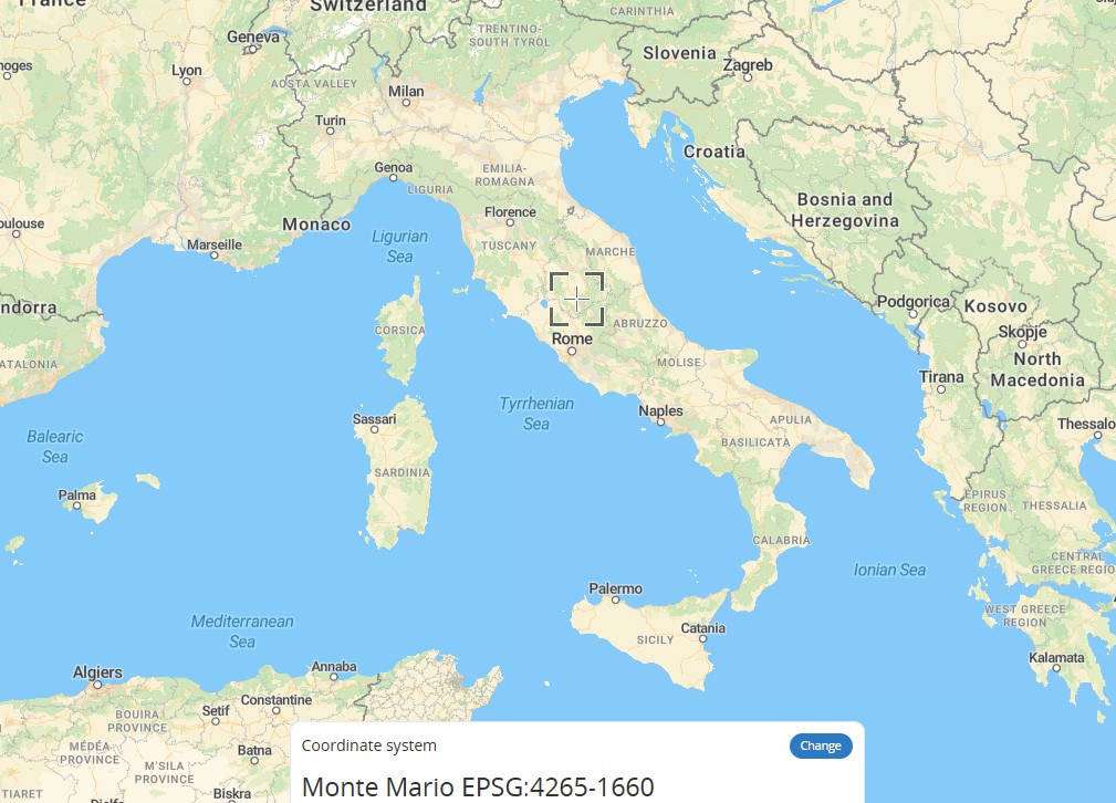
Monte Mario (EPSG:4265)
Monte Mario (EPSG:4265) is Italy's official two-dimensional geographic coordinate system. Named after the Monte Mario datum and based on the International 1924 ellipsoid, it covers the entire territory of Italy (including San Marino and Vatican City). It is primarily used for geodetic surveying and offshore mineral management. Its coordinate axes are latitude and longitude, measured in degrees. It can be transformed to common coordinate systems such as WGS84 and ETRS89, with an accuracy of approximately 4 meters when transforming to WGS84.
2026-06-12 16:04:19
DHDN (Deutsches Hauptdreiecksnetz)
DHDN (Deutsches Hauptdreiecksnetz) is the old national geodetic datum of the Federal Republic of Germany, corresponding to EPSG code 4314. It is also often referred to as the Lauenberg Datum or Potsdam Datum. Based on the Bessel 1841 ellipsoid, its original fundamental point was TP Lauenberg. After this point was destroyed by sand and gravel extraction, the Helmert Tower in Potsdam became the new central point. DHDN served as the common coordinate basis for land surveying in the old federal states of Germany. With the advent of satellite geodetic techniques, the importance of the hierarchical triangulation network gradually declined. Starting in the 2010s, DHDN has been replaced by the ETRS89 coordinate system. Today, it is mainly used for onshore geodetic surveying and national digital mapping in the former West German states, covering areas such as Baden-Württemberg and Bavaria.
2026-06-12 15:54:25
AGD84 (Australian Geodetic Datum 1984) – EPSG:4203
AGD84 (Australian Geodetic Datum 1984) – EPSG:4203 is a regional geodetic datum that served as an interim update to AGD66, released by the Australian National Mapping Council in 1984. While still based on the Australian National Spheroid (ANS) and non-geocentric origin, AGD84 incorporated additional survey data and improved adjustment techniques, resulting in better positional accuracy than its predecessor. Unlike AGD66, which was a purely national adjustment, AGD84 included improved ties to international datums and incorporated Doppler satellite observations to better constrain the network. However, AGD84 was short-lived, as the shift toward geocentric datums (GDA94) began in the 1990s. Today, AGD84 is rarely used but remains relevant for certain legacy datasets produced during the late 1980s and early 1990s.
2026-05-14 19:27:30