 Service

S-JTSK / Krovak East North - SJTSK - EPSG:5514
Nov 5,2025
GISBox is a one-stop 3D GIS data editing, conversion and publishing platform that supports editing in multiple GIS formats such as OSGB/GEOTIFF/RVT, converting to 3DTiles/Terrain and publishing.
Introduction
S-JTSK / Krovak is the local coordinate system used by the Czech Republic. Its core is based on the Krovak projection, a variant of the oblique conformal conic projection. By adjusting the central meridian and standard parallels, this coordinate system optimizes cartographic accuracy in Central Europe (such as the Czech Republic and Slovakia), effectively controlling angular and areal distortions. It is particularly suitable for large-scale topographic mapping. The relationship between S-JTSK and Krovak is that the former directly uses the latter as its mathematical foundation, forming a unified national planar coordinate system.
Coordinate System Composition
- Projection: Based on the Krovak projection (an oblique conformal conic variant), with adjustments to the central meridian (14°20'E) and standard parallels (e.g., 49°N and 49°30'N) to optimize local accuracy.
- Datum: Uses the Krassovsky 1940 ellipsoid, with a semimajor axis of 6,378,245 meters and an oblateness of 1/298.3.
- Coordinate Axes: X-axis points toward the central meridian; Y-axis is perpendicular to the X-axis.
Pros
- High-Precision Optimization: The Krovak projection significantly reduces map distortion in Central Europe (such as the Czech Republic and Slovakia) through its oblique axis design (approximately 30° from the axis of rotation) and the configuration of two standard parallels (e.g., 49°N and 49°30'N). It is particularly suitable for large-scale topographic mapping, achieving local accuracy down to the centimeter level.
- Conformal Property: The projection maintains local angles unchanged, meeting the stringent requirements for directional measurement in surveying and mapping projects.
- Excellent Regional Adaptability: The oblique axis design effectively covers the entire Czech Republic (e.g., the Bohemian Basin), and adjustments to the central meridian (14°20'E) further reduce projection distortion in complex terrain.
Cons
- Geographical limitations: Designed specifically for the Czech Republic and surrounding areas, global or large-scale applications will experience significant distortion, preventing the scalability of projections like the Gaussian projection (for zonal control) or the Mercator projection (for global navigation).
- Conversion complexity: Conversion to modern global coordinate systems (such as WGS84) relies on a seven-parameter model and requires known point calibration using RTK measurement technology, resulting in a high barrier to entry.
- Datum dependency: Utilizes the Krassovsky 1940 ellipsoid, which has parameter differences from modern ellipsoids (such as WGS84), potentially leading to cumulative errors when integrating data across systems.
Application Scenario
S-JTSK / Krovak is primarily used in the Czech Republic for land surveying, urban planning, and infrastructure development. Its high accuracy and conformal properties make it ideal for large-scale topographic mapping, particularly in complex terrain such as the Bohemian Basin, effectively reducing projection distortion. This coordinate system uses RTK measurement technology to convert to modern global coordinate systems (such as WGS84), supporting centimeter-level precision in engineering surveys, such as road network design and water conservancy project positioning. Furthermore, the Krovak projection's oblique axis design adapts to the Czech Republic's north-south geography, playing a key role in GIS data integration and the maintenance of historical surveying and mapping data.
Example
1. S-JTSK / Krovak East North EPSG:2100.

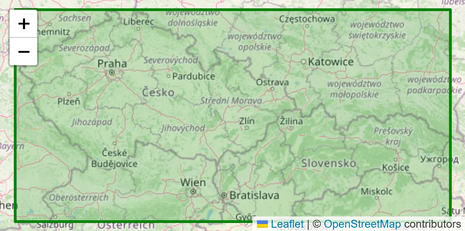
2. Coverage area - OpenStreetMap.
Related GIS Coordinate Systems
References
- https://epsg.io/5514
- https://spatialreference.org/ref/epsg/5514/
- https://customer.precisely.com/s/article/Resolve-issue-when-S-JTSK-Krovak-Coordinate-system-updated-EPSG-5514-is-being-changed-MapInfo-Professional?language=en_US