Service

Carto
Nov 5,2025
GISBox is a one-stop 3D GIS data editing, conversion and publishing platform that supports editing in multiple GIS formats such as OSGB/GEOTIFF/RVT, converting to 3DTiles/Terrain and publishing.
Introduction
Carto is a cloud-based geospatial analytics platform that provides location intelligence and data visualization services, enabling enterprises to efficiently analyze spatial data using SQL and spatial SQL. It is compatible with a variety of data sources (such as Amazon Redshift and PostgreSQL) and includes a built-in map-building tool (Carto Builder) to help users quickly create dynamic maps and visualization applications. Furthermore, its cross-platform SDKs (such as the CARTO Mobile SDK) allow developers to integrate mapping functionality into mobile apps, suitable for scenarios such as navigation and geographic information query.

File Structure
The Carto platform supports a variety of geospatial data file types, including the following common formats:
- Shapefile (.shp): A file collection consisting of multiple files (.shp, .shx, .dbf, etc.) that stores vector geometry and attribute information and requires GIS software to open.
- GeoJSON (.geojson): A lightweight JSON-based vector format that supports point, line, and polygon geometry types and attribute fields, and can be parsed directly with a text editor or web mapping library.
- KML/KMZ (.kml/.kmz): The format used by Google Earth, which supports 3D geographic features and attribute data and can be opened with GIS software or online tools.
- CSV/TSV: CartoDB natively supports PostgreSQL and PostGIS extensions, allowing direct import of spatial database tables.
- PostGIS databases: CartoDB natively supports PostgreSQL and PostGIS extensions, allowing direct import of spatial database tables.
Pros
- Powerful PostgreSQL/PostGIS Support: Based on the PostgreSQL database, it natively supports the PostGIS extension for efficient geospatial data processing (such as geometric operations and spatial indexing).
- Flexible Data Import: Supports common formats such as Shapefile, GeoJSON, and CSV, and can dynamically load data via the API.
- High-Performance Map Rendering: Utilizes OpenGL technology for on-device rendering, supporting dynamic styling adjustments and high request concurrency (e.g., the Mapbox API receives over 5 billion requests per day).
- Extensibility and Community Support: Supports custom functions, stored procedures, and triggers, and functionality can be extended using the C language. The open source community is active, with extensive documentation and resources.
Cons
- Steep learning curve: Advanced features (such as complex queries and spatial analysis) require familiarity with PostgreSQL and PostGIS, making it less user-friendly for beginners.
- High resource consumption: When processing large amounts of data, PostgreSQL's Multi-Volume Conversion Control (MVCC) mechanism can degrade performance, requiring optimized VACUUM operations.
- Specific environment dependency: Requires PostgreSQL 11+ and the PostGIS extension, and installation and configuration are complex (e.g., requiring permissions and Redis dependencies).
- Some functional limitations: Indexes do not support Coverage Index Scans, and complex queries require additional access to table data.
Application Scenario
Carto (CartoDB), a geospatial data visualization and analysis platform, is widely used in geographic information system (GIS) development, business intelligence, mobile applications, industrial research, and other fields. It supports dynamic map rendering and spatial data analysis, making it suitable for scenarios such as urban planning, environmental monitoring, and real estate valuation. On mobile devices, map APIs can be integrated to develop navigation applications or process IoT sensor data. Furthermore, its PostgreSQL + PostGIS underlying architecture makes it an ideal tool for spatial data management in research and education, and it works collaboratively with tools such as ArcGIS and Mapbox.
Example
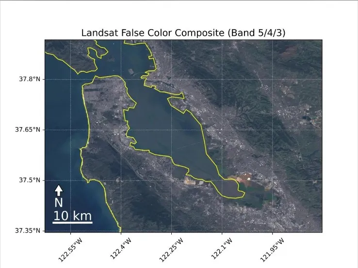
1. Remote sensing data visualization with Carto.
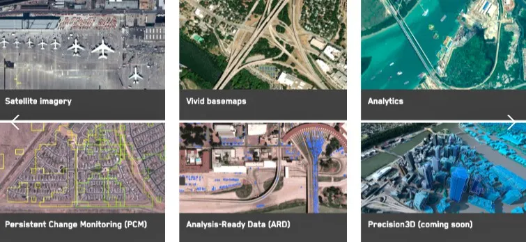
2. Carto's application scenario diagram.
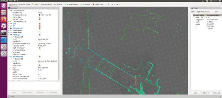
File Opening Mode
1. Carto's file opening method.