
 Service


OpenMapSearch API
OpenMapSearch API is not a single official service, but rather a collective term for map search interfaces implemented based on open standards (such as OpenLS and OpenStreetMap) or open-source frameworks. Its core function is to return spatial information—such as geographic coordinates and detailed location information—through text queries (addresses, POI names, etc.). It is typically provided as a RESTful HTTP interface and supports JSON/XML response formats. It is widely used to integrate location search functionality into web and mobile applications.
2026-09-23 20:03:01
Nominatim API
Nominatim API is an open-source geocoding and reverse geocoding service officially provided by OpenStreetMap. It supports forward geocoding—converting human-readable addresses (e.g., "Xihu District, Hangzhou, Zhejiang, China") into precise latitude/longitude coordinates—as well as reverse geocoding, which converts latitude/longitude coordinates (e.g., 30.2642, 120.1667) back into structured address information. All data relies on OpenStreetMap map information contributed by volunteers worldwide. It supports both free-form text searches and structured parameter filtering, and is widely used in fields such as map applications, location search, and data analysis. It is also available for free through the official public interface, but users must comply with the usage policy of no more than one request per second.
2026-09-23 19:57:31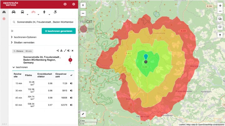
ORS API (OpenRouteService)
ORS API (OpenRouteService) is an open-source geospatial routing service based on OpenStreetMap data. It provides RESTful interfaces and supports route planning for multiple travel modes including driving, walking, and cycling, as well as isochrone analysis, distance matrix calculation, geocoding, elevation queries, track matching, and multi-point route optimization. It is developed in Java, follows the GPLv3 open-source license, and can be deployed independently via Docker or accessed directly through its public API. It is widely used in scenarios such as navigation applications, logistics and delivery, urban planning, and outdoor sports.
2026-08-27 19:29:40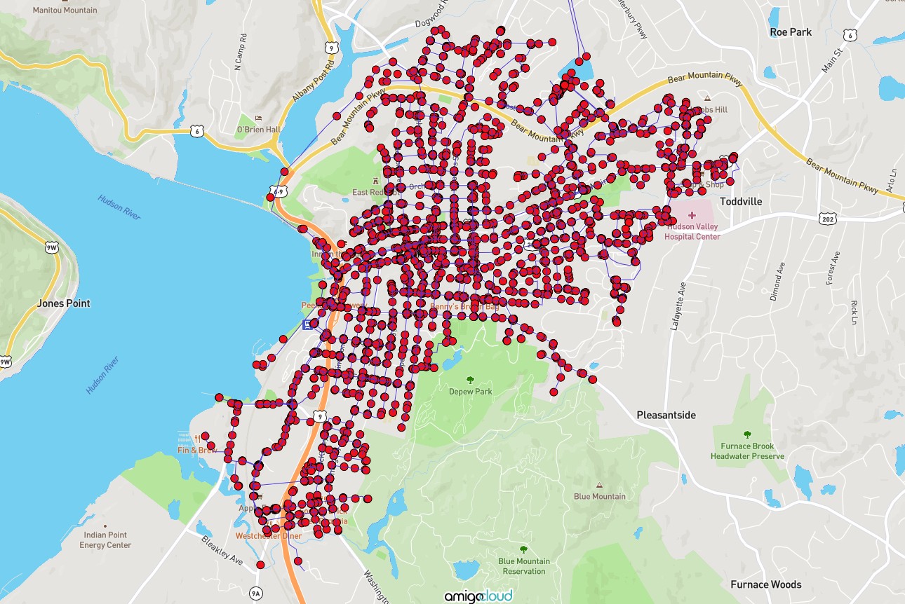
AmigoCloud API
AmigoCloud API is an open interface for cloud-based geospatial data services. After authenticating with a dedicated API key, users can perform operations such as reading, writing, querying, and managing cloud GIS datasets. It is compatible with the GDAL/OGR driver, supports multiple spatial data formats including vector and raster, and provides a Python SDK for easy developer integration. It is suitable for scenarios such as offline mobile data collection and multi-device data synchronization.
2026-08-27 19:20:30
Teleport API
Teleport API is a cloud-based interface service built on 3D Gaussian Splatting technology for spatial data processing scenarios. It supports uploading image and video capture data to automatically generate real-world 3D reconstruction models. These 3D assets, ranging from lightweight models to highly photorealistic reconstructions, can be seamlessly integrated into a developer’s own workflows, visualization platforms, or VR/AR applications. With the help of elastic GPU clusters, Teleport API also supports automated batch processing and can handle spatial datasets ranging from a single scene to city-block-scale environments.
2026-07-16 14:32:54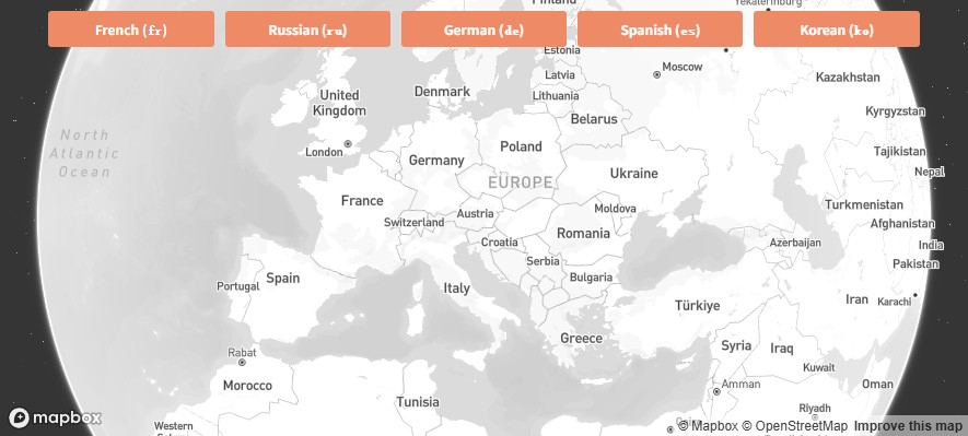
Mapbox Language API
Mapbox Language API refers to the set of services and tools in the Mapbox ecosystem used to support multilingual map experiences. Built on top of Mapbox’s core mapping capabilities, it allows developers to quickly switch place names, map labels, and interface text into different languages to meet the needs of users in different regions. A common implementation is the open-source Mapbox GL Language plugin, which provides convenient multilingual switching for web maps based on Mapbox GL JS. It helps international-facing map applications deliver localized map labeling more efficiently.
2026-07-16 14:25:46
OpenWeatherMap API
OpenWeatherMap API is an open weather data service that provides global real-time weather, minute-level precipitation forecasts, 48-hour hourly forecasts, 8-day daily forecasts, national-scale weather alerts, and more than 40 years of historical weather data. Developers can access it with an API key and retrieve responses in JSON or XML format, then integrate it into websites, mobile applications, or IoT devices. This makes it suitable for location-based dynamic weather display and intelligent decision support. It is especially widely used in map platforms for visualizing weather layers and delivering real-time alerts to end users.
2026-07-10 17:20:25
Mapbox Schema API
Mapbox Schema API is a set of tools and specifications provided by Mapbox for defining and managing map data structures. It allows developers to describe map layers, data sources, and their style properties in a standardized manner, ensuring consistency of map data across different platforms and tools. It is commonly used for customizing map styles or precisely controlling the rendering rules of map elements when integrating geographic data.
2026-06-18 14:20:43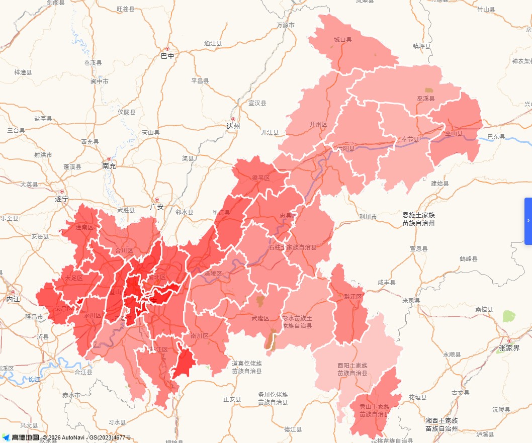
GeoJSON API
GeoJSON API is not a standardized web service protocol but rather a geospatial data interchange format based on JSON. It is commonly used as the data carrier for geographic information system (GIS) data interfaces, transmitting geometric objects such as points, lines, and polygons along with their associated attributes. Its structure strictly adheres to the RFC 7946 specification and exclusively supports the WGS84 coordinate system. Typical objects include Feature (containing geometry and properties) and FeatureCollection. It is widely used for data loading and rendering in web mapping platforms such as Leaflet, Mapbox, and Tianditu (天地图). Developers can embed GeoJSON data directly via URL parameters for map visualization, or have backend services dynamically generate and return responses in this format.
2026-06-18 14:15:31
Ordnance Survey OS Data Hub API
Ordnance Survey OS Data Hub API is a cloud-based geospatial data delivery service provided by Ordnance Survey (OS), the national mapping agency of Great Britain. It offers OS's high-precision geographic data (mapping, addresses, road networks, administrative areas, topography, etc.) as a RESTful API that can be directly integrated into web and mobile applications for real-time use. In an authenticated environment, developers can access various GIS datasets and efficiently incorporate functions such as map display, spatial analysis, route calculation, and statistical aggregation.
2026-05-15 17:27:49