Service

GeoPDF (Geospatial PDF)
Nov 5,2025
GISBox is a one-stop 3D GIS data editing, conversion and publishing platform that supports editing in multiple GIS formats such as OSGB/GEOTIFF/RVT, converting to 3DTiles/Terrain and publishing.
Introduction
GeoPDF embeds geographic spatial information (such as latitude and longitude coordinates and coordinate reference systems) in standard PDF files, enabling ordinary PDF readers (such as Adobe Reader) to support geographic location viewing, map navigation, and basic geographic analysis functions, combining the portability of PDF with the data analysis capabilities of GIS.

File Structure
- Header: The first line indicates the PDF specification version (e.g., %PDF-1.7) and declares that the document conforms to the ISO 32000 standard.
- Body: It stores all indirect objects, including fundamental elements such as page content, fonts, images, etc. Geospatial metadata is also embedded through specific objects in this section.
- Cross-Reference Table: It records the physical offset addresses of indirect objects, enabling random access to the file and incremental updates.
- Trailer: It contains a key dictionary (such as the pointer to the document's root node, Root), the starting position of the cross-reference table, and the end marker %%EOF.
Pros
- Portable and easy to use: No specialized GIS software is required; geographic information can be viewed through common PDF readers like Adobe Reader, lowering the barrier to entry.
- High data integration: Directly embeds maps, images, vector features, and attribute data, eliminating the need for external files.
- Easy interaction and sharing: Allows operations such as zooming, searching, coordinate reading, and geometric calculations, improving information acquisition efficiency.
- Cross-platform compatibility: Compliant with ISO 32000 and
Cons
- Functional Limitations: Compared to professional GIS software (such as ArcGIS), spatial analysis capabilities (such as topology analysis and advanced modeling) are weaker.
- Limited Data Complexity: Large-scale, high-resolution imagery or massive amounts of vector data can result in bloated files, affecting loading efficiency.
- Gaps in Professional Needs: Complex geographic tasks (such as coordinate system conversion) still require the involvement of GIS professionals, making complete "de-specialization" impossible.
Application Scenario
The main application scenarios of GeoPDF include: cross-departmental geographic information distribution (such as disaster emergency maps and urban planning schemes), which allows non-professionals to view dynamic coordinates and measured distances through PDF readers; field operation support (such as land surveys and military deployments), which allows for rapid access to high-precision terrain images in offline environments; and multi-platform data sharing hubs (such as engineering survey reports and cultural heritage records), which integrate vector and raster data and export them to GIS platforms for in-depth analysis, effectively connecting professional and popular needs.
Example
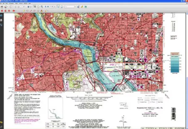
- GeoPDF file.
File Opening Mode
- GeoPDF Mobile.