Mapillary Image Matching API
Nov 5,2025
GISBox is a one-stop 3D GIS data editing, conversion and publishing platform that supports editing in multiple GIS formats such as OSGB/GEOTIFF/RVT, converting to 3DTiles/Terrain and publishing.
Introduction
Mapillary Image Matching API is an interface service based on image matching technology, which aims to achieve spatial consistency and feature correspondence between multiple images using computer vision algorithms. This API detects key points (feature points) such as SIFT and ORB, and calculates a homography matrix to geometrically align images taken from different viewpoints or at different times.
File Structure
The Mapillary Image Matching API file structure mainly consists of the following core components:
1. API Request Module: Processes HTTP requests and responses, and handles authentication (OAuth 2.0), parameter validation, and error handling. Supports RESTful interface calls.
2. Image Processing Core Library: Integrates the OpenSfM algorithm library and is responsible for feature extraction (SIFT/SuperPoint), matching (HNSW), and 3D reconstruction (SfM pipeline).
3. Metadata Management Unit: Stores and retrieves image metadata such as latitude and longitude, timestamp, and device information, and interacts with the Mapillary database.
4. Developer Toolkit: Provides a Python SDK and sample code to simplify the processes of image uploading, matching, and data analysis.
5. Documentation and Test Suite: Includes automatically generated API documentation and unit test modules to ensure interface consistency.
Pros
1. High technical maturity: Mapillary's image matching technology is based on structured light (SfM) and deep learning algorithms, and can handle images from different angles and under different lighting conditions. It is suitable for processing large-scale Street View image datasets.
2. Multi-platform support: The API supports calls via a Python SDK (e.g., mapillary_tools) and a RESTful interface, allowing for flexible integration into existing workflows. In addition, Mapillary provides plugins for QGIS and JOSM, facilitating geographic information analysis and map data integration.
3. High-precision matching: By combining traditional algorithms such as SIFT and ORB with deep learning models, high matching accuracy is achieved, demonstrating stable performance, especially in aligning Street View images.
Cons
1. Processing speed limitations: When processing large image datasets, matching takes a long time and requires high-performance computing resources, especially when using traditional algorithms (e.g., SIFT).
2. Data volume limitations: Free API versions may have limits on call frequency and data volume, and enterprise applications require the purchase of a commercial license.
3. High learning curve: Developers need to understand the principles of SfM (Structure from Motion) and the Mapillary toolchain (e.g., mapillary_tools), which can be somewhat difficult for beginners to master.
Application Scenario
The Mapillary Image Matching API is primarily used for processing and analyzing Street View imagery. Application examples include map updates and geographic information analysis in geographic information systems (GIS), infrastructure and traffic situation assessment in urban planning, and real-time traffic monitoring in traffic management. It is also used to build high-precision Street View data for autonomous vehicles, helping them better understand their surroundings. Furthermore, developers can integrate Mapillary imagery through platforms such as QGIS for geospatial analysis, object detection, and image matching tasks.
Example
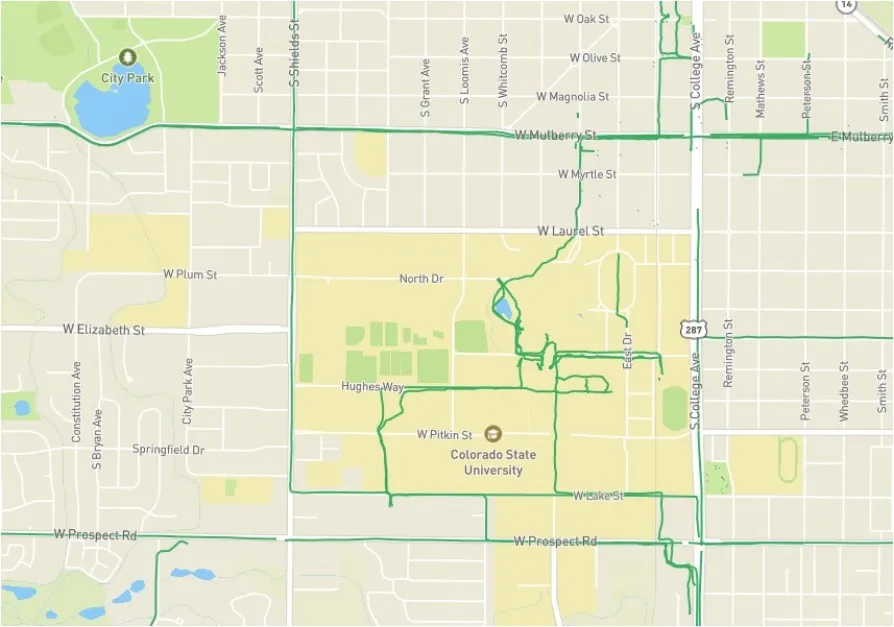
1. The green line across the Colorado State University campus indicates a linestring made up of a series of Mapillary photos.

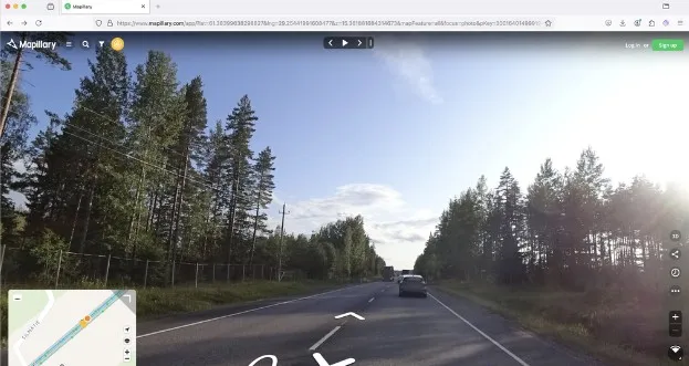
2. An example of observing the locations of feature points detected by Mapillary.

File Opening Mode
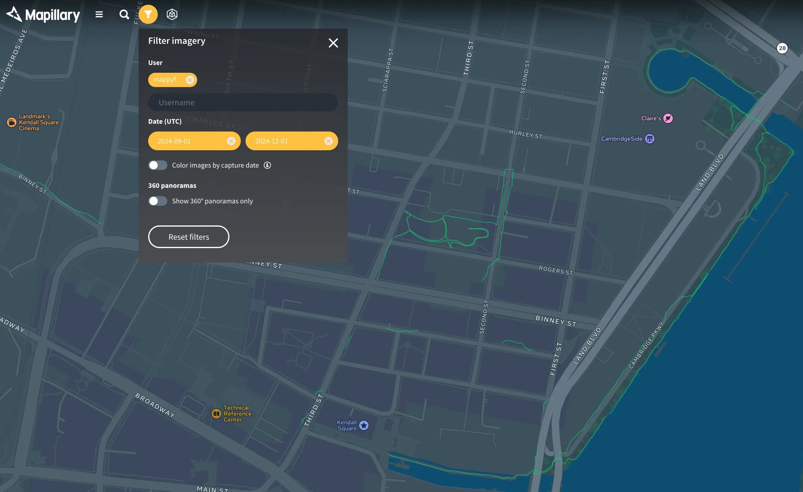
1. Filter and display images on Mapillary.

Related GIS Services
References
- https://blog.mapillary.com/product/2017/04/12/how-to-retrieve-mapillary-images-to-use-in-external-tools.html
- https://gis.stackexchange.com/questions/486735/retrieve-all-mapillary-images-which-show-a-feature-with-a-particular-id
- https://help.mapillary.com/hc/en-us/articles/115001662325-Viewing-imagery-on-the-Mapillary-web-app-the-complete-guide

 Service
