 Service

NAD83 (CSRS) (North American Datum 1983 – Canadian Spatial Reference System)
Nov 5,2025
GISBox is a one-stop 3D GIS data editing, conversion and publishing platform that supports editing in multiple GIS formats such as OSGB/GEOTIFF/RVT, converting to 3DTiles/Terrain and publishing.
Introduction
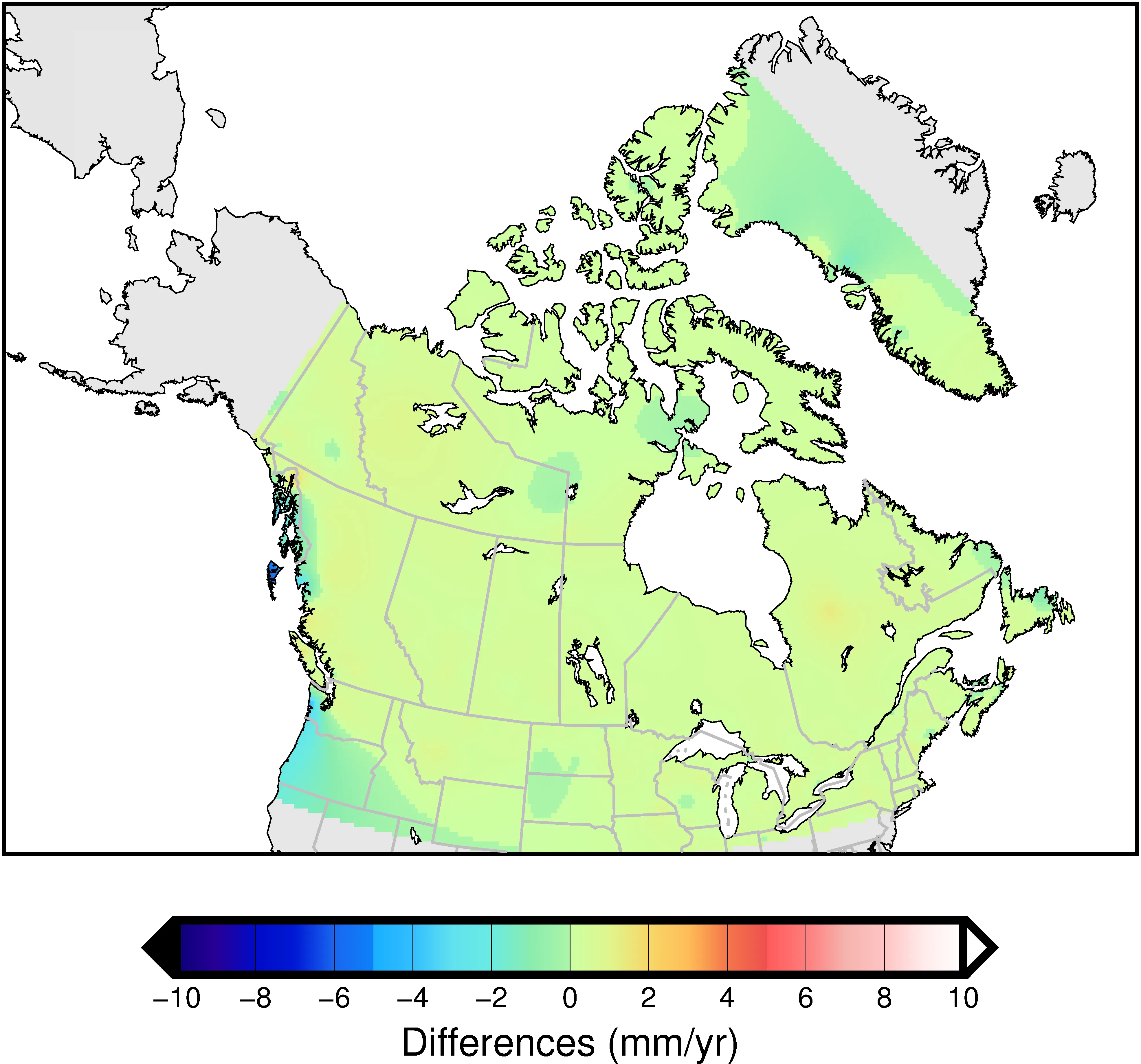
NAD83 (CSRS) (North American Datum 1983 – Canadian Spatial Reference System) is a geographic coordinate reference system for all of Canada, with EPSG code 4617. Managed and maintained by Natural Resources Canada (NRCan), it is based on the North American Datum (NAD83) and has been improved to improve the accuracy of Canada's geodetic network. The CSRS version reflects crustal movements and resurvey results of geodetic control points, improving positioning accuracy and consistency. It is widely used in surveying, geographic information systems (GIS), and global navigation satellite systems (GNSS) in Canada.
Coordinate System Composition
- Geodetic Datum: NAD83 (CSRS) (North American Datum 1983 – Canadian Spatial Reference System)
- Ellipsoid: GRS80 (Geodetic Reference System 1980)
- Geodetic Datum: GNSS control station network deployed across Canada
- Units: Decimal degrees (longitude and latitude)
- Coverage: All of Canada (including provinces and territories)
Pros
- Highly compatible with Canadian geodetic data, ensuring consistent positioning accuracy across the country.
- Optimized for GNSS positioning, it is highly compatible with real-time positioning services (RTK and PPP).
- Continuous updates allow it to reflect crustal movements and changes in geodetic control points.
Cons
- Accuracy and compatibility may be reduced outside of Canada.
- Conversion work may be required to maintain compatibility with historical NAD27 and early NAD83 data.
- Direct compatibility with some international GIS databases and older software may not be possible.
Application Scenario
NAD83 (CSRS) (EPSG:4617) is used in a wide range of fields in Canada, including surveying, civil engineering and construction projects, urban planning, environmental monitoring, and resource exploration. It plays a particularly important role in real-time positioning (RTK) and obtaining high-precision geographic information using GNSS. It is also essential for the development of geospatial data, mapping, disaster management, and land use planning by the Canadian national and local governments, and is widely used in scientific research fields such as crustal movement analysis and polar observation.
Example
1. NAD83(CSRS) update.
2. NAD83(CSRS) update.
