 Service

SXF (Russian State Surveying Format)
Oct 31,2025
GISBox is a one-stop 3D GIS data editing, conversion and publishing platform that supports editing in multiple GIS formats such as OSGB/GEOTIFF/RVT, converting to 3DTiles/Terrain and publishing.
Introduction
SXF (Russian State Surveying Format) is a proprietary format used by the Russian Federation to store and process geospatial data. It is primarily used in national surveying and mapping projects, such as topographic maps and cadastral surveys. This format supports structured storage of both vector and raster data, including coordinate systems and attribute tables, and complies with Russian national surveying and mapping standards. Designed to balance data accuracy and localization requirements, it is commonly used by government surveying and mapping agencies and related professional software.
File Structure
- Spatial Reference System Definition: The file header contains the coordinate system, projection parameters, and ellipsoid definition to ensure consistent georeferencing of the data.
- Geometric Data Storage: This uses a hierarchical structure to store vector features such as points, lines, and polygons, supporting the extension of Z-values (elevation) and M-values (measurement attributes).
- Attribute Data Association: This uses independent tables or embedded fields to associate attribute information of geometric features, such as names and classification codes, similar to the .dbf structure of shapefiles.
- Metadata Description: This contains metadata such as data source, accuracy, and acquisition time, typically stored in XML or dedicated segments.
- Metadata System: This defines the attribute field structure (name/type/description, etc.) and supports user-defined extended metadata (such as timestamps, data source, and other additional information).
- Index and Optimization: This may include spatial index files (such as .shx) to accelerate queries, or employ data structures such as B-trees to manage large amounts of data.
Pros
- High-Precision Military Compatibility: Designed specifically for military surveying and mapping, it supports transverse cylindrical projections such as the Gauss-Krüger projection, ensuring conformal properties (angles and shapes remain unchanged), meeting the requirements of Russian national basic-scale topographic maps.
- Structured Data Management: Utilizing a hierarchical storage mechanism, it supports the separation and association of geometric data (points, lines, and surfaces) and attribute data. Similar to HDF5's composite type design, it can be expanded to store complex data types such as 3D coordinates and elevations.
- Metadata Integrity: Metadata (such as data source and acquisition time) is embedded in separate segments or XML, avoiding metadata loss in traditional signal stream transmission, similar to the metadata bundling mechanism used in the MXF format.
Cons
- Closed-loop and compatibility limitations: As a nationally proprietary format, its technical details are not fully public, requiring cross-platform use with specialized software. It lacks the versatility of formats like GeoTIFF or HDF5.
- Dependency on projection zones: Using a Gauss-Krüger zonal projection (e.g., a 6° zone), distortion increases with distance from the central meridian, requiring additional processing for cross-zone data stitching.
- Storage efficiency challenges: To maintain military-grade accuracy, storage compression may be sacrificed, making it less efficient for processing large datasets than modern formats such as COG.
Application Scenario
SXF (Russian State Surveying and Mapping Format) is primarily used in military surveying and mapping, topographic mapping, and administrative territorial management within the Russian Federation. Its high-precision projection adaptability (such as Gauss-Krüger zoning) meets the requirements for producing national basic-scale topographic maps. This format supports the association of 3D coordinates and attribute data through a layered storage mechanism, making it suitable for specialized applications such as geological exploration and urban modeling. However, due to its closed nature, its use is limited to domestic surveying and mapping agencies within Russia.
Example
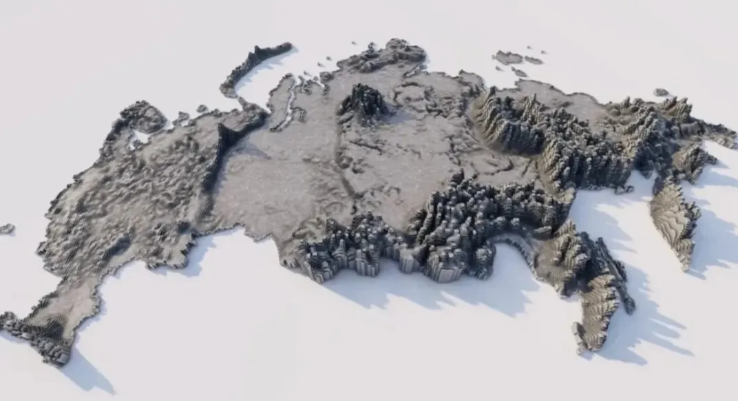
1. Use of topographic maps in SXF (Russian State Surveying and Cartography Format).
2. Flatgeobuf census blocks slippery map demo.
_1763974523999.png)