 Service

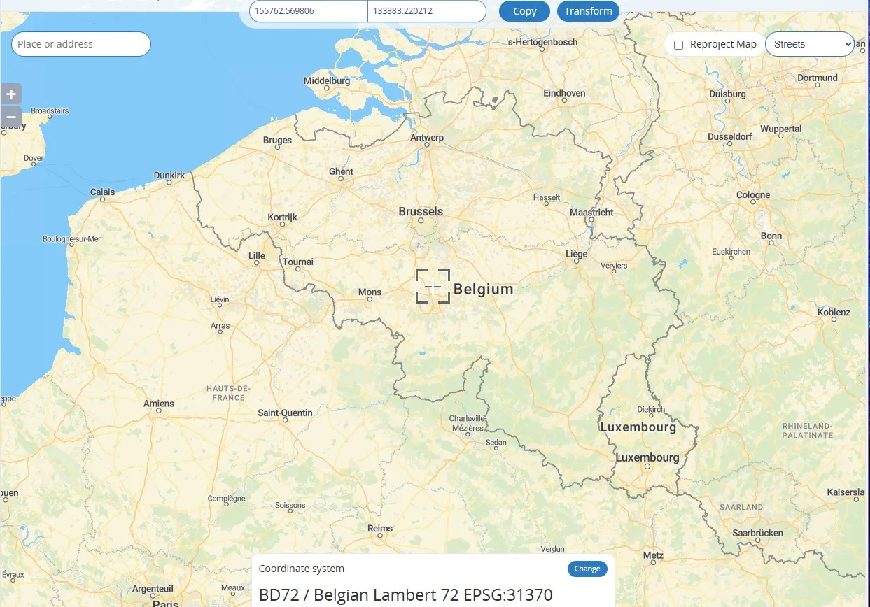
Belgian Lambert 72 (EPSG:31370)
Nov 5,2025
GISBox is a one-stop 3D GIS data editing, conversion and publishing platform that supports editing in multiple GIS formats such as OSGB/GEOTIFF/RVT, converting to 3DTiles/Terrain and publishing.
Introduction
Belgian Lambert 72 is a regional geodetic coordinate system based on the Lambert Conformal Conic Projection used in Belgium. It is based on the Belgian geodetic datum established in 1972. This projection transforms the Earth's spheroid onto a flat surface and is suitable for mapping and geographic information system (GIS) applications in Belgium and the surrounding area. Its EPSG code is 31370. Unlike geocentric systems (e.g., WGS-84), this system is classified as a "local datum" because the center of the ellipsoid does not coincide with the Earth's center of mass.
Coordinate System Composition
1. Reference ellipsoid: The Krasovsky ellipsoid (semi-major axis 6,378,245 m, flattening 1/298.3) is used, which is a non-geocentric reference ellipsoid.
2. Projection: The Lambert Conformal Conic projection is used to project the ellipsoid onto a plane using a secant cone to minimize distortion of area and angles.
3. Central meridian: The central meridian of mainland Belgium is used as the reference point, designed to minimize projection distortion within the country.
4. Coordinate representation: Planar rectangular coordinates are expressed in meters, and a zonal projection is used to control distortion. An easting pseudo-offset (e.g., 500 km) may be added to avoid negative values.
5. Geodetic datum: The relationship between the ellipsoid and the Earth's surface is adjusted based on ground survey data within Belgium, optimizing regional accuracy.
Pros
1. High regional accuracy: The combination of the Krasovsky ellipsoid and the Lambert conformal conic projection improves local accuracy for topographic surveying and mapping in Belgium and the surrounding area.
2. Conformal properties: The Lambert projection's properties preserve angles, making it suitable for topographic and urban planning maps that require directional accuracy.
3. Modular applicability: The ability to adopt 3° and 6° zoned projection methods and eastern pseudo offsets allows for flexible adaptation to a variety of applications, including engineering, surveying, and GIS.
Cons
1. Non-geocentric: It uses a centered ellipsoid called the Krasovsky ellipsoid, which is incompatible with geocentric coordinate systems like WGS-84, and errors may occur during conversion.
2. Regional limitations: It is intended for use in mid-latitude regions (around Belgium), so it is not suitable for wide-area or global use and other projection methods must be used in conjunction with it.
3. Obsolete ellipsoid parameters: Values such as the semimajor axis of the Krasovsky ellipsoid deviate from modern precision geodetic values (a difference of approximately 109 m), which may affect high-precision surveying.
Application Scenario
The Belgian Lambert 72 coordinate system is widely used in high-precision mapping and GIS (geographic information systems) in Belgium and the surrounding region. Specifically, it is used for topographic surveying, urban planning, infrastructure design, and civil engineering measurement. It is also used in 3D modeling (e.g., urban landscape reconstruction using Blender) as the reference coordinate system for accurately capturing Belgian geographic data, such as DTMs (digital terrain models) and building models in CityJSON format. Due to the characteristics of the Lambert Conformal Conic Projection, angular accuracy is maintained in mid-latitude regions, but care must be taken to ensure compatibility with geocentric coordinate systems such as WGS-84.
Example
1. Belgian Lambert 72 – EPSG:31370.
2. An example of coordinate shift when specifying an EPSG code in osm2pgsql (red = EPSG 31370).

Related GIS Coordinate Systems
References
- https://epsg.io/map#srs=5514&x=-543698.817778&y=-1140877.554892&z=7&layer=streets
- https://gis.stackexchange.com/questions/358536/coordinate-drift-when-using-osm2pgsql-and-specifying-epsg-code