 Service

NZGD2000 (New Zealand Geodetic Datum 2000 | EPSG:4167)
Nov 5,2025
GISBox is a one-stop 3D GIS data editing, conversion and publishing platform that supports editing in multiple GIS formats such as OSGB/GEOTIFF/RVT, converting to 3DTiles/Terrain and publishing.
Introduction
NZGD2000 (New Zealand Geodetic Datum 2000) is the New Zealand 2000 geodetic datum, which is the current national geodetic coordinate system of New Zealand. It is used to define the reference framework of the country's geospatial data and plays an important role in surveying and mapping, geographic information, engineering and other fields.
Coordinate System Composition
- Origin: The origin of NZGD2000 is located at the Earth's center of mass, encompassing the entire planet including oceans and atmosphere. This establishes NZGD2000 as a geocentric coordinate system aligned with the International Terrestrial Reference Frame (ITRF).
- Coordinate Axes:
- Z-axis: Points from the origin toward the Earth reference pole at epoch 2000.0. This orientation is derived from the initial 1984.0 reference provided by the Bureau International des Poids et Mesures (BIPM), with temporal evolution ensuring no residual global rotation relative to the Earth's crust.
- X-axis: Extends from the origin to the intersection of the Greenwich Reference Meridian with the Earth's equatorial plane at epoch 2000.0.
- Y-axis: Completes the right-handed orthogonal coordinate system with the Z and X axes.
- Scale Definition: NZGD2000 adopts a scale consistent with general relativity principles to maintain system accuracy and uniformity.
- Earth ellipsoid parameters: The earth ellipsoid used by NZGD2000 is the GRS80 ellipsoid, whose parameters include the major semi-axis, minor semi-axis, flattening, gravitational constant and rotation angular velocity, etc. These parameters together define the shape and size of the ellipsoid and provide a basis for coordinate conversion and calculation.
Pros
- High-precision positioning capability: It adopts the geocentric coordinate system, with the origin located at the center of the earth's mass, and is compatible with the Global Positioning System (GPS), achieving centimeter-level positioning accuracy, meeting the precise needs of surveying, engineering and other fields.
- In line with international standards: It follows the International Terrestrial Reference Frame (ITRF) standard, facilitates international data exchange, supports seamless connection with the Global Positioning System (GPS), and improves the efficiency of geospatial data integration.
- Widely applicable in multiple fields: It provides a unified reference framework for surveying, geographic information, engineering, resource management and other fields, supports high-precision engineering needs such as buildings, roads, and bridges, and ensures project safety and accuracy.
Cons
- Regional applicability limitations: NZGD2000 is a national geodetic coordinate system designed specifically for New Zealand. Its accuracy and parameter optimization are based on the geological structure and plate motion characteristics of the New Zealand region. When used across regions or globally (such as integrating geographic information from other countries), the accuracy may decrease or the conversion may be complicated due to differences in the earth's ellipsoid parameters or reference frames.
- Dynamic maintenance relies on cost technology: As a dynamic reference system, NZGD2000 needs to be updated regularly to correct the effects of earth deformation and plate motion. This relies on high-precision satellite observations, a continuously operating reference station (CORS) network, and professional data processing technology, resulting in high maintenance costs and technical barriers, which may be difficult for ordinary users or small organizations to afford.
- Unknown adaptability to extreme environments: In signal-restricted areas such as high latitudes, mountains, or oceans, GPS or satellite positioning may be interfered with, resulting in reduced positioning accuracy of NZGD2000, and other supplementary technologies (such as inertial navigation) are required to ensure reliability.
Application Scenario
As New Zealand's national geodetic coordinate system, NZGD2000 is widely used in surveying and mapping, engineering construction, resource management, disaster monitoring, navigation and aviation, and geographic information systems, providing unified high-precision benchmark support for various spatial data.
Example
1. NZGD2000/Chatham Islands.
_1763977138887.png)
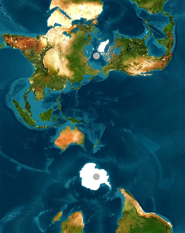
2. World map in the NZGD2000 projection.
Related GIS Coordinate Systems
References
- https://www.linz.govt.nz/guidance/geodetic-system/coordinate-systems-used-new-zealand/geodetic-datums/new-zealand-geodetic-datum-2000-nzgd2000
- https://epsg.io/2193
- https://epsg.io/2113