 Service

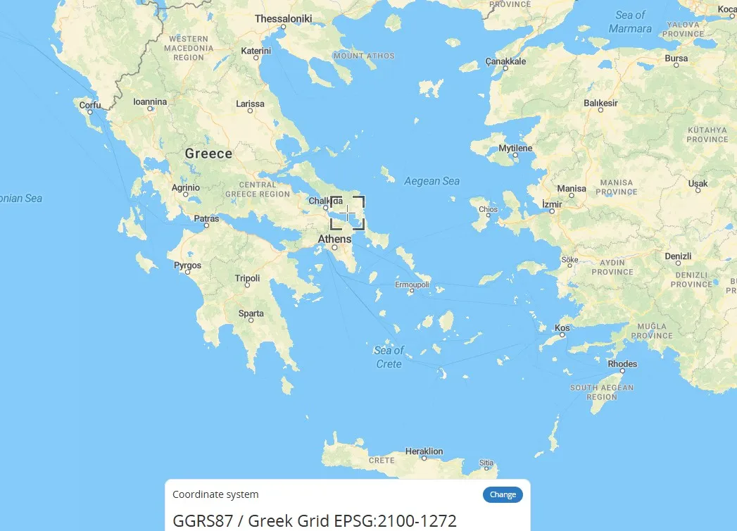
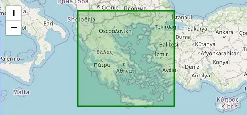
Greek Grid (Greek National Coordinate System – EPSG:2100)
Nov 5,2025
GISBox is a one-stop 3D GIS data editing, conversion and publishing platform that supports editing in multiple GIS formats such as OSGB/GEOTIFF/RVT, converting to 3DTiles/Terrain and publishing.
Introduction
Greek Grid is a plane rectangular coordinate system based on a projection specific to Greece, a type of geographic grid coordinate system (GRID). It divides the Earth's surface into virtual grid lines, projecting spatial coordinates onto a plane to form a locally applicable coordinate system. It is commonly used in mapping and engineering surveying in Greece. Unlike universal geographic coordinates (latitude and longitude), this coordinate system directly represents plane positions using x and y values, making it suitable for precise positioning in small areas.
Coordinate System Composition
- Projection Datum: A transverse elliptical cylindrical projection (similar to the Gauss-Krüger projection) or conic projection is used to transform the Earth's ellipsoid into a flat surface, minimizing geometric distortion in local areas of Greece.
- Coordinate Axis Definition: The X-axis is projected along the central meridian, and the Y-axis is projected along the equator, with translations used to avoid negative values (e.g., adding a constant to the Y coordinate).
- Zone Processing: Zones may be divided into longitude zones (e.g., 6° or 3° zones), each projected independently to control length distortion.
- Datum Parameters: Based on the local Greek ellipsoid (e.g., GGRS87) and the geoid, ensuring compatibility with global systems such as WGS84.
Pros
- High Local Accuracy: Based on the Greek local ellipsoid (such as GGRS87) and projection methods (such as the Transverse Mercator projection), it effectively controls geometric distortion in the Greek region, making it suitable for small-scale mapping and engineering surveying.
- Convenient Planar Calculation: Directly representing locations using x and y coordinates avoids the spherical calculation complexity of geographic coordinate systems (latitude and longitude), facilitating map drawing and spatial analysis.
- Excellent Compatibility: Data can be interoperated with global coordinate systems (such as WGS84) through parameter conversion, meeting the needs of integrating geographic data from multiple sources.
Cons
- Regional Limitations: Applicable only within Greece. Beyond this range, projection distortion increases significantly, requiring a different coordinate system.
- Conversion Complexity: Conversions to other coordinate systems (such as UTM or Web Mercator) rely on specific parameters and may introduce errors.
- Datum Dependency: If the datum is updated (e.g., if the ellipsoid parameters are adjusted), historical data must be recalibrated, increasing maintenance costs.
Application Scenario
The Greek Grid coordinate system is primarily used in surveying and mapping, engineering construction, and geographic information systems (GIS) within Greece. It is particularly well-suited for small-scale, high-precision planar positioning, such as in urban planning and land surveying. This coordinate system reduces geometric distortion through localized projections (such as a Transverse Mercator variant) and is commonly used in topographic mapping, infrastructure design, and natural resource management within Greece. Furthermore, its ability to convert to global coordinate systems (such as WGS84) makes it compatible with international data integration.
Example
1. Greece national coordinate system – EPSG:2100.
2. Greek Grid/GGRS87.
Related GIS Coordinate Systems
References
- https://epsg.io/2100
- https://spatialreference.org/ref/epsg/2100/
- https://epsg.org/crs_2100/GGRS87-Greek-Grid.html