Service

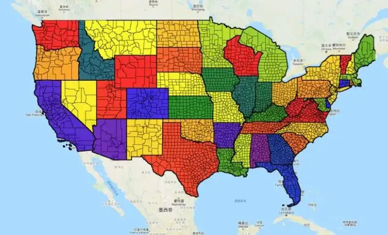
TIGER (Topologically Integrated Geographic Encoding and Referencing)
Nov 5,2025
GISBox is a one-stop 3D GIS data editing, conversion and publishing platform that supports editing in multiple GIS formats such as OSGB/GEOTIFF/RVT, converting to 3DTiles/Terrain and publishing.
Introduction
TIGER is a topological vector data model developed by the U.S. Census Bureau for storing and managing geospatial data. This model explicitly records the topological relationships between points, lines, and surfaces, preserving spatial adjacency information between objects. It is widely used in fields such as demographics and urban planning. Its data format supports efficient spatial query and analysis, forming a crucial foundation for early Geographic Information Systems (GIS).
File Structure
The TIGER (U.S. Census Bureau format) file structure consists of the following core components:
- Basic geometry data files: Store coordinate information for vector features such as points, lines, and polygons, using a topological structure to record spatial relationships between features (such as adjacency and containment).
- Attribute data files: Contain statistical or categorical attributes associated with geometric features (such as population and administrative division codes), typically stored in a table format.
- Index files: Used to accelerate spatial queries, for example, by optimizing feature retrieval efficiency through spatial indexes (such as SBN/SBX files).
- Metadata files: Record metadata such as data projection, coordinate system, and version information (such as PRJ files) to ensure data interpretability.
- Topological relationship files: Explicitly store the topological logic between features (such as line segment endpoints and adjacent area codes), which is the key difference between TIGER and common vector formats.
Pros
- Perfect topology: By explicitly recording spatial relationships (such as adjacency and containment) between points, lines, and polygons, it supports efficient spatial analysis and queries.
- Data standardization: It provides unified national data on administrative divisions, roads, and water systems, facilitating cross-regional statistics and planning.
- Strong compatibility: It leverages GIS models such as Esri's Coverage and can perform geocoding and spatial operations through extension tools such as PostGIS.
Cons
- Data redundancy: Topological relationships and geometric data are stored separately, resulting in large file sizes and low processing efficiency.
- Update lag: As official census data, the update cycle is long (typically every 10 years), making it difficult to meet the needs of real-time applications.
- High technical barriers: Analyzing requires specialized GIS tools, making it difficult for ordinary users to directly use the raw data.
Application Scenario
The TIGER format is widely used in fields such as demographics, urban planning, and transportation navigation. For example, it provides standardized geographic data for the US Census to support administrative division analysis. Its road data is used for route planning by navigation systems like Waze. Combined with GIS software, it can be used for spatial modeling of land use and ecological conservation. Furthermore, the US government provides free geographic data through TIGER, covering basic information such as rivers, lakes, and buildings, for scientific research and commercial purposes.
Example
- The TIGER dataset from the U.S. Census Bureau.
File Opening Mode
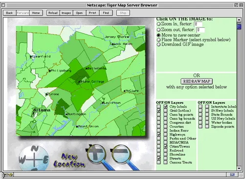
- TIGER Mapping Service.