 Service

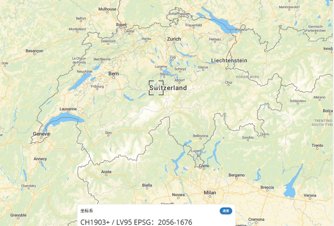
Swiss LV95
Nov 5,2025
GISBox is a one-stop 3D GIS data editing, conversion and publishing platform that supports editing in multiple GIS formats such as OSGB/GEOTIFF/RVT, converting to 3DTiles/Terrain and publishing.
Introduction
Swiss LV95 is a projection coordinate system adopted by the Swiss government, based on the CH1903+/LV95 standard, and is a variant of the Gauss Kruger projection designed specifically for planar surveying in the Swiss region. It solves the problem of direct use of spherical data in engineering and mapping by converting geographic coordinates (such as WGS84) into planar coordinates. This coordinate system is widely used in navigation, land management, and infrastructure planning in Switzerland, and its coordinate values are usually expressed in meters.
Coordinate System Composition
1. Reference ellipsoid: The CH1903+ellipsoid is used, with a semi axis of 6378137 meters and a flatness of 1/298.25722101, which is similar in parameters to the WGS84 ellipsoid but with slight differences.
2. Projection method: Based on a variant of Gaussian Kruger projection, the Earth's ellipsoid is projected onto a plane coordinate system, suitable for high-precision measurement of local areas in Switzerland.
3. Coordinate origin: Usually a specific point in Switzerland is used as the reference origin, and plane coordinates are expressed in meters.
4. Coordinate axis definition: The X-axis points east, the Y-axis points north, and the Z-axis is perpendicular to the reference ellipsoid, forming a right-handed coordinate system.
5. Elevation benchmark: Combining with the Swiss national elevation system to ensure consistency between plane coordinates and elevation data.
Pros
1. High precision planar measurement: Based on the Gaussian Kruger projection variant, geographic coordinates are converted into planar coordinates for engineering surveying and mapping, suitable for high-precision applications in local areas of Switzerland.
2. Consistency: As a Swiss national standard, it is widely used in land management, infrastructure planning, and navigation to ensure data consistency.
3. Metric unit: Coordinates are expressed in meters, which is directly applicable for construction and calculation, and is more intuitive than latitude and longitude.
Cons
1. Projection deformation: As a projection coordinate system, length, area, or angle deformation is inevitable, especially in areas far from the central meridian.
2. Local applicability: Designed specifically for Switzerland, conversion is required for global or cross regional applications, with limited universality.
3. Conversion complexity: Accurate parameters are required when converting to global coordinate systems such as WGS84, which may introduce errors.
Application Scenario
The Swiss LV95 coordinate system, as the Swiss national high-precision geodetic reference system, is widely used in land management, infrastructure construction, and engineering surveying fields, such as millimeter level positioning in high-speed railway track precision measurement and bridge construction. Its dynamic model (CHTRM95), combined with the AGNES permanent GPS station network, supports real-time kinematic (RTK) applications and provides continuous observation data for meteorology and scientific research. In addition, the coordinate system is linked to the European reference system through the CHTRS95 network to ensure the consistency of national surveying data.
Example
1. The zero point of the Swiss coordinate system is located in Bern: its coordinates are E=2600000 and N=1200000.

2. Swiss LV95-EPGS:2056.
Related GIS Coordinate Systems
References
- http://www.tuxingis.com/gisvision/knowledge/1093.html
- https://www.swisstopo.admin.ch/en/the-swiss-coordinates-system
- https://epsg.io/map#srs=2056-1676&x=2660008.757198&y=1185649.778432&z=8&layer=streets