Service

DGN (MicroStation Native Format)
Nov 24,2025
GISBox is a one-stop 3D GIS data editing, conversion and publishing platform that supports editing in multiple GIS formats such as OSGB/GEOTIFF/RVT, converting to 3DTiles/Terrain and publishing.
Introduction
DGN (MicroStation Native Format) is a CAD file format developed based on Microsoft's OLE2 file structure, primarily used in 3D, BIM, and GIS industries. Developed by Bentley Systems, this CAD format is designed for recording and exchanging design data, offering a comprehensive data model and multi-layer drafting capabilities while supporting operation across multiple platforms.
File Structure
The file structure of DGN (MicroStation Native Format) primarily consists of the following components:
- File Header: As the first block of a DGN file, the header contains all file attributes and configuration information, such as file type, block length, and file version number.
- File Body: This section stores drawing information and graphical objects. The DGN format divides the entire drawing into multiple individual blocks, each containing one or more entities such as text, lines, circles, polygons, and 3D elements.
- File Tail: Includes end-of-file markers and additional auxiliary information.
Pros
- Long-term Compatibility: The DGN file format maintains a lifecycle of 15-20 years, with software version upgrades not affecting file accessibility, ensuring long-term data availability.
- Efficient Storage and Processing: Utilizing binary storage with a compact file structure, it efficiently handles large-scale engineering data (e.g., transportation, energy, and water conservancy projects).
- Support for Complex Engineering Needs: Outperforms universal formats like DWG in major projects such as buildings, roads, and bridges, supporting parametric modeling and full lifecycle data transfer.
- Multi-Version Support: Offers multiple versions including V7, V8, DGNv8i, and DGNv8xm to accommodate diverse technical requirements.
- Model-Based Organization: Implements a "Model" concept for segmented management of engineering content, enabling independent operations and attribute configuration.
Cons
- Limited Application Scope: Compared to universal formats like DWG, DGN has lower adoption in the broader architecture sector and is primarily concentrated in infrastructure engineering projects.
- Version Compatibility Constraints: Higher-version DGN files may not be directly accessible in older software releases, often requiring conversion tools for backward compatibility.
- Vendor Ecosystem Dependency: The format is deeply integrated with Bentley's software ecosystem (e.g., MicroStation, PowerCivil), making cross-platform collaboration reliant on intermediate formats such as IFC.
Application Scenario
DGN is primarily used in the infrastructure sector for modeling and designing projects such as transportation, energy, and water conservancy. It employs binary storage with a compact file structure, enabling efficient handling of large-scale engineering data while supporting precise geometric representation. During the construction phase, DGN models facilitate clash detection and budget optimization. For example, the Leighton Chun project achieved approximately 12% cost savings through the use of MicroStation. Additionally, the DGN format serves as a universal platform, streamlining collaboration among engineers, surveyors, and other stakeholders.
Example
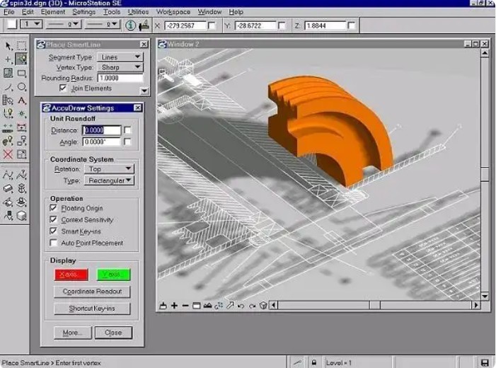
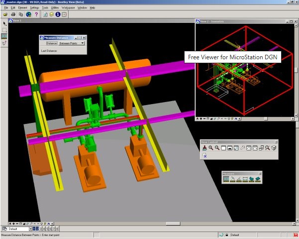
- MicroStation DGN format.
File Opening Mode
- MicroStation can convert DGN files to DWG format.