 Service

Loximuthal Projection
Nov 5,2025
GISBox is a one-stop 3D GIS data editing, conversion and publishing platform that supports editing in multiple GIS formats such as OSGB/GEOTIFF/RVT, converting to 3DTiles/Terrain and publishing.
Introduction
Loximuthal projection is a pseudocylindrical map projection proposed by Carl Simon in 1935. Its core characteristic is that rhumb lines (loxagonal courses) from a central point (the intersection of the central meridian and the central parallel) are displayed as straight lines, while maintaining true bearing and scale. The projection is neither equal-area nor conformal, but was originally designed to provide accurate compass bearings for maritime navigation while clearly defining local shapes by accurately representing course and distance from a central point.
Projection Basic
Rhumb Line Straightening: All rhumb lines (i.e., compass bearings) originating from the center point are rendered as straight lines, a characteristic that provides a unique advantage in nautical navigation.
Azimuth and Scale Trueness: Azimuths and scale radiating outward from the center point remain true, but the overall projection does not maintain constant area or angles.
Local Shape Sharpness: The projection accurately and clearly defines local shapes near the center point, minimizing the effects of distortion on navigation.
Pros
- High fidelity in mid-latitude regions: Minimal distortion in shape, area, and scale near standard parallels (e.g., 45°N/S), making it ideal for displaying geographic information in mid-latitude areas (e.g., Europe, North America, China).
- Balanced global distortion: Compared to other cylindrical projections (e.g., Mercator), it offers milder stretching at the poles and compression at the equator, resulting in more visually proportional global maps.
- Intuitive and easy to read: Straight, perpendicular meridians and parallels align with human perception, facilitating direction judgment and distance estimation.
- Historical and practical value: Widely used in British atlases, it remains suitable for educational purposes, world maps, and general reference applications.
Cons
- Significant distortion at high latitudes: Severe shape and area distortion near the poles (e.g., Greenland appears overly large), limiting its use for polar research or high-latitude navigation.
- Neither equal-area nor conformal: Fails to preserve both area and angle simultaneously, restricting its utility in precise measurements (e.g., land planning) or navigation (e.g., maritime charts).
- Limited versatility: Less adaptable than specialized projections (e.g., Lambert Conformal Conic for aviation, Albers Equal-Area for statistics) for targeted applications.
- Competition from modern alternatives: The rise of digital mapping and dynamic projections (e.g., adaptive Mercator) partially addresses its fixed-perspective limitations.
Application Scenario
The Loximuthal Projection is suitable for scenarios that need to accurately present the course and distance from a specific point as the center, such as marine/aviation navigation, regional route planning, and radial transportation/communication network display.
Example
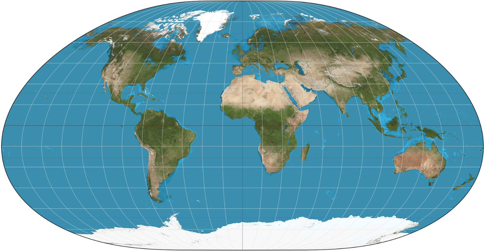
1. Loximuthal projection of the world, central point = 0°E, 30°N. 15° graticule.
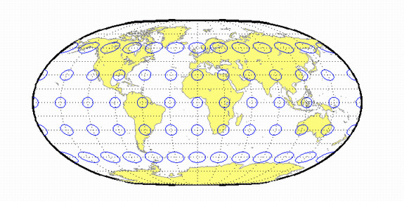
2. Loximuthal projection.
Related GIS Projections
Transverse Mercator Projection
Longitude / Latitude Projection