Service

OpenStreetMap (OSM)
Nov 5,2025
GISBox is a one-stop 3D GIS data editing, conversion and publishing platform that supports editing in multiple GIS formats such as OSGB/GEOTIFF/RVT, converting to 3DTiles/Terrain and publishing.
Introduction
OpenStreetMap (OSM) is an open-source, editable global geographic data project. Volunteers from around the world work together to create free and detailed maps by collecting, editing and sharing geographic information (such as roads, buildings, rivers, etc.). Its data can be used free of charge for various applications, providing a flexible and open geographic data foundation for commercial, scientific research and personal projects.
File Structure
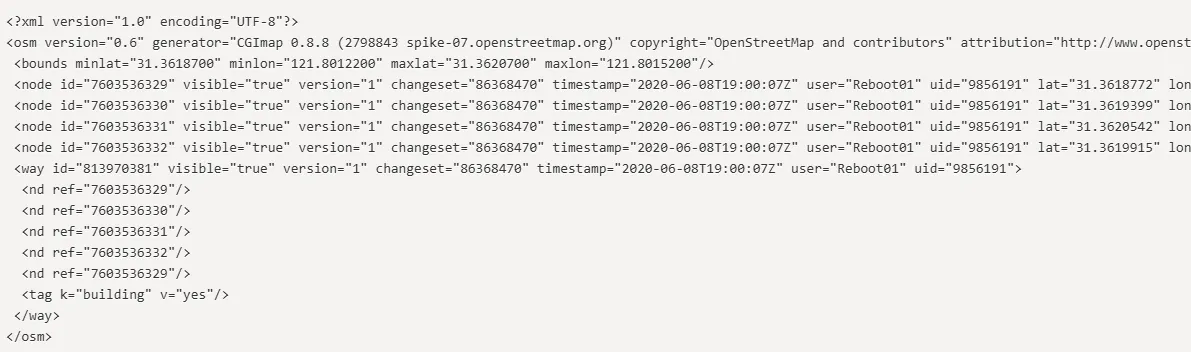
The OpenStreetMap (OSM) file structure consists of three basic elements:
- Node: A basic point element that stores latitude and longitude coordinates and attribute labels (such as POIs).
- Way: A linear or closed geometric entity connected by nodes, describing roads, building outlines, etc.
- Relation: A logical container that organizes the associations between multiple elements (such as bus routes and administrative boundaries).
Pros
- Completely free and open source: The data can be freely downloaded, modified, and used commercially without copyright barriers.
- Global community collaboration: Updated in real time by volunteers, covering remote areas (such as African villages).
- Highly customizable: Supports on-demand extraction of specific data such as roads and buildings, adapting to scenarios such as scientific research and rescue operations.
- Multi-format compatibility: Available in XML, PBF, and other formats, compatible with mainstream GIS tools (such as QGIS).
Cons
- Unstable data quality: Developed areas are rich in detail, while underdeveloped areas may only have main roads.
- High editing threshold: Understanding tagging standards (e.g., landuse=forest) is essential, and novices are prone to errors.
- Legal compliance risks: Redistribution must adhere to the ODbL protocol, and companies are responsible for the costs of compliance.
- Real-time data relies on manual processing: Post-disaster road condition updates may lag behind commercial maps (e.g., Google Maps).
- Inconsistent standards: Tagging practices vary significantly across regions, requiring data cleansing when integrating.
Application Scenario
OpenStreetMap (OSM) has applications across three broad areas: social services, professional fields, and general utility. In the social service sector, OSM is often used for humanitarian relief and community development, such as quickly marking roads in disaster zones or identifying accessible facilities. In the professional sector, it provides free geographic data support for urban planning, traffic management, and scientific research, such as road network analysis and ecological studies. For the general public, OSM's offline map functionality is particularly suitable for outdoor adventures and travel navigation, meeting the needs of users without an internet connection. These applications fully demonstrate the flexibility and practicality of OSM as an open source geographic data source.
Example
1. OpenStreetMap.
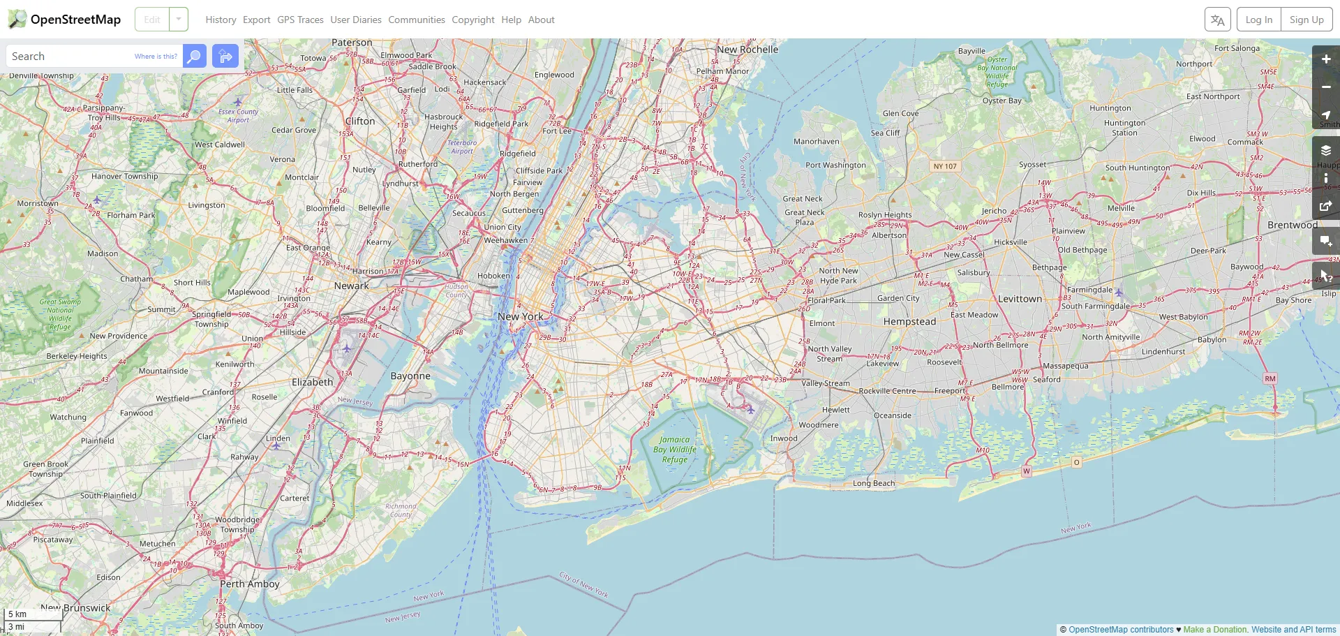
2. OpenStreetMap.
File Opening Mode
1. Open the contents of an OSM file.