Service


MapGIS
MapGIS is a domestic geographic information system (GIS) platform developed by China’s Zondy Cyber Group. The platform was born in the 1980s and has become one of the most widely used GIS software in China. MapGIS provides a variety of product lines such as desktop GIS, server GIS, Web GIS, and cloud GIS, which can realize the collection, management, analysis, visualization and sharing of spatial data.
2025-09-16 14:47:55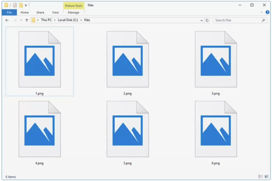
PNG (Portable Network Graphics)
PNG (Portable Network Graphics) is a commonly used image file format that is also widely used in GIS. It is a lossless compressed bitmap image format designed to replace the older GIF format. It supports 256 colors and transparency, and can be edited and saved multiple times without losing image quality. PNG files can store high-quality images with small file sizes and good image details.
2025-09-16 14:47:55
SDX (Spatial Data Exchange)
SDX (Spatial Data Exchange) is a common file format used to share and transfer spatial data between different GIS software. It can contain vector data and raster data, as well as attribute information related to them. They can store the geometry, topological relationships, attribute data, and spatial reference information of geographic features. By using SDX files, users can import, export, and share geographic data in different GIS software to achieve data interoperability and scalability.
2025-09-16 14:47:54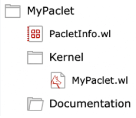
WL (Workspace File)
WL files usually stand for Workspace Files, which play an important role in saving and managing geographic data and related settings in MapGIS. They help users maintain the consistency of their work status and provide convenient data access and analysis functions.
2025-09-16 14:47:54
GeoDatabase
GeoDatabase is a geographic database used to store and manage geospatial data. It is a database format developed by Esri and is widely used in the field of GIS (Geographic Information System). GeoDatabase takes spatial data as its core and can store various geographic features and attribute information, such as maps, terrain, land use, road networks, water areas, etc. It supports a variety of data types, including points, lines, surfaces, rasters, topology, etc., and can accurately represent and process the location, shape and attributes of geographic objects.
2025-09-16 14:47:53
SuperMap
SuperMap is developed by Beijing SuperMap Software Co., Ltd. It combines spatial data processing, geographic information visualization and powerful spatial analysis functions. SuperMap mainly consists of four parts: desktop tools (SuperMap Desktop), secondary development components (SuperMap Objects), network development tools (SuperMapIS .NET) and embedded development tools (eSuperMap).
2025-09-16 14:47:52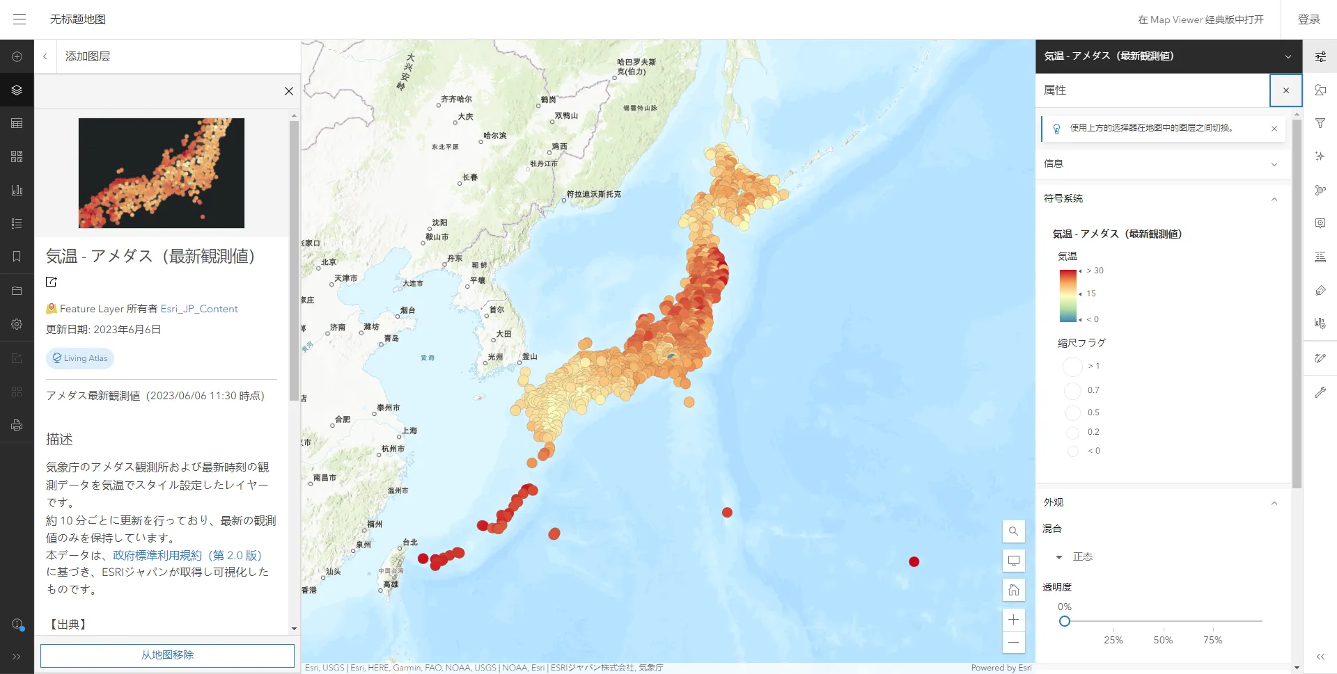
ArcGIS
ArcGIS is a geographic information system (GIS) software platform developed by ESRI (Environmental Systems Research Institute). It provides a wealth of tools and functions for capturing, managing, analyzing, and displaying geographic data. ArcGIS has a variety of applications, including map making, spatial analysis, geolocation, resource management, environmental planning, and other fields.
2025-09-16 14:47:52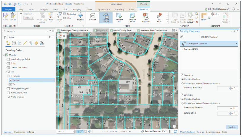
ESRI (Environmental Systems Research Institute)
ESRI (Environmental Systems Research Institute) is a leading global provider of geographic information system (GIS) software, headquartered in California, USA. Founded in 1969, the company focuses on providing geospatial data collection, management, analysis and visualization solutions. ESRI’s products are widely used in urban planning, disaster management, environmental monitoring, transportation, agriculture, disaster prevention and other fields, and are widely adopted by government agencies, enterprises and research institutions around the world.
2025-09-16 14:47:52