ECW(Enhanced Compression Wavelet)
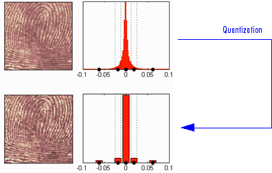
**ECW **(Enhanced Compression Wavelet) is an image compression format designed to efficiently compress and store large-scale raster image data, especially for remote sensing images and map data. The ECW format compresses image data using wavelet transform technology to reduce the volume of data while maintaining image quality as much as possible. The ECW file format was developed by Earth Resource Mapping (now Hexagon Geospatial) and is widely used in geographic information systems (GIS) and remote sensing fields.
2025-09-16 14:47:32ID(Identification File)
In GIS (Geographic Information System), ID files usually refer to identification files, which are files used to identify data sets. They usually contain metadata information such as the name, version, author, format, creation date, scope, and summary of the data set to help users understand and manage the data set. The format of the ID file can be a text file, XML file, or other structured format. In GIS, the metadata information of the data is very important, which can help users better understand the data set, evaluate data quality, and select appropriate data and analysis methods. Therefore, the ID file is also very important.
2025-09-16 14:47:25APRX (ArcGIS Project File Extension)
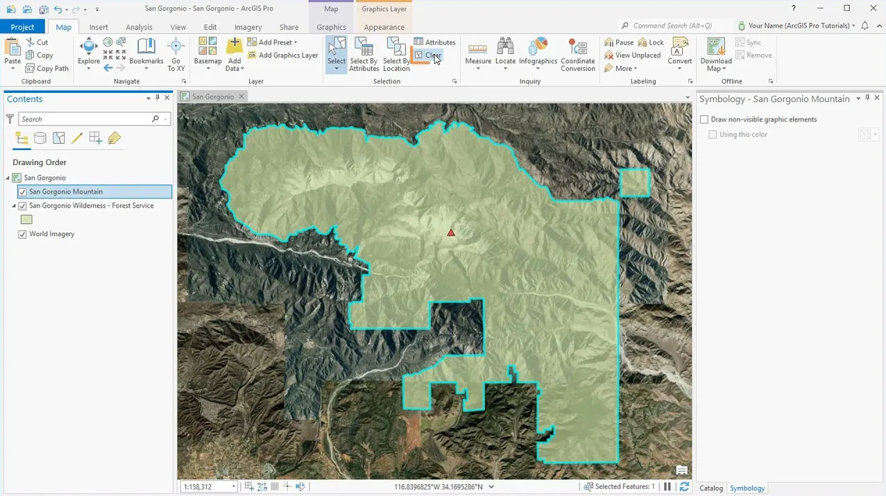
APRX files contain maps, toolboxes, databases, folders, and even styles. They can also contain connections to databases, servers, and folders. APRX files are the successor to MXD, which is the equivalent of a project file in Esri ArcGIS. But they differ from MXD in that a project can have multiple maps and layouts in one project.
2025-09-16 14:47:42RVM (AVEVA Review Model)
RVM is a 3D model data storage format developed by the British company AVEVA for the Plant Design Management System (PDMS). It is mainly used to store 3D model information such as pipelines, equipment, and structures of factory facilities (such as petrochemical plants and power stations). It supports both text (TextRVM) and binary (BinaryRVM) formats, the latter of which is more common and has higher storage efficiency.
2025-09-16 14:48:19TIF(Tagged Image File Format)
TIF (Tagged Image File Format, with the extension .tif or .tiff) is a flexible image file format developed by Aldus Corporation in 1986 (now owned by Adobe). TIF is widely used to process high-quality image data, especially in printing, photography, geographic information systems (GIS), and medical imaging. TIF supports a wide range of image data types, including monochrome images, grayscale images, RGB color images, and multispectral images.
2025-09-16 14:47:28GeoTIFF (Geographic Tagged Image File Format)
**GeoTIFF **(Geographic Tagged Image File Format) is a commonly used geographic information image file format that combines image data and geographic information data and can be used to store and transmit image data with geographic location references. The GeoTIFF format supports embedding geographic information such as geographic coordinates, projection information, and ellipsoid parameters into image files, so that the image can correspond to the geographic spatial coordinate system.
2025-09-16 14:47:51E00
E00 file is an export file format used by the ArcInfo software developed by ESRI (Environmental Systems Research Institute). This format is designed to be used for exchanging GIS (Geographic Information System) data between different systems and can store various GIS data such as ArcInfo Coverage and Grid Data. The E00 file is saved in text format and has different extensions (E00, E01, E02…) appended depending on the compression level. It is often used for data transfer and archiving, and is especially compatible with ESRI software.
2025-09-16 14:47:41MicroStation
MicroStation is a high-performance CAD (Computer Aided Design) software developed by Bentley Systems in the United States. It is widely used for design, modeling, and drawing creation in the fields of infrastructure, civil engineering, architecture, energy, and transportation, and supports both 2D and 3D drawing and visualization. MicroStation has a strong track record, especially in government agencies and large-scale infrastructure development projects, and is well-known as a professional tool with precision design and high compatibility.
2025-09-16 14:48:17GML (Geography Markup Language)
**GML **(Geography Markup Language) is an XML standard defined by the Open Geospatial Consortium (OGC) for storing and exchanging geographic information. As one of the core standards for geographic information systems (GIS) and spatial data infrastructure (SDI), GML provides a universal, text-based encoding method for complex geographic data models. It allows users to describe geometric shapes (such as points, lines, polygons), geographic features, attributes, and topological relationships, facilitating data sharing and interoperability between different systems.
2025-09-16 14:47:22
 Service

