Service

Batavia (Batavia Datum | EPSG:4211)
Jan 23,2026
GISBox is a one-stop 3D GIS data editing, conversion and publishing platform that supports editing in multiple GIS formats such as OSGB/GEOTIFF/RVT, converting to 3DTiles/Terrain and publishing.
Introduction
Batavia (Batavia Datum | EPSG:4211) is a region-specific, non-geocentric datum used primarily in the former Dutch East Indies (present-day Indonesia) during the early 20th century. Established to support colonial administration, topographic surveying, cadastral mapping, and infrastructure development, it served as a unified reference for surveying and mapping centered around Java. Today, it has been entirely replaced by modern geocentric coordinate systems such as ITRF and WGS84. Its practical relevance is now largely confined to the conversion and analysis of historical maps and legacy survey data.
Coordinate System Composition
Batavia Datum (EPSG:4211) is based on the Bessel 1841 ellipsoid and defines a two‑dimensional geographic coordinate system (longitude and latitude) with an origin set near Jakarta (formerly Batavia). As a non-geocentric datum, its ellipsoid is positioned to best fit the local region, making its origin and reference fundamentally different from contemporary global datums.
Pros
- High Regional Suitability for Surveying: Optimized as a non-geocentric datum for western Indonesia (particularly Java), Batavia achieved high surveying accuracy within the region under the technical conditions of its time.
- Provided a Unified Foundation for Surveying and Mapping: Served as a standardized reference for administrative surveys and topographic mapping during the colonial era, greatly improving the efficiency of land management and infrastructure planning.
- High Compatibility with Historical Records: Many topographic maps, cadastral plans, and technical drawings created in the early 20th century were based on Batavia Datum, making it essential for accurately interpreting spatial data from that period.
Cons
- Incompatibility with Modern Positioning Technologies: As a non-geocentric datum, it exhibits systematic discrepancies on the order of hundreds of meters compared to satellite‑compatible systems like WGS84 or ITRF, and cannot be directly used with GPS data.
- Regionally Limited Applicability: Designed specifically for western Indonesia, this datum is not meaningful in other regions and unsuitable for global applications.
- Officially Obsolete: Indonesia has since adopted more precise and geocentric national datums (e.g., DGN95, SRGI2013); Batavia Datum is no longer legally or operationally used.
- Complex Coordinate Transformation Required: Converting from Batavia Datum to modern systems such as WGS84 requires specialized knowledge and appropriate transformation models, accounting for both datum shifts and region‑specific parameters.
Application Scenario
The use of Batavia (EPSG:4211) is now largely restricted to historical and academic purposes. Specifically, it serves as a reference for accurately interpreting coordinates recorded in colonial‑era topographic maps, cadastral documents, and legacy survey data, and for transforming these into modern GIS environments. This enables historical geography research, urban development analysis, reconstruction of cultural heritage and old infrastructure locations, and re‑examination of legal boundaries—functioning as a crucial “bridge” that reactivates past spatial information as contemporary geographic data.
Example
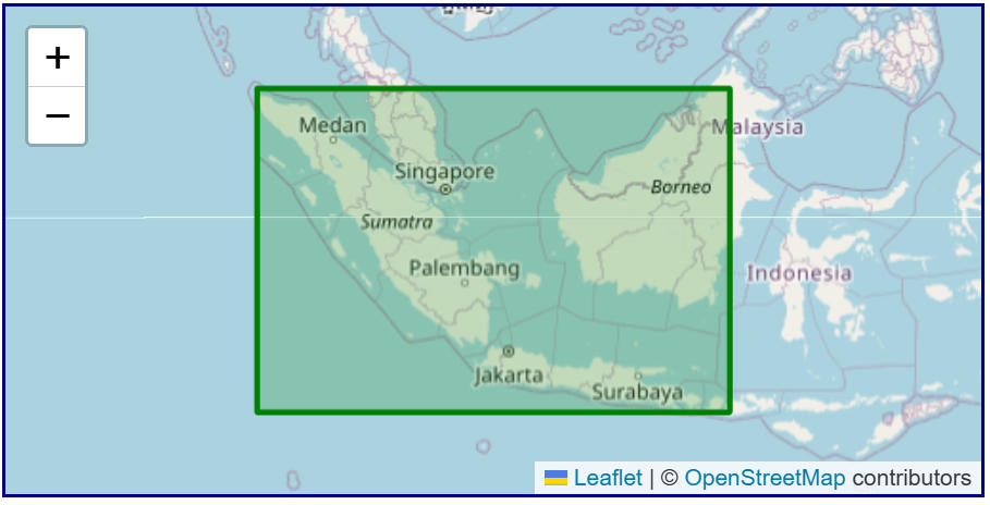
1. Coverage area of Batavia (EPSG:4211).