Service

Xian 1980 (Xi'an 1980 Coordinate System | EPSG:4610)
Jan 23,2026
GISBox is a one-stop 3D GIS data editing, conversion and publishing platform that supports editing in multiple GIS formats such as OSGB/GEOTIFF/RVT, converting to 3DTiles/Terrain and publishing.
Introduction
Xian 1980 (Xi'an 1980 Coordinate System | EPSG:4610) is a Chinese national geodetic datum established in the 1980s as an improved successor to the Beijing 1954 system. It was developed to address the limitations of the earlier non-geocentric datum and to better support China's growing surveying, mapping, and infrastructure needs. Based on the IAG 1975 ellipsoid with a geocentric origin, Xian 1980 represented a significant step toward modern geodetic standards in China. Although now superseded by the fully geocentric CGCS2000, it remains important for processing data from the late 20th century and serves as a transitional benchmark in China's geodetic evolution.
Coordinate System Composition
Xian 1980 (EPSG:4610) is a two‑dimensional geographic coordinate system (longitude and latitude) based on the IAG 1975 ellipsoid. Unlike its predecessor Beijing 1954, Xian 1980 adopts a quasi‑geocentric design with its origin closer to the Earth's center of mass. In practice, it was commonly used with the Gauss‑Krüger projection for national topographic mapping at various scales and formed the foundation for many provincial and municipal coordinate systems across China during the 1980s‑2000s.
Pros
- Improved Geocentric Characteristics: Compared to Beijing 1954, Xian 1980 features a more geocentric origin, reducing systematic errors when integrating with emerging satellite positioning technologies.
- Enhanced National Consistency: Provided a more accurate and unified reference framework for China's surveying and mapping activities, supporting large‑scale infrastructure projects and resource management.
- Transitional Technological Role: Served as a critical bridge between classical ground‑based surveying methods and modern space‑based geodetic techniques during China's rapid development period.
- Extended Operational Lifespan: Remained in active use for over two decades, forming the basis for numerous geographic databases and engineering projects throughout China.
Cons
- Not Fully Geocentric: While improved, Xian 1980 still maintains meter‑level discrepancies compared to truly geocentric systems like WGS84 or CGCS2000.
- Regional Implementation Variations: Different provinces and municipalities often implemented localized adaptations, creating compatibility challenges for nationwide data integration.
- Progressive Obsolescence: With the official adoption of CGCS2000 in 2008, Xian 1980 has been phased out for new projects and modern applications.
- Complex Transformation Requirements: Converting Xian 1980 coordinates to contemporary systems requires careful parameter selection and often involves multi‑step transformations through intermediate datums.
Application Scenario
Xian 1980 (EPSG:4610) is primarily utilized in legacy data processing and historical analysis contexts. It serves as the reference system for interpreting geographic information from China's reform and opening‑up period (1980s‑2000s), including topographic maps, cadastral surveys, urban planning documents, and early digital geographic databases. This coordinate system enables the integration of late‑20th‑century spatial data into modern GIS workflows, supporting applications such as historical urban expansion studies, infrastructure lifecycle management, environmental change analysis, and the conversion of archival engineering drawings for contemporary use. Additionally, it remains relevant for legal and administrative purposes when dealing with historical land records and property boundaries established during its operational period.
Example
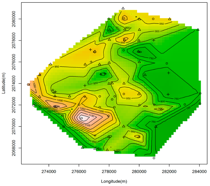
1. A map of the distribution of plots based on Xi’an 1980 geodetic coordinate system.