Service

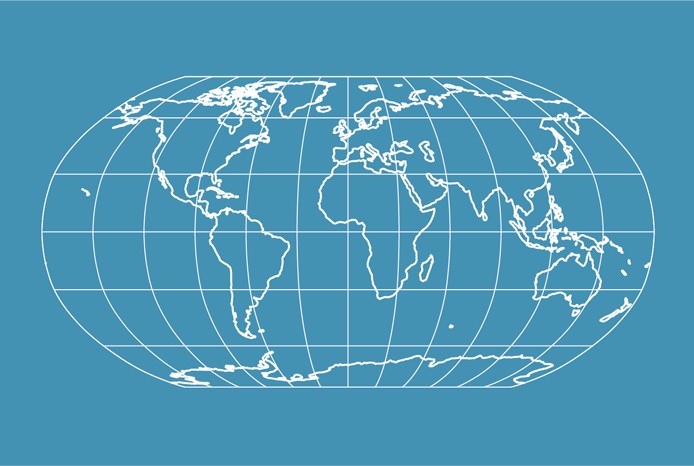
Robinson Projection
Nov 24,2025
GISBox is a one-stop 3D GIS data editing, conversion and publishing platform that supports editing in multiple GIS formats such as OSGB/GEOTIFF/RVT, converting to 3DTiles/Terrain and publishing.
Introduction
Robinson projection is a widely used map projection method developed since the 1960s, designed to represent the entire world on a single map. It seeks a practical compromise for displaying the whole Earth on a flat surface. Introduced in 1963 by Dr. Arthur H. Robinson, this projection features straight latitude lines and evenly spaced meridians, classifying it as a pseudocylindrical projection. While the central meridian is straight, all other meridians are curved. Robinson defined this projection by constructing a lookup table of Cartesian coordinates through specific interpolation of latitudes and longitudes, rather than using mathematical formulas.
Coordinate System Composition
- Projection Method: Employs a pseudocylindrical approach where meridians are distributed as equally spaced elliptical arcs, bulging outward symmetrically from the central meridian.
- Central Meridian: A straight line measuring 0.51 times the length of the equator, serving as the baseline for the projection.
- Latitude Distribution: Latitude lines are straight and equally spaced between 38°N and 38°S, with spacing gradually decreasing beyond these latitudes.
- Pole Treatment: The poles are represented as straight lines measuring 0.53 times the length of the equator.
- Coordinate Basis: Coordinate transformation is achieved through precomputed tabular data rather than mathematical formulas.
Pros
- Visual Balance: Designed through graphical composition rather than mathematical equations, it provides realistic landform outlines with evenly distributed distortion, creating a strong spherical impression. It is particularly effective for illustrating geographical relationships across the Pacific Ocean and its coastal nations.
- Low Areal Distortion: As an arbitrary projection with minimal areal distortion, it exhibits moderate stretching at high latitudes, with a gradual increase in areal inaccuracies toward the poles.
- Broad Applicability: Commonly used for general world maps, it effectively highlights regional connections (e.g., between China and Pacific nations) and maintains good symmetry in the graticule.
Cons
- Non-Equal-Area and Non-Conformal: It is neither equal-area (area proportions are inaccurate) nor conformal (angular distortions occur). Significant angular distortion appears at high latitudes, and the poles are elongated into lines instead of points.
- Localized Distortion: Angular and distance distortions increase toward map edges, potentially causing visual misinterpretations in regions like the Canadian Arctic Archipelago (e.g., exaggeration of east-west trends).
- Limitations: Designed for spherical Earth models only. For ellipsoidal models, adjustments using equal-area radii or semi-major axes are required, which may compromise accuracy.
Application Scenario
The Robinson projection is primarily suited for general world maps and global thematic mapping. Its design, based on graphical adjustments rather than mathematical equations, produces realistic land contours and balanced visuals, leading to its adoption by National Geographic for world maps from 1988 to 1998. By compromising distortions in area, shape, and distance, it is ideal for scenarios requiring both aesthetic appeal and regional representation, such as displaying global climate patterns or population density. However, its areal exaggeration and angular distortions at high latitudes make it unsuitable for precision measurement or localized analysis.
Example
1. Robinson projection.
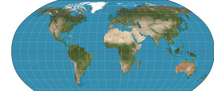
2. Robinson projection.