
 Service

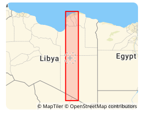
Libya Transverse Mercator coordinate system (EPSG:2062)
Libya Transverse Mercator coordinate system (EPSG:2062) is a projected coordinate reference system officially adopted by the State of Libya for national topographic mapping and cadastral surveying. Originally developed in the mid-20th century under Italian and later international geodetic influence, the system is based on the War Office ellipsoid and is historically tied to Libya’s national mapping infrastructure. While newer geocentric systems are increasingly used for GNSS applications, Libya TM remains critical for processing and maintaining historical geographic records, land administration documents, and foundational topographic series across the country.
2026-02-06 14:21:03
Saudi Aramco Lambert coordinate system (EPSG:2329)
Saudi Aramco Lambert coordinate system (EPSG:2329) is a regional projected coordinate system historically developed and utilized by the Saudi Arabian Oil Company (Saudi Aramco) for its internal exploration, mapping, and engineering operations. This proprietary system, based on a modified regional datum, was established to meet the company's specific needs for geodetic control and mapping across its expansive operating areas in eastern Saudi Arabia. While modern global systems are now prevalent, understanding this legacy system remains crucial for interpreting and integrating a vast archive of historical well data, seismic surveys, pipelines, and facility maps that form the foundation of Saudi Arabia's petroleum industry.
2026-02-06 14:16:25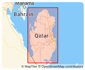
Qatar National Grid (Qatar National Grid 2009 | EPSG:28600)
Qatar National Grid (Qatar National Grid 2009 | EPSG:28600) is a projected coordinate system officially adopted by the State of Qatar for national surveying, mapping, and land administration. Established in 2009 through collaboration between Qatar’s Ministry of Municipality and Environment and international geodetic experts, this system provides a modern, GNSS-compatible framework optimized for Qatar’s compact territory and rapid urban development. It supports high-precision applications in construction, infrastructure, and cadastral management, serving as Qatar’s primary legal and technical coordinate reference.
2026-02-06 13:54:42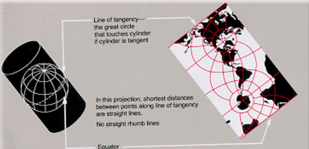
Oblique Mercator Projection
Oblique Mercator Projection differs from the standard Mercator and Transverse Mercator projections by orienting the axis of the projection cylinder obliquely relative to the Earth's rotational axis and equator. This projection is designed to minimize distortion along a specific straight line or great circle, making it well-suited for high-precision representation of regions that are elongated in a diagonal direction. Notable examples of its use include mapping the Alaska Highway, long-distance pipelines, and geological structures that extend diagonally.
2026-01-31 14:37:48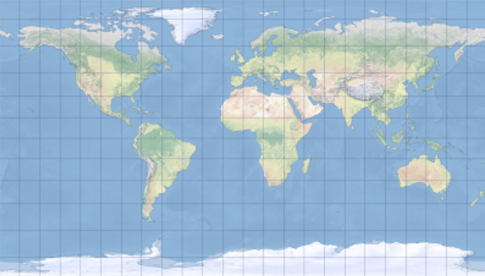
Patterson Cylindrical Projection
Patterson Cylindrical Projection is a pseudocylindrical projection proposed in 2014 by Tom Patterson, a cartographic editor at the National Geographic Society. Designed to emphasize visual balance, it aims to mitigate the excessive polar distortion seen in projections like Mercator and the vertical distortion characteristic of sinusoidal projections. As a result, it can depict the entire world with a gentle and natural impression. Although not an equal-area or conformal projection, it evenly distributes distortions in area, shape, and distance, making it suitable for modern world map representations.
2026-01-31 14:33:56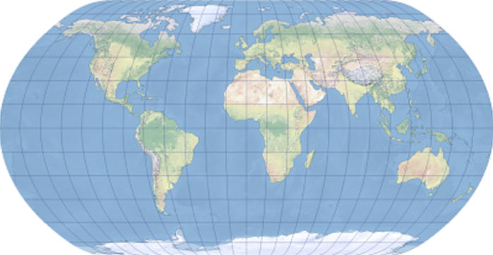
Natural Earth Projection
Natural Earth Projection is a pseudocylindrical world map projection proposed in 2009 by Tom Patterson and Bo Jenny. Designed to prioritize visual naturalness and overall balance, it is characterized by its ability to depict a harmonious global image without excessively distorting the shapes of landmasses and oceans. As a compromise projection that does not strictly adhere to equal-area, conformal, or equidistant properties, it is widely adopted for applications that value clarity and aesthetics, such as statistical maps, educational maps, printed materials, and web maps.
2026-01-31 14:26:36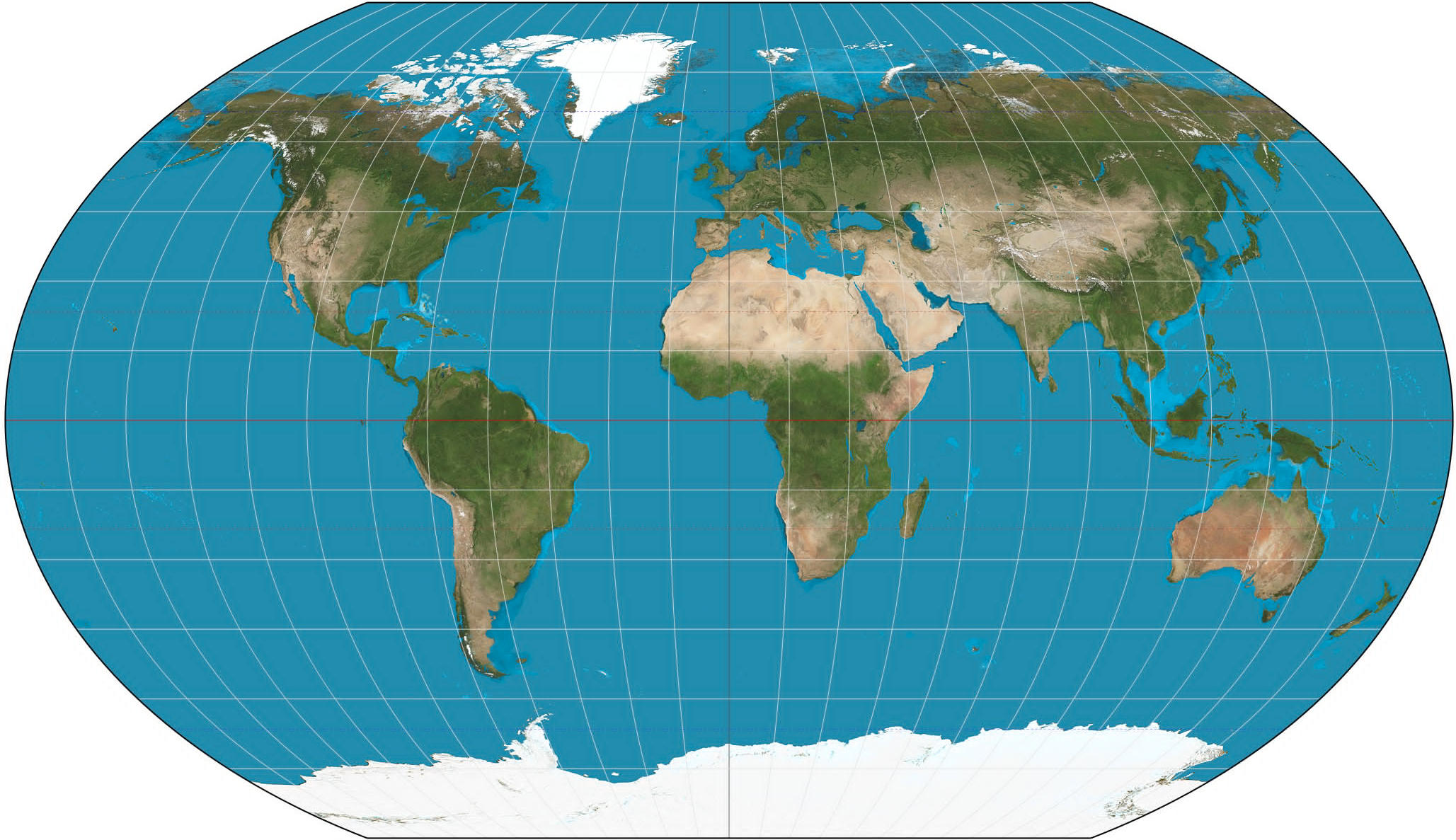
Kavrayskiy VII Projection
Kavrayskiy VII Projection is a world map projection classified as a pseudocylindrical projection. It was proposed in 1939 by the Russian cartographer Vladimir V. Kavrayskiy. Unlike projections that strictly preserve properties such as equal area or conformality, it is designed to visually represent the entire Earth in a balanced manner. It notably controls distortion in area and shape at high latitudes, avoiding extreme exaggeration and presenting a moderate appearance. This projection has primarily been used for thematic and overview world maps.
2026-01-31 14:20:08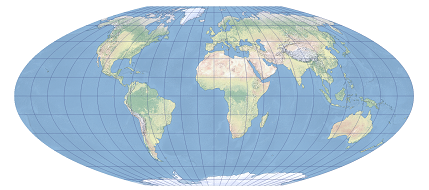
McBryde–Thomas Flat-Polar Sinusoidal Projection
McBryde–Thomas Flat‑Polar Sinusoidal Projection is a compromise world map projection designed by American cartographers F. Webster McBryde and Paul D. Thomas in the mid‑20th century. It aims to balance area distortion, shape preservation, and visual readability. This projection adopts a flat‑pole design in polar regions to reduce high‑latitude stretching and incorporates sinusoidal meridian distribution to improve shape accuracy in mid‑to‑low latitudes. It is suitable for global‑scale thematic mapping and educational communication purposes.
2026-01-27 19:08:10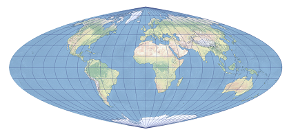
Quartic Authalic Projection
Quartic Authalic Projection is a pseudocylindrical equal-area projection independently developed by Karl Siemon in 1937 and Oscar S. Adams in 1945. It is derived by modifying the Lambert azimuthal equal-area projection, featuring a straight central meridian approximately 0.45 times the length of the equator, with other meridians represented as fourth-order algebraic curves and parallels as straight lines perpendicular to the central meridian. The poles are depicted as points. While significant shape distortion occurs along the edges due to excessive convexity of the meridians, the scale remains accurate along the equator and any given latitude, making it suitable for thematic world maps requiring precise area preservation.
2026-01-26 14:17:40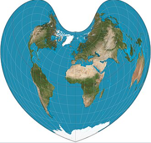
Bonne Modified Projection
Bonne Modified Projection is an equal-area pseudoconical projection method, an optimized variant of the classic Bonne projection. It preserves equal-area properties while improving shape distortion in peripheral regions. Originally proposed by the French cartographer Rigobert Bonne in the 18th century, this projection has undergone multiple mathematical refinements to meet modern cartographic needs. It is particularly suitable for mapping medium-scale regions at mid-latitudes. By parameterizing adjustments to the standard parallel and central meridian, the modified Bonne projection achieves a balance between equal-area accuracy, shape fidelity, and directional rationality, making it a common choice for thematic and regional planning maps.
2026-01-23 15:12:00