
 Service


Jordan TM (Jordan Transverse Mercator | EPSG:3144)
Jordan TM (Jordan Transverse Mercator | EPSG:3144) is a projected coordinate system officially adopted by the Hashemite Kingdom of Jordan for national mapping and surveying purposes. Developed under British technical influence during the mid-20th century, this system serves as Jordan's primary framework for topographic mapping, land administration, and infrastructure development. While modern GNSS-compatible systems are increasingly utilized, Jordan TM remains essential for interpreting historical geographic data and maintaining continuity in the country's geospatial records.
2026-01-23 15:03:48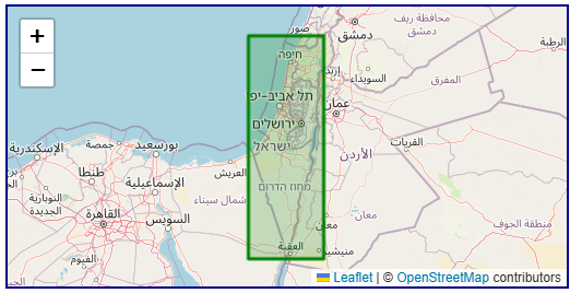
Israel TM Grid (Israeli National Grid | EPSG:2039)
Israel TM Grid (Israeli National Grid | EPSG:2039) is the official national projected coordinate system adopted by Israel, primarily used for surveying, mapping, and engineering construction within the country. This coordinate system is based on the Israeli national surveying system and employs a Transverse Mercator projection to facilitate precise measurements and map compilation in Israel and its surrounding regions. Although global positioning systems (such as WGS84) have gained widespread use, the Israel TM Grid remains highly valuable for local engineering, land management, and historical geospatial data applications.
2026-01-23 14:56:26
Hong Kong 1980 Grid (Hong Kong 1980 Coordinate System | EPSG:2326)
Hong Kong 1980 Grid (Hong Kong 1980 Coordinate System | EPSG:2326) is a regional projected coordinate system specially designed for Hong Kong's urban surveying and mapping needs during the late 20th century. Developed as part of Hong Kong's territorial surveying framework, this system employs a transverse Mercator projection centered on the region's specific geographical characteristics. Although now supplemented and partially superseded by modern geocentric systems, it remains crucial for processing legacy engineering plans, cadastral records, and historical urban data from Hong Kong's development boom period.
2026-01-23 14:41:38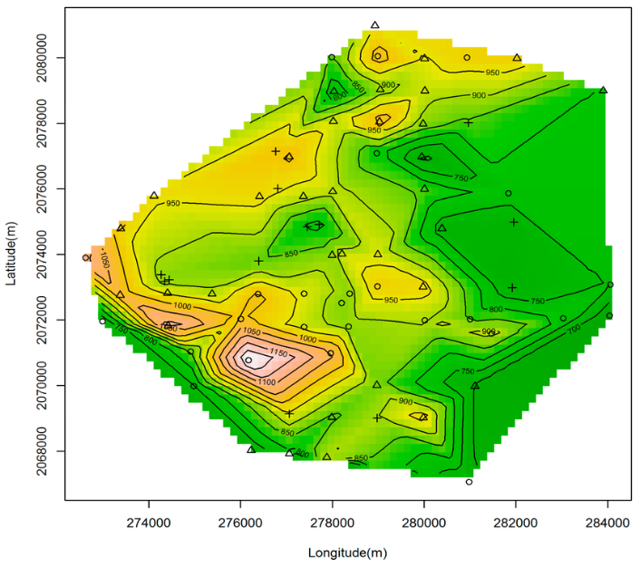
Xian 1980 (Xi'an 1980 Coordinate System | EPSG:4610)
Xian 1980 (Xi'an 1980 Coordinate System | EPSG:4610) is a Chinese national geodetic datum established in the 1980s as an improved successor to the Beijing 1954 system. It was developed to address the limitations of the earlier non-geocentric datum and to better support China's growing surveying, mapping, and infrastructure needs. Based on the IAG 1975 ellipsoid with a geocentric origin, Xian 1980 represented a significant step toward modern geodetic standards in China. Although now superseded by the fully geocentric CGCS2000, it remains important for processing data from the late 20th century and serves as a transitional benchmark in China's geodetic evolution.
2026-01-23 14:34:34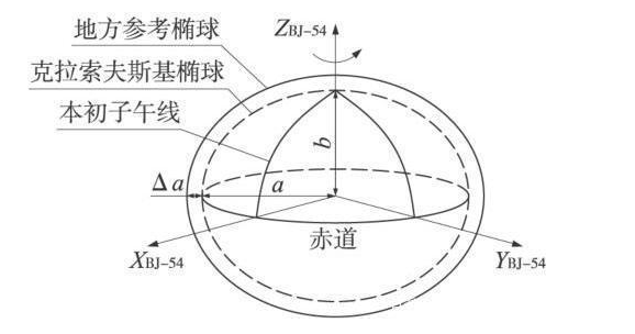
Beijing 1954 (Beijing 1954 Coordinate System, EPSG:4214)
Beijing 1954 (Beijing 1954 Coordinate System, EPSG:4214) is a national geodetic datum established in China during the 1950s. As the first nationwide unified coordinate system introduced after the founding of the People’s Republic of China, it is a non-geocentric (local) datum designed for nationwide surveying and mapping. It was developed with reference to the Soviet geodetic framework and is based on the Krasovsky 1940 ellipsoid. This coordinate system was used extensively across China for foundational surveying, topographic mapping, infrastructure construction, and land administration over a long period, forming the basis of China's surveying and mapping system in the latter half of the 20th century. Although it has now been officially replaced by the more precise and geocentric CGCS2000, it still plays a significant role in processing historical and legacy data.
2026-01-23 14:25:04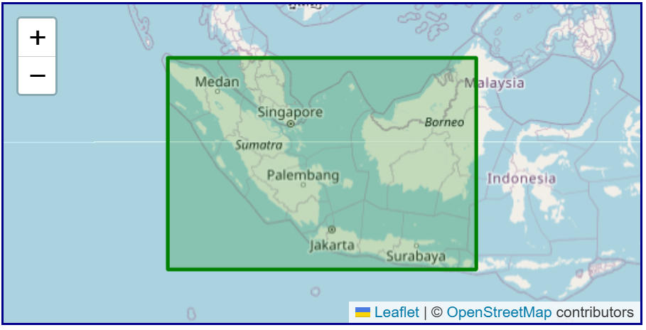
Batavia (Batavia Datum | EPSG:4211)
Batavia (Batavia Datum | EPSG:4211) is a region-specific, non-geocentric datum used primarily in the former Dutch East Indies (present-day Indonesia) during the early 20th century. Established to support colonial administration, topographic surveying, cadastral mapping, and infrastructure development, it served as a unified reference for surveying and mapping centered around Java. Today, it has been entirely replaced by modern geocentric coordinate systems such as ITRF and WGS84. Its practical relevance is now largely confined to the conversion and analysis of historical maps and legacy survey data.
2026-01-23 14:17:47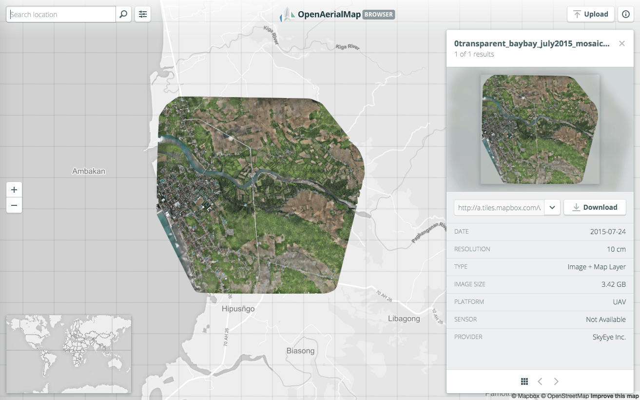
OpenAerialMap API
The OpenAerialMap API is a public API service for sharing and accessing aerial and drone imagery (aerial photographs and orthoimagery) operated under the principles of open source. It is primarily led by communities such as the Humanitarian OpenStreetMap Team (HOT) and provides access to metadata and actual imagery data worldwide for purposes including disaster response, humanitarian aid, research, and public use. Through the API, users can search and retrieve aerial imagery based on criteria such as geographic area, acquisition date, resolution, and license terms, promoting the reuse and transparency of geospatial data.
2026-01-23 14:10:52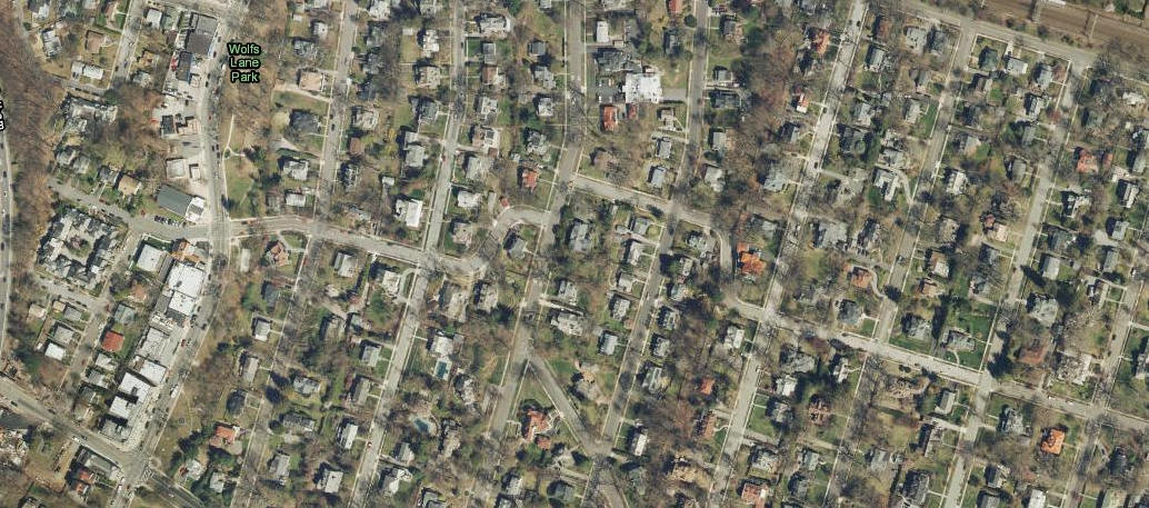
USGS EarthExplorer / API
USGS EarthExplorer is an official geospatial data search and distribution platform provided by the United States Geological Survey (USGS). It primarily offers a diverse range of remote sensing and terrain data—including satellite imagery, aerial photographs, digital elevation models (DEM), and land cover data—free of charge. EarthExplorer features a web‑based interface and also supports automated access via an Application Programming Interface (API), providing researchers and engineers with an efficient environment for acquiring and processing large‑scale data.
2026-01-23 13:51:24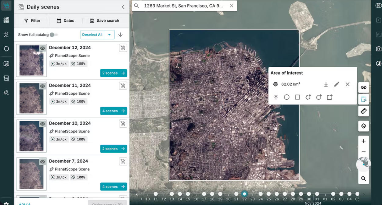
Planet Labs API
The Planet Labs API is an API provided by the US-based company Planet Labs for delivering Earth observation satellite data. It is characterized by its ability to programmatically search, retrieve, and analyze satellite imagery captured by a large number of small Earth observation satellites (known as the "Dove" constellation), offering high-frequency and high-temporal-resolution data. A key strength lies in its "daily revisit" capability, enabling near-real-time monitoring of surface changes—a significant departure from traditional satellite data services.
2026-01-23 13:45:39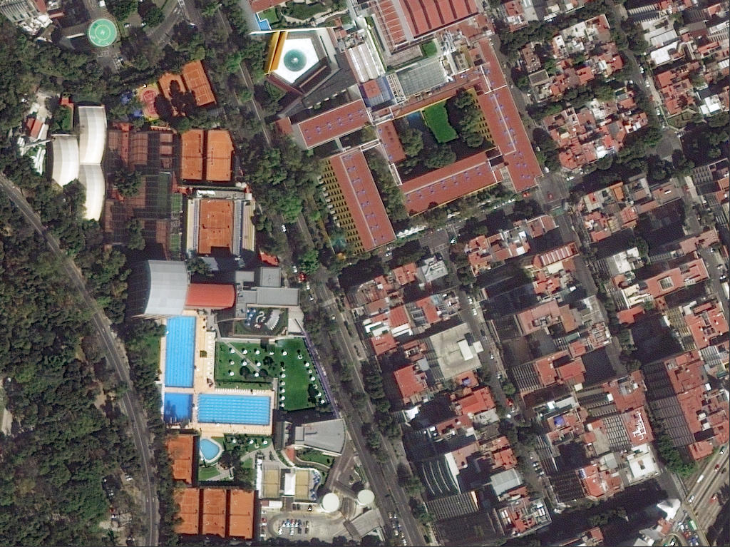
DigitalGlobe / Maxar Imagery API
DigitalGlobe / Maxar Imagery API is a commercial satellite imagery delivery service and set of APIs provided by Maxar Technologies (formerly DigitalGlobe) in the United States. It is characterized by its ability to deliver sub-meter resolution optical satellite imagery, captured by high-performance Earth observation satellites such as WorldView and GeoEye, through an online API. Users can flexibly search, visualize, and download both the latest and archived imagery, making it a key foundational service for geospatial analysis, decision support, and both commercial and public applications.
2026-01-23 13:38:25