
 Service

_1762325218130.png)
NZGD2000 (New Zealand Geodetic Datum 2000 | EPSG:4167)
NZGD2000 (New Zealand Geodetic Datum 2000) is the New Zealand 2000 geodetic datum, which is the current national geodetic coordinate system of New Zealand. It is used to define the reference framework of the country's geospatial data and plays an important role in surveying and mapping, geographic information, engineering and other fields.
2025-11-05 14:46:27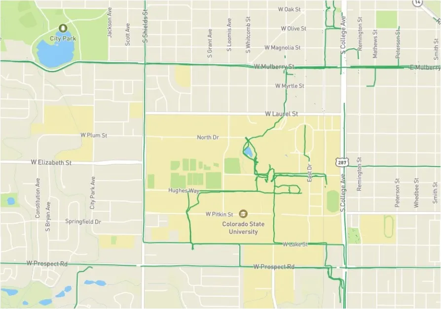
Mapillary Image Matching API
Mapillary Image Matching API is an interface service based on image matching technology, which aims to achieve spatial consistency and feature correspondence between multiple images using computer vision algorithms. This API detects key points (feature points) such as SIFT and ORB, and calculates a homography matrix to geometrically align images taken from different viewpoints or at different times.
2025-11-05 14:43:52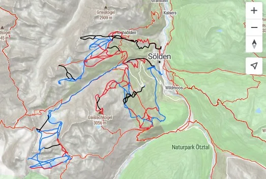
Mapillary Vector Tiles API
Mapillary Vector Tiles API is an interface that provides structured vector map data, providing developers with the geographic locations and attributes of real-world objects (e.g., road markings, traffic signs, lanes, and road shapes) collected by the Mapillary platform in the form of efficiently transportable "tiles." Developers can use this highly accurate vector data to build applications such as augmented reality (AR) navigation, detailed map analysis, and infrastructure management tools.
2025-11-05 14:42:28
OpenStreetCam
OpenStreetCam is an open-source map data collection project run by TeleNav, which collects street imagery and video data through crowdsourcing, contributing to improving the accuracy of OpenStreetMap. Meanwhile, the OpenStreetView API is an interface service provided by the OpenStreetMap project, designed to allow developers to access geographic data and integrate functions such as map display and geocoding. The relationship between the two is such that OpenStreetCam is responsible for data collection, and the results can be accessed and displayed through the OpenStreetView API.
2025-11-05 14:41:07
Mapillary API
Mapillary API allows developers to access data from Mapillary's crowdsourced Street View platform, supporting geotagged photos, videos, and traffic-related information. Through this API, developers can integrate Street View data into their applications for mapping services, traffic analysis, or computer vision tasks. Its functionality includes image retrieval, metadata querying, and collaboration with object detection models (e.g., AP/mAP evaluation metrics). This API primarily serves technical scenarios requiring large-scale Street View data, such as autonomous driving and smart city projects.
2025-11-05 14:39:43
QGIS Cloud
QGIS Cloud is a cloud-based geographic information platform based on QGIS. It allows users to quickly publish desktop GIS projects as web maps using a plugin, enabling server-free spatial data sharing. It provides a personalized spatial data infrastructure (SDI) and supports PostgreSQL/PostGIS database management. It is available in two service models: a free (public access) version and a Pro (access control) version. This platform simplifies the map publishing process, allowing users to deploy maps to the cloud by simply installing a plugin in QGIS Desktop.
2025-11-05 14:38:37
Apple Maps
Apple Maps is Apple's official mapping app, pre-installed on devices like iPhone and iPad. It provides precise navigation, real-time traffic information, and 3D street views. It integrates with the Siri voice assistant, supports public transportation queries, and allows for location bookmarking. Its user-friendly interface and timely data updates make it an indispensable tool in the Apple ecosystem.
2025-11-05 14:37:56_1762324653606.jpg)
Naver Maps API
Naver Maps API is a mapping service development interface provided by South Korea's NAVER Corporation. It supports integration across multiple platforms, including JavaScript, Android, and iOS, and provides features such as map rendering, route planning, coordinate conversion, and 3D viewing. The API utilizes a modular design, including submodules such as Street View and Heatmap, and is optimized for mobile performance, making it suitable for developing localized map applications in South Korea and surrounding areas. The latest version supports the React Native framework's New Architecture, enhancing the interactive map experience.
2025-11-05 14:36:31_1762324583188.jpg)
ZENRIN Maps API
ZENRIN Maps API is a geospatial service interface primarily used to provide map data, route planning, location search, and other functionality, similar to other mainstream map APIs (such as the Baidu Maps API or Azure Maps). It may support basic functionality such as 2D/3D map display, coordinate conversion, and real-time traffic information, but specific features should be referenced in the official documentation. Currently, search results do not directly mention a detailed description of the ZENRIN Maps API. It is recommended to consult its official website or developer platform for more accurate technical documentation.
2025-11-05 14:32:34_1762324334930.jpg)
OpenLayers
OpenLayers is an open-source JavaScript library for creating interactive maps and geographic information system (WebGIS) applications on web pages. It supports a variety of map data sources, including tiled maps (such as OpenStreetMap and Google Maps), vector data (such as GeoJSON), and WGS-compliant WMS/WFS services. Through its rich API and layer management capabilities, developers can implement map operations such as zooming, panning, and annotation, and support custom styles and extension plug-ins.s OpenStreetMap and Mapbox. Its core strengths lie in its small size (approximately 39-42KB), fast loading speed, and compatibility with major browsers and older versions of Internet Explorer. Leaflet is widely used in data visualization, geographic information display, and other scenarios, and is particularly well-suited for projects with high mobile compatibility requirements.
2025-11-05 14:31:41