
 Service


GeoVRML
GeoVRML (Geographic Virtual Reality Modeling Language) is an extension of VRML (Virtual Reality Modeling Language) designed specifically for the 3D visualization of geospatial data. It uses standardized tags to describe terrain, coordinate systems, and geographic objects, enabling the sharing and interaction of 3D geographic scenes over the internet. It is commonly used for virtual simulation in fields such as Digital Earth and urban planning.
2025-11-05 14:03:13_1762322555366.webp)
DTED (Digital Terrain Elevation Data)
DTED (Digital Terrain Elevation Data) is a regularly gridded dataset representing Earth's surface elevation. Designed by the U.S. National Geological Information Service, it is widely used in fields such as military navigation and disaster response. The data is classified into different resolution levels (e.g., DTED0, DTED1, and DTED2), corresponding to resolutions of 900 meters, 90 meters, and 30 meters, respectively. The latest data may reach DTED3 (12 meters). File names are based on longitude and latitude (e.g., E000 for 0-1 degrees east longitude, N05 for 5-6 degrees north latitude), with the suffix indicating the level (e.g., .DT1 for DTED1).
2025-11-05 14:02:00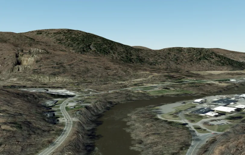
USG SDEM (United States Geological Survey Digital Elevation Model)
USGS DEM is an open DEM data format standard defined by the United States Geological Survey (USGS). It uses ASCII code for storage and consists of three logical records: A (file header), B (section data), and C (precision information). Each logical record unit is fixed at 1024 bytes. This format supports both UTM projection and geographic coordinate (seconds) grid types, and the data range covers a variety of geographic grid products, including 7.5 minutes, 30 minutes, and 1 degree. Its files can be directly read and converted to common raster formats using tools such as ArcGIS. The GDAL library natively supports parsing and can automatically identify coordinate systems and elevation units (meters/feet).
2025-11-05 14:00:52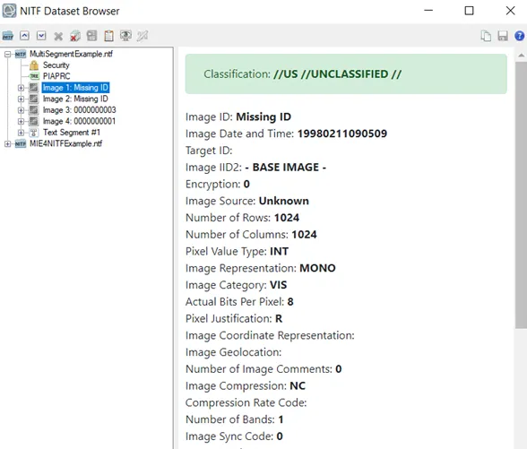
NITF (National Imagery Transmission Format)
NITF (National Imagery Transmission Format) is a specialized imagery data format developed by the United States Department of Defense, primarily for the storage and transmission of high-definition grayscale and color imagery for military and intelligence purposes. This format supports multiple compression methods (such as JPEG and JPEG2000) and integrates text, graphics, and metadata into a single file, conforming to the ISO/IEC 15444-1 standard. Features include high-precision geographic coordinate support (via IGELO or RPC metadata) and cross-platform compatibility (parsable with tools such as GDAL), making it widely used for satellite imagery, aerial photography, and government data exchange.
2025-11-05 14:00:02
SAIF (Spatial Archive and Interchange Format)
SAIF (Spatial Archive and Interchange Format) is an open geographic data standard developed under the leadership of the Canadian government. It uses an object-oriented multiple inheritance model to build a standardized framework containing more than 300 basic classes. It realizes one-to-many data conversion and interoperability across GIS platforms and database systems through the SAIF/ZIP compression mechanism, providing a unified intermediate exchange format for multi-source heterogeneous geographic spatial data. It is particularly suitable for cross-platform data sharing scenarios that require compatibility with multiple commercial software and databases.
2025-11-05 13:58:37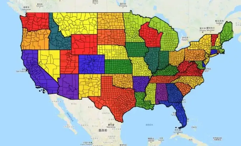
TIGER (Topologically Integrated Geographic Encoding and Referencing)
TIGER is a topological vector data model developed by the U.S. Census Bureau for storing and managing geospatial data. This model explicitly records the topological relationships between points, lines, and surfaces, preserving spatial adjacency information between objects. It is widely used in fields such as demographics and urban planning. Its data format supports efficient spatial query and analysis, forming a crucial foundation for early Geographic Information Systems (GIS).
2025-11-05 13:57:47_1762321971021.jpg)
LandXML (Civil Engineering Data Exchange Format)
LandXML is an XML-based civil engineering data exchange format primarily used for sharing infrastructure design data such as roads, terrain, and land parcels between different CAD platforms. It uses standardized data structures to transfer geometric information (such as surfaces and COGO points) and attribute data between software like Autodesk Civil 3D. It supports specialized parameters such as northing/easting/elevation coordinate systems and station number disconnection. This format is particularly suitable for terrain processing and survey data import, effectively reducing model conversion time and maintaining data integrity.
2025-11-05 13:52:11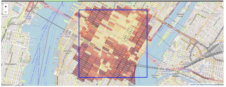
FlatGeobuf
FlatGeobuf is a high-performance binary-encoded vector geographic data format designed for processing large-scale static geographic data. It utilizes FlatBuffers technology for compact storage and fast read/write speeds. It features a built-in Packed Hilbert R-Tree spatial index and supports streaming and on-demand loading, significantly improving network transmission efficiency and rendering speed. It is particularly well-suited for scenarios requiring efficient processing of massive amounts of geospatial data. As an open-source format, FlatGeobuf is compatible with mainstream tools such as GDAL, QGIS, and GeoServer, and supports multi-language implementations, making it an ideal alternative to traditional Shapefiles and GeoJSON.
2025-11-05 13:50:23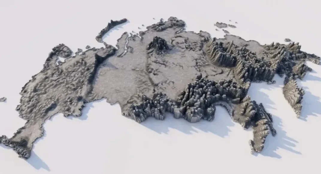
SXF (Russian State Surveying Format)
SXF (Russian State Surveying Format) is a proprietary format used by the Russian Federation to store and process geospatial data. It is primarily used in national surveying and mapping projects, such as topographic maps and cadastral surveys. This format supports structured storage of both vector and raster data, including coordinate systems and attribute tables, and complies with Russian national surveying and mapping standards. Designed to balance data accuracy and localization requirements, it is commonly used by government surveying and mapping agencies and related professional software.
2025-10-31 14:48:40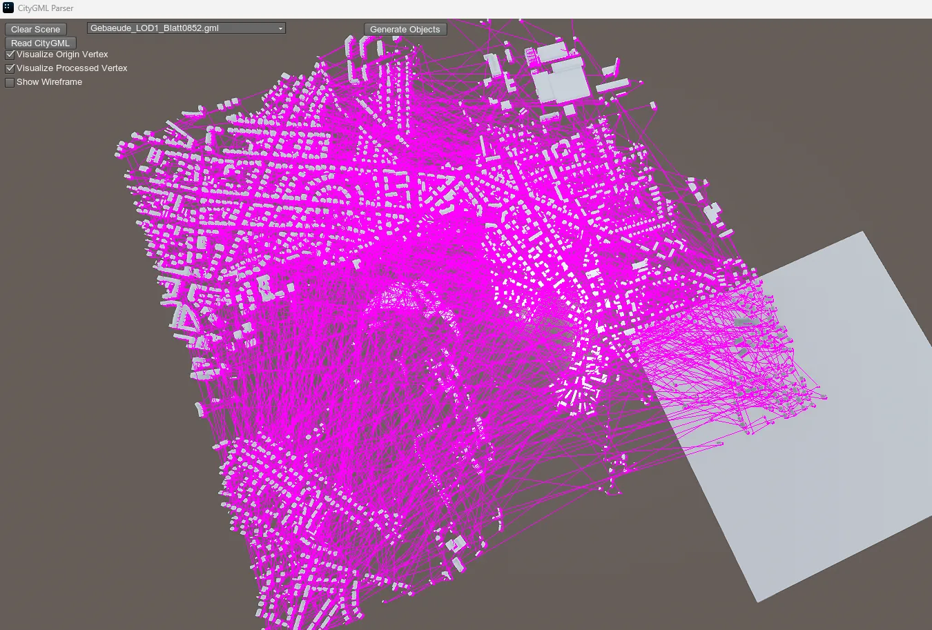
CityGML (City Geography Markup Language)
CityGML, an international standard for the exchange of 3D city model data developed by the Open Geospatial Consortium (OGC), uses XML encoding to uniformly describe the geometric, topological, semantic, and appearance attributes of urban elements.
2025-10-31 13:52:47