 Service


Pelias/geocode.earth API
Pelias/geocode.earth API is an open-source geocoding service that provides bidirectional conversion between addresses and coordinates. It supports forward geocoding (finding location coordinates from an address) and reverse geocoding (retrieving specific location information from coordinates), and includes structured geocoding capabilities to handle segmented data (such as house numbers, streets, etc.). The API also offers autocomplete functionality, providing real-time suggestions for location names and returning detailed information including names, addresses, and coordinates. Its typical application scenarios include providing precise address search for mapping services, enabling real-time location navigation for mobile applications, and converting address data into geographic coordinates for spatial analysis.
2025-12-29 14:10:55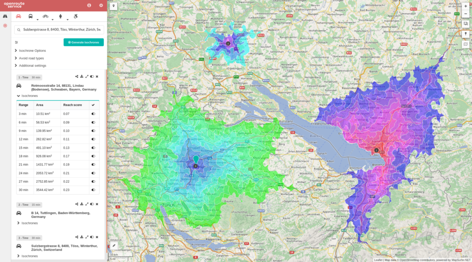
OpenRouteService API
OpenRouteService API is an application programming interface (API) that provides route planning, navigation, and geocoding services. It supports multiple transportation modes (such as walking, cycling, driving, etc.) and can be integrated into map applications to enable route calculation and navigation functionality. Through its open interface, it offers location-based services for developers, making it suitable for application development requiring route optimization or navigation features.
2025-12-29 14:05:48
GraphHopper Directions API
GraphHopper Directions API is a route planning and navigation service based on a RESTful architecture, provided by GraphHopper GmbH. It leverages OpenStreetMap data to provide global map coverage and supports route calculation for multiple modes of transportation (such as driving, cycling, walking, public transit, etc.). It integrates functionalities like real-time traffic information, route optimization, geocoding, and isochrone analysis. Developers can quickly integrate it into applications using its Java or JavaScript clients. It is suitable for scenarios like logistics and distribution, traffic navigation, and geographic information systems, combining open-source flexibility with commercial-grade performance.
2025-12-29 14:00:14
OSRM API (Open Source Routing Machine)
OSRM API (Open Source Routing Machine) is a high-performance open-source routing engine based on OpenStreetMap data, providing route calculation services through RESTful HTTP interfaces. It supports multiple travel modes such as driving, cycling, and walking, and can quickly return the shortest path results. It is widely used in navigation application development, logistics delivery planning, travel time analysis, and other scenarios. Core features include route calculation, multi-point travel time matrix generation, GPS trajectory matching, etc., utilizing the Contraction Hierarchies algorithm to achieve millisecond-level response times.
2025-12-29 13:55:31
Esri Spatial Analysis / Geometry API
ESRI Spatial Analysis is the core spatial analysis toolkit within the ArcGIS platform, supporting advanced spatial modeling techniques such as terrain modeling, location analysis, pattern recognition, and change detection. The Geometry API provides geometric object processing capabilities, including point/line/polygon operations, spatial relationship analysis, and geometric calculations, with support for standard formats such as GeoJSON and WKT. Both are integrated into ArcGIS Pro and the Python API, require specific licenses (such as a Spatial Analyst license), and it is recommended to migrate from ArcGIS Desktop to ArcGIS Pro for use.
2025-12-29 13:48:22
Behrmann Cylindrical Equal-Area Projection
The Behrmann Cylindrical Equal-Area Projection is an equal-area azimuthal projection distinguished by its ability to accurately preserve distances and directions from a central point. By projecting each point on the Earth onto a flat surface, this projection method faithfully represents geographical features and relative positional relationships, making it widely applicable in fields such as cartography and geographic information systems.
2025-12-08 16:15:50
BAG (Bathymetric Attributed Grid)
BAG (Bathymetric Attributed Grid) is an open, standardized data format used for marine surveying and seabed terrain modeling, developed and maintained by the Open Navigation Surface Working Group. It employs an HDF5 container to organize data, with core components including the bathymetric grid elevation layer (storing seabed depth values) and the uncertainty layer (recording depth measurement errors), while also supporting embedded metadata (e.g., coordinate reference systems, acquisition device parameters) and optional layers (such as sounding point density and seabed classification). The format utilizes tile-based compression technology to optimize the storage and transmission efficiency of large-scale seabed terrain data and is compatible with multi-resolution pyramid structures. It is one of the marine bathymetric data exchange standards recommended by the International Hydrographic Organization (IHO).
2025-12-05 15:19:40
CIB (Controlled Image Base)
CIB (Controlled Image Base) file format is a format used in ArcGIS for storing and managing raster data, typically employed alongside geodatabases as part of raster datasets, mosaic datasets, or raster catalogs. It defines the storage method for pixels, such as the number of rows, columns, and bands, serving as a native format for internal data exchange and management within the ArcGIS ecosystem. For more general image processing, common formats such as JPEG, PNG, and BMP may be more suitable.
2025-12-05 15:14:00
CADRG (Compressed ARC Digitized Raster Graphics)
CADRG (Compressed ARC Digitized Raster Graphics) is an abbreviation for "Compressed ARC Digitized Raster Graphics," primarily used for storing and transmitting raster images in geospatial data. It is commonly employed in military and surveying fields. This format optimizes data storage efficiency through compression technology and supports high-precision digital representation of geographic information, typically requiring professional software for import and processing. In GIS applications, CADRG format often needs to be converted to a file geodatabase raster to improve subsequent analysis efficiency.
2025-12-05 15:08:03
RPF (Raster Product Format)
RPF (Raster Product Format, U.S. Department of Defense standard) is a standardized data structure established in 1994, serving as the U.S. military's standard for geospatial databases composed of rectangular arrays of pixel values (e.g., digitized maps or images) in compressed or uncompressed forms. Its intended purpose is to manage the design of a series of digital data exchange products, including digital maps, imagery, and other geospatial data for military applications. Designed to be a versatile and adaptable format for raster products, whether compressed or uncompressed, RPF aims to enable applications to directly use data stored in computer-readable RPF formats on exchange media (e.g., CD-ROMs) without requiring further conversion or manipulation. The format is characterized by a hierarchical directory structure, including a catalog file (sometimes referred to as an A.TOC file) and one or more frame directories representing raster data frames.
2025-12-05 15:01:04