Service

Raster Data
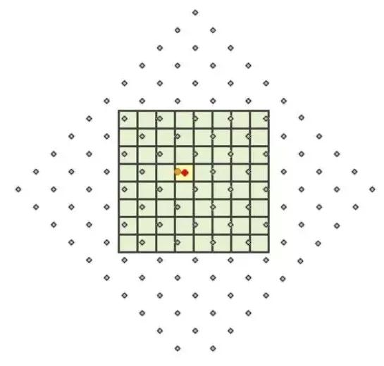
Raster data is a commonly used data format in geographic information systems (GIS). Its essence is a two-dimensional or three-dimensional data grid composed of a collection of pixels (grid cells). Each pixel (or cell) stores specific geographic information, such as terrain elevation, land use type, temperature or precipitation, expressed in the form of a numerical value. In the field of GIS, satellite images, aerial photos, digital elevation models (DEMs), etc. are usually stored and used in the form of raster data.
2025-09-16 14:47:51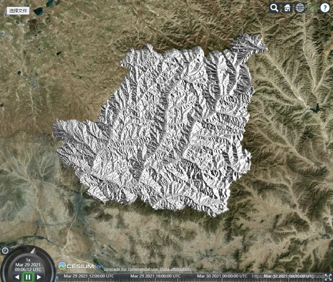
GeoTIFF (Geographic Tagged Image File Format)
**GeoTIFF **(Geographic Tagged Image File Format) is a commonly used geographic information image file format that combines image data and geographic information data and can be used to store and transmit image data with geographic location references. The GeoTIFF format supports embedding geographic information such as geographic coordinates, projection information, and ellipsoid parameters into image files, so that the image can correspond to the geographic spatial coordinate system.
2025-09-16 14:47:51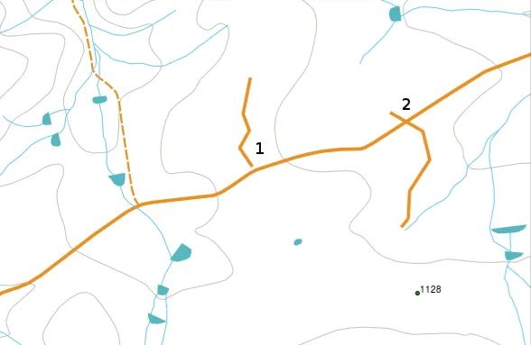
Vector Data
Vector data is data that uses x and y coordinates to represent the location and shape of map graphics or geographic entities in rectangular coordinates. Vector data generally records the coordinates to accurately represent the spatial location of geographic entities as much as possible.
2025-09-16 14:47:50
SDE (Spatial Database Engine)
SDE (Spatial Database Engine) is a software component used to manage and store geospatial data. SDE is a technology developed by Esri that is used to interact with geographic database systems and provide efficient management, query, and editing of spatial data.
2025-09-16 14:47:50
DWG (Drawing)
DWG (Drawing) files are a standard format for CAD (Computer-Aided Design) data developed by Autodesk. This format is widely used in architectural design, engineering, manufacturing and other fields, and is compatible with Autodesk’s AutoCAD and many other CAD software. DWG files contain 2D graphic data, 3D model data, layer information, dimensions, annotations, block information, etc., which can efficiently store and manage accurate design data. Since DWG is stored in binary format, the file size is small and the processing speed is fast, which is one of its main features.
2025-09-16 14:47:49
RVT (Revit Project File)
RVT files are the native file format used by Revit, a BIM (Building Information Modeling) software developed by Autodesk. The format is designed to comprehensively manage and share information on architectural, structural, MEP (mechanical, electrical, plumbing) engineering projects, and store all data in the building life cycle, including 3D models, parametric data, drawings, material information, etc. RVT files are saved in a binary format and are widely used for design change management, collaboration, and visualization. It is highly compatible with Autodesk products and has become the standard BIM file format for the construction industry.
2025-09-16 14:47:49
IMDF (Indoor Mapping Data Format)
IMDF (Indoor Map Data Format) is an indoor mapping data format developed by Apple to provide indoor navigation and location information services. IMDF is based on the GeoJSON data format and can store information such as building structure, floors, facilities, entrances and exits, passages, POIs (points of interest) in a standardized form. This format is widely used in indoor map systems and applications such as Apple Maps, and plays an important role in GIS (Geographic Information System), facility management and smart city projects.
2025-09-16 14:47:48
MID (MapInfo Data)
MID files are part of the data format used by MapInfo (Map Information), a GIS software. MapInfo is a software used to process geographic information and is widely used in commercial GIS, urban planning, geographic analysis and other fields. MID files are used in conjunction with corresponding MIF (MapInfo Interchange Format) files to store attribute information of GIS data.
2025-09-16 14:47:48
E02
E02 file is part of the ArcInfo export file (E00 format) developed by ESRI (Environmental Systems Research Institute) and is the second file to split the exported data. In the E00 format, large GIS data can be split into multiple files for storage. The first file is named E00, the second file is named E01, the third file is named E02, and so on. The E02 file itself does not contain complete GIS data and must be used in conjunction with the E00 and E01 files to form a complete data set. This format is used to circumvent file size limitations when transferring or storing data.
2025-09-16 14:47:48