Service


QGS
QGS file is one of the standard formats of QGIS (Quantum GIS) software project files. It is an XML-based text file used to save QGIS project configurations, including data sources, layer styles, map views, coordinate reference systems, and other settings. The QGS file itself does not contain geographic data, but records how to reference and render external spatial data (such as vector files, raster data, databases, etc.).
2025-09-16 14:47:42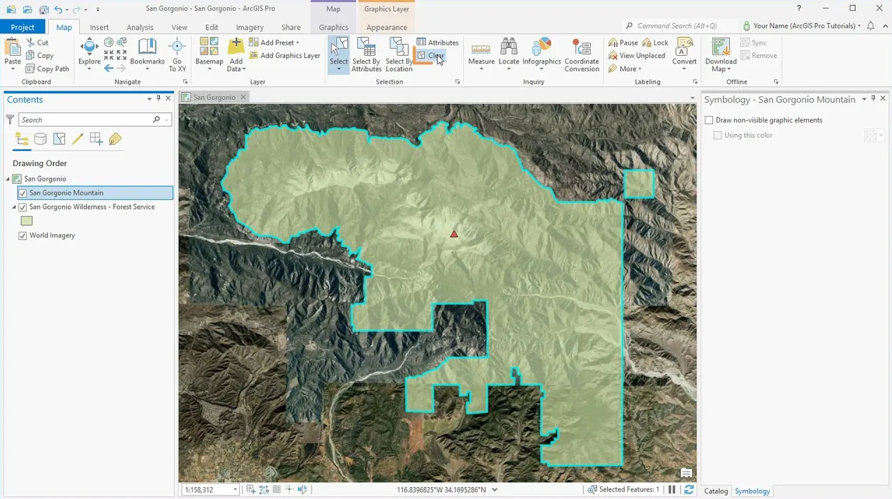
APRX (ArcGIS Project File Extension)
APRX files contain maps, toolboxes, databases, folders, and even styles. They can also contain connections to databases, servers, and folders. APRX files are the successor to MXD, which is the equivalent of a project file in Esri ArcGIS. But they differ from MXD in that a project can have multiple maps and layouts in one project.
2025-09-16 14:47:42
E00
E00 file is an export file format used by the ArcInfo software developed by ESRI (Environmental Systems Research Institute). This format is designed to be used for exchanging GIS (Geographic Information System) data between different systems and can store various GIS data such as ArcInfo Coverage and Grid Data. The E00 file is saved in text format and has different extensions (E00, E01, E02…) appended depending on the compression level. It is often used for data transfer and archiving, and is especially compatible with ESRI software.
2025-09-16 14:47:41
STYLX (Style File for ArcGIS)
STYLX (ArcGIS Style File) is a style file format used by Esri’s GIS software (such as ArcGIS Pro and ArcGIS Online). It contains style elements such as map symbols, labels, color settings, font information, fill patterns, etc., which are used to unify and manage the visual presentation of the map. STYLX files can be created and edited through the “Style Manager” of ArcGIS Pro, and can merge multiple symbols into one file to maintain the consistency of map design and facilitate sharing and reuse.
2025-09-16 14:47:41
MIF (MapInfo Interchange Format)
MIF (MapInfo Interchange Format) is a vector data format used by MapInfo software to store the geometry and attribute information of geographic features. MapInfo is a commonly used geographic information system (GIS) software, and MIF files are one of its common data exchange formats.
2025-09-16 14:47:39
NWD (Navisworks Document)
NWD (Navisworks Document) is a common file format in GIS (Geographic Information System) for storing and sharing 3D modeling data. NWD files are generated by Autodesk’s Navisworks software, which allows users to integrate 3D models, point cloud data, engineering information, etc. from multiple sources into a centralized project file.
2025-09-16 14:47:39
AVF (Advanced Vector Format)
AVF is the abbreviation of Advanced Vector Format. It is a file format used to store and transmit vector data and is widely used in GIS software and systems. AVF format stores vector data in binary form, including geographic features such as points, lines, and surfaces and their attribute information.
2025-09-16 14:47:39
MPK (Map Package)
MPK (Map Package) is a file format used to organize and transmit map data. It is a file type developed by Esri (Environmental Systems Research Institute) to package maps, layers, and related resources in a geographic information system (GIS) into a single file. MPK files store map data in a compressed form and can contain map layers, symbol styles, label settings, data sources, and other information.
2025-09-16 14:47:39