
 Service


SHX(Shapefile Index)
SHX (Shape Index) files are a file format in Geographic Information Systems (GIS), mainly used to store the location and size information of all geometric objects in Shapefile files. SHX files are part of the Shapefile file format, a popular GIS data format developed by the Environmental Systems Research Institute (ESRI) to store the geometry and attribute information of geographic locations. SHX files are usually used together with SHP files (master files storing geometry information) and DBF files (dBASE tables storing attribute data), and the three together constitute a complete Shapefile dataset.
2025-09-16 14:47:20
DBF(DataBase File)
**DBF **(DataBase File) is a file format for storing data, first introduced by the dBASE database system. It is widely used as a storage method for attribute data in GIS file formats such as Shapefile, and can record the non-spatial attribute information of each spatial element, facilitating data analysis and query.
2025-09-16 14:47:19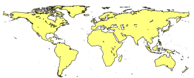
SHP(Shapefile)
SHP (Shapefile) is a commonly used GIS data format. It is a vector data format designed by ESRI (Environmental Science Research Institute) and can be used to store and edit various geographic information data, such as points, lines, and surfaces. SHP files are a binary-based format that contains the geometric information and attribute information of geographic entities.
2025-09-16 14:47:19
Google Earth Engine (GEE)
**Google Earth Engine (GEE) **is a cloud-based geospatial analysis platform provided by Google, which can use earth observation data for large-scale analysis and visualization. Its feature is that it can efficiently and quickly process large-capacity, multi-dimensional information such as remote sensing images, geospatial data, and climate data in the cloud. Users can access rich archival resources from major satellite data providers such as NASA, USGS, and ESA for free, and write scripts using programming languages (JavaScript or Python), which are widely used in many fields such as surface change analysis, climate modeling, agricultural monitoring, and forest management.
2025-09-16 14:47:18
NASA Earthdata API
NASA Earthdata API is a programmable interface provided by the National Aeronautics and Space Administration (NASA) that enables users to access earth observation data. Through this API, users can obtain remote sensing data collected by various satellites and sensors such as MODIS, Landsat, Sentinel, SMAP, ASTER, etc., covering many fields such as climate change, atmosphere, water cycle, land use, etc. The API is deeply integrated with Earthdata Search, DAAC (Distributed Active Archive Center) and other systems, enabling researchers, developers, government agencies and educational institutions to efficiently obtain and analyze data according to their own needs. By using this API, users can search, filter and download data directly in web applications or scripts, greatly improving scientific research efficiency and development flexibility.
2025-09-16 14:47:18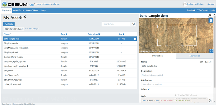
Cesium Terrain Service
Cesium Terrain Service is a server designed for Cesium.js. It is used to easily provide file system-based terrain tilesets. It supports working with CesiumTerrainProvider class of Cesium.js to render high-precision terrain data in the browser. It uses binary file structure to store terrain data. Based on Quantized Mesh technology, it reduces data storage space through compression and quantization processing, and improves loading and rendering performance. The service supports on-demand data loading, dynamically loads terrain slices of different resolutions according to user views, adapts to different levels of view requirements, and ensures efficient terrain loading.
2025-09-16 14:47:17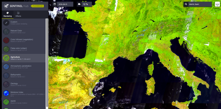
Sentinel Hub - ESA
Sentinel Hub is a cloud API platform for satellite imagery operated by the European Space Agency (ESA). It supports the Sentinel series of satellites (such as Sentinel-1, Sentinel-2, Sentinel-3, etc.), as well as other data sources such as Landsat and MODIS. The platform uses APIs to enhance access to satellite data. Users can process data of interest through its APIs and access these data in the required format to obtain analysis-ready data (ARD) without additional cleanup. Sentinel Hub provides functions such as EO Browser (interactive visualization tool) and Custom Script (JavaScript-based API, which can customize algorithms for batch processing of data), supports OGC services (such as WMS/WMTS/WCS protocols), and can be integrated into GIS software (such as QGIS).
2025-09-16 14:47:17
3D Tiles Service - Cesium 3D Tiles
3D Tiles service is a map slicing service built based on the 3D Tiles specification developed by Cesium. It is designed to efficiently visualize and distribute large-scale three-dimensional spatial data and is an important technical foundation for modern Web GIS. It is mainly used to achieve high-speed rendering and interaction in Web browsers for complex data such as BIM, CIM, point clouds, three-dimensional models, and terrain. The client can browse interactively through visualization engines such as CesiumJS, while the server is responsible for organizing and distributing data hierarchically based on the 3D Tiles format. Through spatial segmentation technology based on LOD (level of detail) and streaming transmission mechanism, the 3D Tiles service achieves lightweight and fast data loading, which is especially suitable for city-level models and point cloud data, and is widely used in smart cities, urban planning, disaster prevention, infrastructure management and other fields.
2025-09-16 14:47:17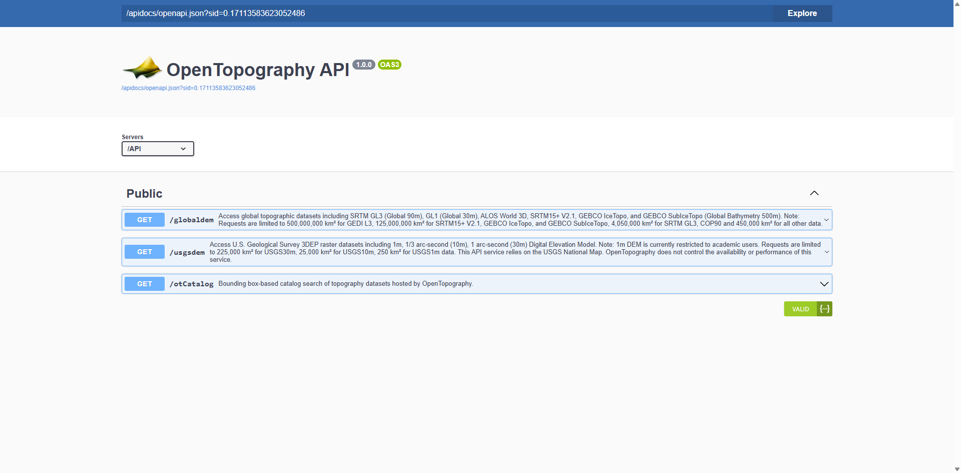
OpenTopography API
OpenTopography API is a RESTful web service interface for developers, through which developers can access global DEM (digital elevation model) datasets hosted by OpenTopography, such as Copernicus GL30, NASA DEM, SRTM, etc. The API is documented using the OpenAPI specification and can be visualized and tested through Swagger. Users need to register through the OpenTopography portal and obtain an API key to authenticate when accessing the API.
2025-09-16 14:47:17
Google Maps API
Google Maps API is a service provided by Google that integrates online maps and geospatial data. It allows map functions to be embedded in websites and mobile applications, and is a powerful developer tool that can be used to display geographic information in a visual and interactive way.
2025-09-16 14:47:16