
 Service


Bing Maps API
Bing Maps API is a map and location information service platform provided by Microsoft. It is aimed at developers and is used to integrate map display, route search, geocoding and other functions into web applications or mobile applications. It is as famous as Google Maps API and is widely used in enterprises and business systems.
2025-09-16 14:47:16
HERE Maps API
HERE Maps API is a set of map and location service APIs provided by HERE Technologies, a company headquartered in Germany. It is widely used in web applications, mobile apps and enterprise systems, and is mainly used to implement map display, route navigation, location search, geocoding, traffic information and other functions. With high-precision map data and real-time traffic information, it has been widely used in the automotive industry, logistics, smart city development and other fields.
2025-09-16 14:47:16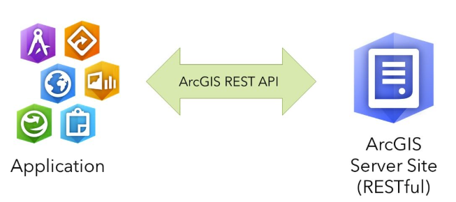
ArcGIS REST API
ArcGIS REST API is a set of interfaces designed based on the REST architectural style for accessing and using the geospatial services published by ArcGIS Server. It allows users to obtain and operate various GIS resources on the server, such as map services, feature services, geometry services, etc., through URLs. Since ArcGIS Server 9.3, ArcGIS REST API has been providing services through which clients can access GIS services published on the server. For example, users can obtain the GIS service directory through a specific URL, or perform operations such as map output and query.
2025-09-16 14:47:15
Mapbox API
Mapbox API is a development interface provided by a powerful geolocation data platform, designed to help developers implement highly customized map display, geocoding, route planning, navigation, data visualization and other functions in their applications. Mapbox provides a series of flexible development tools and APIs, supports mainstream development environments such as Web, iOS, and Android, and facilitates developers to achieve a consistent map experience on different platforms.
2025-09-16 14:47:15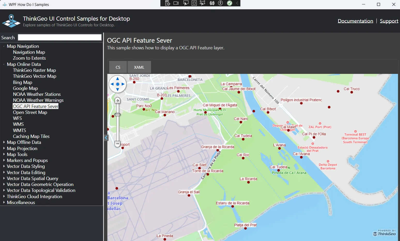
OGC API - Features
OGC API - Features is one of the next generation Web API specifications developed by the OGC (Open Geospatial Consortium), the international standardization organization for geospatial information, to standardize the access and operation of vector data (features). It is a modernized specification of the traditional WFS (Web Feature Service), and its RESTful structure and lightweight JSON-based data format make it highly compatible with the Web and cloud environments, making it very suitable for integration into mobile and Web applications.
2025-09-16 14:47:14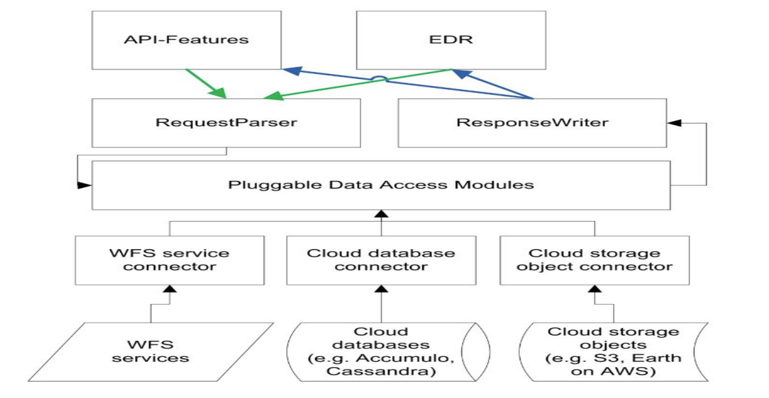
OGC API - Coverages
OGC API - Coverages is a geospatial data service specification developed by the Open Geospatial Consortium (OGC), which aims to provide a standardized interface for continuous coverage data such as raster data and spatiotemporal grids. It defines how to access, query and process coverage data through a RESTful API, supports data types such as raster data band information and raster pixels, and is widely used in remote sensing, meteorology, oceanography and other fields.
2025-09-16 14:47:14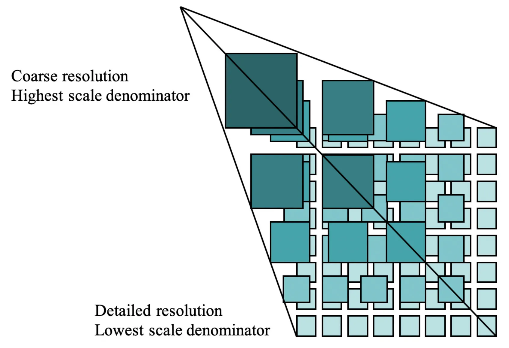
OGC API - Tiles
OGC API - Tiles (formerly known as WMTS 2.0) is a new generation of geospatial data distribution API specification developed by the Open Geospatial Consortium (OGC). It is designed to replace the traditional WMTS (Web Map Tile Service) 1.0, adopts a RESTful API architecture, and supports modern Web technologies. The specification provides a standardized method to efficiently provide map tiles, image tiles, and 3D tiles (such as 3D Tiles format) to clients based on HTTP. It is worth mentioning that it has an extensible structure and is widely used in smart cities, urban modeling, geospatial analysis platforms and other fields.
2025-09-16 14:47:14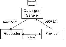
OGC API - Maps
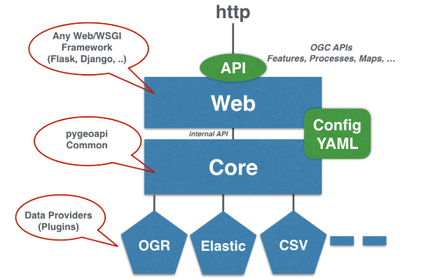
OGC API - Maps is a new generation of Web map service standards launched by the Open Geospatial Consortium (OGC). It is based on the RESTful architecture and OpenAPI specification. It aims to replace the traditional WMS (Web Map Service) protocol, provide more efficient and flexible map tiles and dynamic map rendering services, and support multi-format output (such as PNG, JPEG, GeoTIFF) and spatial data interaction.
2025-09-16 14:47:13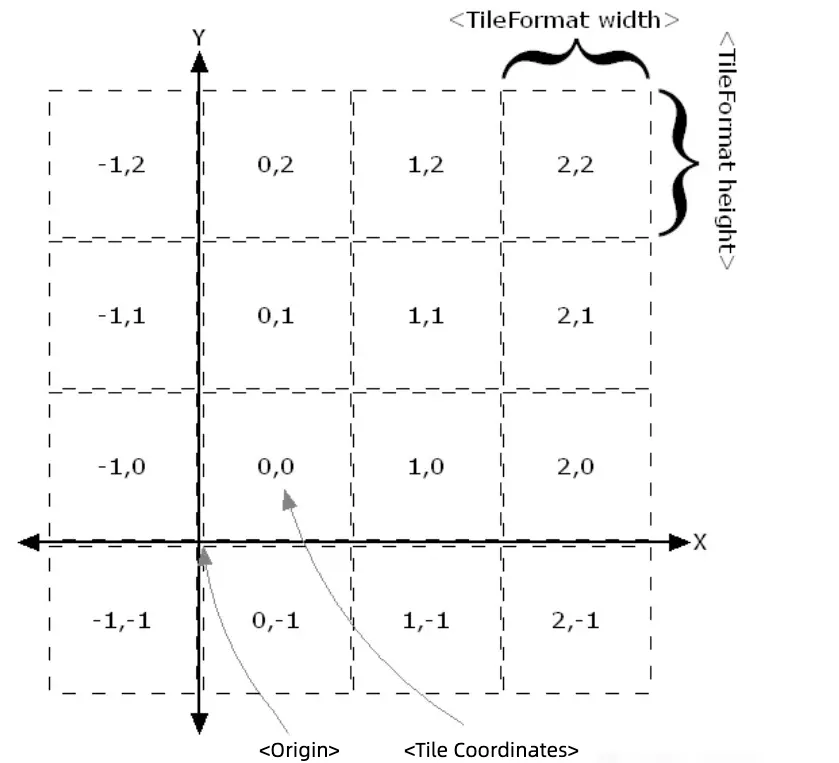
Tile Map Service (TMS)
Tile Map Service (TMS) is a network-based geographic information service protocol for efficiently loading and displaying map data. The core idea of TMS is to pre-cut map data into small tiles of fixed size (usually 256×256 pixels), and store and access them in a hierarchical (zoom level) and spatial index manner. The client dynamically requests the corresponding tiles according to the user’s view requirements, thereby achieving fast loading and smooth display. TMS usually organizes map data in the form of tile pyramids, which are gradually refined from the global view (low zoom level) to the local details (high zoom level), and the resolution of each level increases, so as to meet the multi-scale display requirements.
2025-09-16 14:47:13