 Service


JPEG (Joint Photographic Experts Group)
JPEG (Joint Photographic Experts Group) is a file format widely used for digital image compression, with the extension “.jpg” or “.jpeg”. It was developed by the Joint Photographic Experts Group established in 1986 and was officially adopted as an international standard (ISO/IEC 10918-1) in 1992. JPEG mainly uses lossy compression, which can significantly reduce the size of image files with a high compression rate. Therefore, it is widely used in digital cameras, websites, social media and other fields.
2025-09-16 14:47:58
PRJ (Projection)
**PRJ **(Projection) file is one of the common file formats in Geographic Information System (GIS), which is used to store spatial reference information and coordinate system definition. PRJ is the abbreviation of Projection, which is usually used with other geographic data files (such as vector data, raster data, etc.) to determine the geographic location and coordinate system of the data.
2025-09-16 14:47:58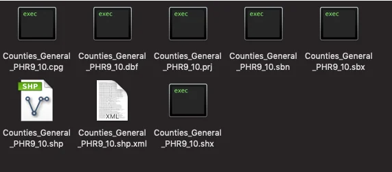
SBX (Shapefile Index)
SBX (Shapefile Index (.sbx)) is an index file used in GIS (Geographic Information System) to improve the access speed of Shapefile (vector data storage format) data. It is a common vector data format used to store geospatial data. It consists of multiple files, including .shp, .shx and .dbf files. Among them, the .shx file is the SBX file, which stores the offset and length information of each geometric object in the .shp file in binary format.
2025-09-16 14:47:58
FBX (FilmBox)
FBX (FilmBox) is a file format for 3D models, animations, and scenes. It is a universal exchange format developed by Autodesk for sharing and transferring data between different 3D software. The FBX format supports a variety of elements including geometric shapes, materials, animations, bones, etc., and can preserve the associations and hierarchical structures between these elements.
2025-09-16 14:47:59
BMP (Bitmap Image File)
BMP file (bitmap file, extension: .bmp) is a file format for storing bitmap images, developed by Microsoft. It is widely used as a standard image format in Windows environment, mainly used to process uncompressed raster images. Since BMP files store each pixel data of the image as it is, they can display high-quality and lossless images, but the file size is often large.
2025-09-16 14:48:00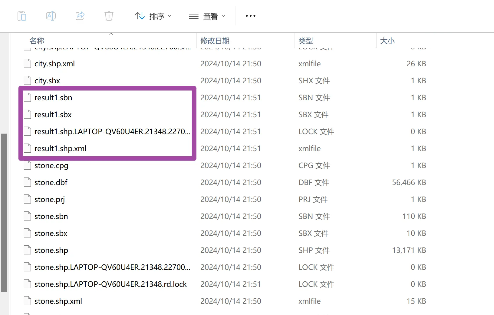

FBN (Feature Binary Node)
FBN file is a format used for visualization and management of 3D models and geospatial data, mainly suitable for the management and display of large-scale 3D scenes and city models. This format is optimized to efficiently load and render large volumes of data, and is widely used in fields such as GIS (Geographic Information System) and digital twins. FBN files can package and store model data, texture information, geographic coordinates, attribute data, etc., so that high-speed rendering can be achieved while maintaining 3D scene reproducibility and data consistency.
2025-09-16 14:48:01
MPJ (MapInfo Project File)
MPJ files are project file formats used by MapInfo Professional to manage project information related to Geographic Information Systems (GIS). The file itself does not store geographic data, but contains reference information for multiple data files and layers associated with the project. MPJ is mainly used to save project settings and configuration information, including map display status, data source path, layer structure, and style settings. Therefore, MPJ files play an important role in reproducing the visualization and editing of geographic data.
2025-09-16 14:48:02

TFW (TIFF World File)
TFW file (TIFF World File) is a text file used in GIS to store geographic reference information of TIFF format raster images. It defines the mapping relationship between pixel coordinates and geographic coordinates through affine transformation parameters. is a text file used in GIS to store geographic reference information of TIFF format raster images. It defines the mapping relationship between pixel coordinates and geographic coordinates through affine transformation parameters.
2025-09-16 14:48:02