 Service


GPF-DIME(Geospatial Product Format - Digital Image Management Environment)
GPF-DIME is a file format used to manage and store remote sensing image data and other geospatial data. It is mainly used for the storage, processing and transmission of remote sensing images. By providing a flexible and efficient data structure, this format allows users to use it to store and process images in different environments, especially when processing large-scale, high-resolution image data.
2025-09-16 14:47:26

IMG(ERDAS IMAGINE Image File)
IMG file is an image data file format developed by ERDAS IMAGINE software, designed for remote sensing image and geospatial data processing. As a flexible and widely supported raster data format, IMG is widely used in remote sensing, geographic information system (GIS), land cover analysis and other fields.
2025-09-16 14:47:27
ASC (American Standard Code for Information Interchange)
ASC (American Standard Code for Information Interchange) file format is a 3D text format developed by Autodesk for easier exchange of 3D data between various 3D modeling software. ASC files save 3D graphics (containing geometric points and shape information) in ASCII text format and can be opened in any text editor, but to view the 3D graphics, the file must be opened in 3D Studio Max, AutoCAD or other CAD software that supports the ASC format.
2025-09-16 14:47:27
TIF(Tagged Image File Format)
TIF (Tagged Image File Format, with the extension .tif or .tiff) is a flexible image file format developed by Aldus Corporation in 1986 (now owned by Adobe). TIF is widely used to process high-quality image data, especially in printing, photography, geographic information systems (GIS), and medical imaging. TIF supports a wide range of image data types, including monochrome images, grayscale images, RGB color images, and multispectral images.
2025-09-16 14:47:28
TIFF (Tagged Image File Format)
TIFF (Tagged Image File Format) is a commonly used image file format that supports multiple compression methods and color models, and can store multi-page documents, image metadata, alpha channels and other information. TIFF files are usually used in high-quality prints, publications and image processing, and can also be used to store scanned paper documents or photos. Due to its support for flexible pixel and metadata storage, TIFF format has been widely used in many industries.
2025-09-16 14:47:28
OVR(Overview File)
OVR (Overview File) is a file format used to optimize the rapid access and visualization of large-scale imagery or geographic data. It is commonly used in geographic information systems (GIS) as a pyramid file or thumbnail storage method for image data, helping users quickly load, view, and process image data at different resolutions. OVR files reduce the frequent access to original high-resolution data by pre-generating image data of different resolutions, thus significantly improving data rendering efficiency.
2025-09-16 14:47:29
RST(reStructuredText)
RST file, or reStructuredText file, is a lightweight markup language that uses simple markup syntax to write documents. It was first created and developed by David Goodger in 2002 and is mainly used for document writing and formatting. RST files usually have the extension “.rst” and use some specific symbols and structures to represent the various parts of the document, such as titles, lists, links, references, etc.
2025-09-16 14:47:29
RDC(IDRISI Raster Documentation File)
RDC (IDRISI Raster Documentation File) is a format that stores raster data as a three-dimensional data cube. Each data unit consists of spatial location, time, and attribute values. In RDC, the spatial location can be longitude and latitude, UTM coordinates, or other geographic spatial reference systems. The time can be one or more time series, which can represent data at multiple time points or time series data. The attribute value is the characteristic data of the raster cell, such as temperature, altitude, or other geographic information.
2025-09-16 14:47:29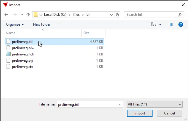
BIL (Band Interleaved by Line)
BIL (Band Interleaved by Line) is a geospatial data format commonly used to store remote sensing images and geographic information system (GIS) data. BIL is a multi-band image storage method with interleaved lines. Its core feature is to store multi-band image data alternately in the file in line order. That is, each line of data contains the pixel values of all bands, and the storage order is: the first line of band 1, the first line of band 2, …, the first line of band n, and then the second line of all bands, and so on.
2025-09-16 14:47:30