 Service


Eckert II Projection
Eckert II Projection is a pseudocylindrical equal-area map projection proposed by German cartographer Max Eckert in 1906. As the second projection in the Eckert series, it shares the same geometric framework as Eckert I—equally spaced straight meridians interrupted at the equator, a central meridian half the length of the equator, and uniformly distributed straight parallels—but introduces a critical mathematical modification to achieve equal-area property. The poles are represented as straight lines half the length of the equator, and the projection maintains zero area distortion globally, making it a rare example of a simple pseudocylindrical equal-area projection.
2026-04-03 15:44:37
Eckert I Projection
Eckert I Projection is a pseudocylindrical compromise map projection proposed by German cartographer Max Eckert in 1906. As the first of six projections in the Eckert series, it features a highly distinctive geometric structure: meridians are equally spaced straight lines that are interrupted at the equator, while the central meridian is a straight line only half the length of the projected equator. Parallels are uniformly distributed straight lines perpendicular to the central meridian, and the poles are represented as straight lines half the length of the equator. The projection is neither conformal nor equal-area, with scale correct only along the 47°10′ north and south parallels.
2026-04-03 15:27:44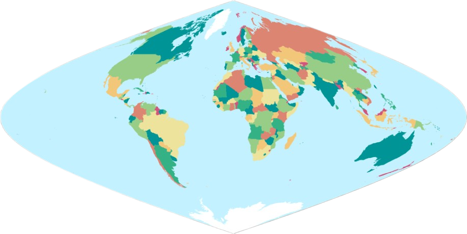
Putnins P6 Projection
Putnins P6 Projection is a pseudoconic equal-area projection proposed by Soviet geographer A. Putnins in the mid-20th century. Designed specifically for world maps, it aims to accurately preserve the area relationships between land and ocean. In this projection, the Earth’s graticule is projected onto a conical surface and then unfolded into a plane, resulting in meridians represented by straight lines radiating from a common vertex and parallels as concentric circular arcs centered at that vertex. Distortion is minimized near the standard parallels and increases with distance from them, yet area distortion remains zero throughout.
2026-03-26 18:36:15
Putnins P5 Projection
Putnins P5 Projection is a mathematical method in map projections, belonging to the pseudocylindrical projection category. It is primarily used to transform the Earth's three-dimensional surface into a two-dimensional plane in a specific manner, balancing distortions in area, shape, or angle. It is suitable for thematic mapmaking and the visualization of geographic information for specific regions.
2026-03-24 18:56:47
Putnins P4 Projection
Putnins P4 Projection is a pseudocylindrical projection that maintains approximate accuracy in area proportions to balance map distortion, making it suitable for mapping mid-scale regions. This projection compresses distortion in polar areas while generally achieving a compromise between shape and area representation, positioning it as a balanced solution among pseudocylindrical projections.
2026-03-24 18:53:20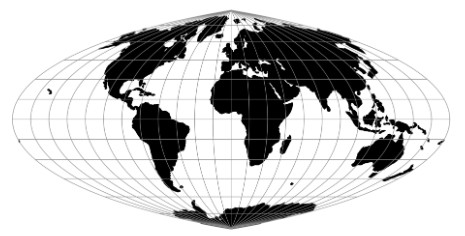
Putnins P2 Projection
Putnins P2 Projection is a pseudocylindrical equal-area map projection proposed by R. V. Putnins in 1934, primarily used for creating thematic world maps. This projection employs a specific mathematical method to transform the curved geometric features of the Earth onto a plane. It is characterized by a central meridian that is a straight line with a length half that of the equator, and parallels that are straight lines parallel to the equator, with spacing decreasing as latitude increases. There is no distortion along the central meridian or at latitudes 36°46′ N/S, but distortion gradually increases farther away from these areas.
2026-03-24 18:49:54
Kavrayskiy VI Projection
The Kavrayskiy VI Projection is a pseudocylindrical equal-area map projection. Its central meridian is a straight line with a length half that of the equator, while the other meridians are symmetrical sinusoidal curves curving toward the central meridian. The parallels are equally spaced straight lines perpendicular to the central meridian. The projection maintains true scale at latitudes 47°33′ N/S, with no distortion along these specific parallels. Although significant distortion occurs in polar regions, the overall distortion level is lower than that of most pseudocylindrical projections. Due to its equal-area property, it is suitable for statistical maps that require accurate representation of area proportions.
2026-03-24 18:43:32
Kavrayskiy V Projection
Kavrayskiy V Projection is a map projection proposed by Soviet scholar Vladimir Kavrayskiy. It belongs to the pseudocylindrical projection family and aims to balance angular and areal distortion, with minimal distortion near the standard latitudes of 47°33′ N/S. It is suitable for global map production, though some distortion remains in polar regions.
2026-03-24 18:40:20
Space Oblique Mercator (SOM) Projection
Space Oblique Mercator (SOM) Projection is a sophisticated, specialized map projection designed specifically for mapping the continuous surface coverage of Earth-observing satellites in near-polar, sun-synchronous orbits. Conceived in the 1970s by Alden P. Colvocoresses and later refined by John L. Junkins, John P. Snyder, and others, it solves a unique problem: accurately representing the curved, swath-based ground track of a satellite moving in space while the Earth rotates beneath it. Unlike traditional projections that treat the Earth as static relative to the Sun, the SOM mathematically models the dynamic relationship between the satellite's orbital path and the Earth's rotation, creating a nearly conformal map where the satellite's ground track is represented as a straight line with minimal scale distortion along the swath.
2026-02-11 13:52:04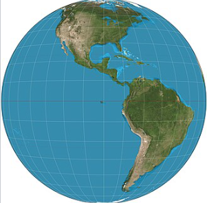
General Perspective Projection
General Perspective Projection is a family of azimuthal map projections that simulate the view of the Earth from an arbitrary point in space, creating a perspective effect akin to a photograph taken from a distant observer. Unlike orthographic or stereographic projections which assume specific viewing distances or geometric relationships, this projection allows flexible positioning of the projection point—either above the Earth's surface (for satellite or aerial views) or at an infinite distance. It is particularly valuable for visualizing planetary bodies from space missions, generating realistic global and regional views, and supporting applications in astronomy, remote sensing, and scientific visualization where naturalistic perspective is prioritized over geometric preservation.
2026-02-06 15:09:58