 Service


NC (NetCDF, Network Common Data Form)
NC (NetCDF, Network Common Data Form) is a self-describing, cross-platform scientific data format, widely used in meteorology, oceanography, earth science and other fields, for storing multidimensional array data (such as temperature, rainfall, wind speed, etc.). NetCDF is developed and maintained by Unidata and is one of the important standards in the field of scientific computing and analysis. It uses a hierarchical data model to store data in the form of variables, dimensions and attributes, making it flexible to represent complex scientific data sets while being efficient and easy to use.
2025-09-16 14:47:36
HDF (Hierarchical Data Format)
HDF (Hierarchical Data Format) is a file format used to store and manage large scientific data sets. It is a container for multidimensional arrays and complex data structures, and is widely used in science, engineering, and research. It can store many types of data, including numerical values, images, audio, text, etc. It supports hierarchical structures, allowing data sets to be stored and accessed in a multi-level organizational manner, facilitating data organization, retrieval, and analysis.
2025-09-16 14:47:37
MXD (Map Exchange Document)
MXD (Map Exchange Document) is a map document file format in Esri ArcGIS software. MXD files contain map layers, symbols, annotations, legends, and other information, as well as map view settings and map layouts. It is a binary file format used to store and share geospatial data and map designs.
2025-09-16 14:47:37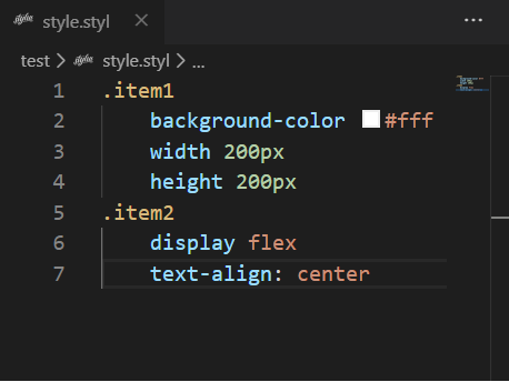
STYL
STYL files are the file format used by the Stylus preprocessor, which is a CSS preprocessor designed to improve the readability and maintainability of CSS. It uses a more concise and flexible syntax, supports indented syntax, omits symbols such as braces and semicolons, and makes style sheets clearer and easier to write. STYL files usually have a “.styl” file extension.
2025-09-16 14:47:38

E01
E01 file is a dedicated data archive file format used to store and transmit large-scale GIS data sets. It was developed by Esri to improve the performance and efficiency of GIS data. The E01 file uses a binary format and has a high compression rate, which can organize a large amount of geographic data in a single file. E01 files are usually used to store raster data, vector data, topological data, attribute data, etc. It also supports data indexing and querying to speed up data access and analysis.
2025-09-16 14:47:38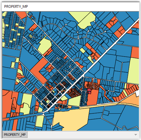
MIF (MapInfo Interchange Format)
MIF (MapInfo Interchange Format) is a vector data format used by MapInfo software to store the geometry and attribute information of geographic features. MapInfo is a commonly used geographic information system (GIS) software, and MIF files are one of its common data exchange formats.
2025-09-16 14:47:39
MPK (Map Package)
MPK (Map Package) is a file format used to organize and transmit map data. It is a file type developed by Esri (Environmental Systems Research Institute) to package maps, layers, and related resources in a geographic information system (GIS) into a single file. MPK files store map data in a compressed form and can contain map layers, symbol styles, label settings, data sources, and other information.
2025-09-16 14:47:39
AVF (Advanced Vector Format)
AVF is the abbreviation of Advanced Vector Format. It is a file format used to store and transmit vector data and is widely used in GIS software and systems. AVF format stores vector data in binary form, including geographic features such as points, lines, and surfaces and their attribute information.
2025-09-16 14:47:39
NWD (Navisworks Document)
NWD (Navisworks Document) is a common file format in GIS (Geographic Information System) for storing and sharing 3D modeling data. NWD files are generated by Autodesk’s Navisworks software, which allows users to integrate 3D models, point cloud data, engineering information, etc. from multiple sources into a centralized project file.
2025-09-16 14:47:39