 Service


SXD (ArcGIS Desktop Symbology Extension)
In GIS, SXD refers to the ArcGIS Desktop archive file format. SXD files are a file format that stores symbol styles and rendering settings used in ArcGIS Desktop. They contain map element styles, colors, symbols, labels, and other display attribute information, and are used to quickly apply the same style settings to other map layers and projects. SXD files allow map styles to be easily shared and reused, improving efficiency and consistency in cartography.
2025-09-16 14:47:46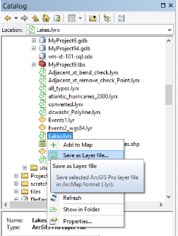
LYR (Layer File)
LYR files are a special file format used in Esri ArcGIS software to save layer-related information, usually with a .lyr extension. It does not directly store geographic data, but records information such as the layer’s style, rendering rules, data source path, and display configuration. The main function of LYR files is to associate complex map symbolization, display settings, and data, so that users can quickly apply consistent layer styles in different projects or scenes. In ArcGIS Pro, the function of LYR files is further expanded to LYRX files (ArcGIS Pro layer files), which are compatible with more modern GIS data formats and functions.
2025-09-16 14:47:46
LYRX (ArcGIS Pro Layer File)
LYRX files are project file formats used in ArcGIS Pro software. They are the core files of ArcGIS Pro projects, which store project configuration information, map layers, toolboxes, layouts, styles, and other related resources. Through LYRX files, users can save and share the entire GIS project, including map, data, analysis, and geoprocessing tool settings.
2025-09-16 14:47:47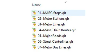
E02
E02 file is part of the ArcInfo export file (E00 format) developed by ESRI (Environmental Systems Research Institute) and is the second file to split the exported data. In the E00 format, large GIS data can be split into multiple files for storage. The first file is named E00, the second file is named E01, the third file is named E02, and so on. The E02 file itself does not contain complete GIS data and must be used in conjunction with the E00 and E01 files to form a complete data set. This format is used to circumvent file size limitations when transferring or storing data.
2025-09-16 14:47:48
MID (MapInfo Data)
MID files are part of the data format used by MapInfo (Map Information), a GIS software. MapInfo is a software used to process geographic information and is widely used in commercial GIS, urban planning, geographic analysis and other fields. MID files are used in conjunction with corresponding MIF (MapInfo Interchange Format) files to store attribute information of GIS data.
2025-09-16 14:47:48
IMDF (Indoor Mapping Data Format)
IMDF (Indoor Map Data Format) is an indoor mapping data format developed by Apple to provide indoor navigation and location information services. IMDF is based on the GeoJSON data format and can store information such as building structure, floors, facilities, entrances and exits, passages, POIs (points of interest) in a standardized form. This format is widely used in indoor map systems and applications such as Apple Maps, and plays an important role in GIS (Geographic Information System), facility management and smart city projects.
2025-09-16 14:47:48
RVT (Revit Project File)
RVT files are the native file format used by Revit, a BIM (Building Information Modeling) software developed by Autodesk. The format is designed to comprehensively manage and share information on architectural, structural, MEP (mechanical, electrical, plumbing) engineering projects, and store all data in the building life cycle, including 3D models, parametric data, drawings, material information, etc. RVT files are saved in a binary format and are widely used for design change management, collaboration, and visualization. It is highly compatible with Autodesk products and has become the standard BIM file format for the construction industry.
2025-09-16 14:47:49
DWG (Drawing)
DWG (Drawing) files are a standard format for CAD (Computer-Aided Design) data developed by Autodesk. This format is widely used in architectural design, engineering, manufacturing and other fields, and is compatible with Autodesk’s AutoCAD and many other CAD software. DWG files contain 2D graphic data, 3D model data, layer information, dimensions, annotations, block information, etc., which can efficiently store and manage accurate design data. Since DWG is stored in binary format, the file size is small and the processing speed is fast, which is one of its main features.
2025-09-16 14:47:49
SDE (Spatial Database Engine)
SDE (Spatial Database Engine) is a software component used to manage and store geospatial data. SDE is a technology developed by Esri that is used to interact with geographic database systems and provide efficient management, query, and editing of spatial data.
2025-09-16 14:47:50