 Service

MDB(Microsoft Access Database)
In GIS, MDB refers to the extension of Microsoft Access Database files, which are used to store geospatial data and attribute data. MDB files are a common GIS data format that can contain geographic information such as vector data, raster data, attribute tables, and relationships. By using MDB files, GIS software can read and process geospatial data to perform operations such as map making, spatial analysis, and data query.
2025-09-16 14:47:34
GDB(File Geodatabase)
GDB file refers to the storage format of File Geodatabase, which is developed by Esri and used in its ArcGIS platform. It is one of the common spatial data management formats in the current Geographic Information System (GIS). File Geodatabase provides an efficient way to store, manage and query various spatial data. Unlike traditional single file storage, GDB file is a folder structure containing multiple files, which can store vector data, raster data and non-spatial table data.
2025-09-16 14:47:34
SID(MrSID, Multi-Resolution Seamless Image Database)
SID (MrSID, Multi-Resolution Seamless Image Database) is a raster data format specially designed for the storage and distribution of geospatial images, developed by LizardTech in the United States. It is well-known for its efficient image compression technology and is widely used in industries that need to store and transmit large-scale image data, such as geographic information systems (GIS), remote sensing, and mapping.
2025-09-16 14:47:33
SDW(Shapefile World File)
SDW files (Shapefile World File) are one of the subsidiary files of Shapefile files, which are used to store the projection and coordinate system information of Shapefile. Shapefile is a commonly used Geographic Information System (GIS) data format for storing geospatial data and attribute data. SDW files are usually used together with Shapefile’s SHP files and other related files such as DBF and PRJ files.
2025-09-16 14:47:33
JP2(JPEG 2000)
JP2 is the file extension of JPEG 2000, which indicates an image file compressed using the JPEG 2000 compression algorithm. JPEG 2000 is an improvement and extension of the traditional JPEG image compression algorithm, which uses a compression technology based on wavelet transform. This format plays an important role in digital image processing, providing an efficient and reliable way to store and transmit image data.
2025-09-16 14:47:32
ECW(Enhanced Compression Wavelet)
**ECW **(Enhanced Compression Wavelet) is an image compression format designed to efficiently compress and store large-scale raster image data, especially for remote sensing images and map data. The ECW format compresses image data using wavelet transform technology to reduce the volume of data while maintaining image quality as much as possible. The ECW file format was developed by Earth Resource Mapping (now Hexagon Geospatial) and is widely used in geographic information systems (GIS) and remote sensing fields.
2025-09-16 14:47:32
PIX(PCI Geomatics Database File)
PIX (PCI Geomatics Database File) is a file format used to store and process image and raster data. The PIX format is often used to process remote sensing data, such as satellite images, digital elevation models, and meteorological data. It is a binary format that can store multi-channel, multi-resolution data, supports image compression, and can store metadata and geospatial information.
2025-09-16 14:47:31
BSQ(Band Sequential)
BSQ (Band Sequential) is a file format for storing multi-band raster data, which is widely used in remote sensing, geographic information system (GIS), image processing and other fields. BSQ is a format that stores data in band order. The data of each band is arranged in a linear manner, and the storage structure is simple and efficient.
2025-09-16 14:47:31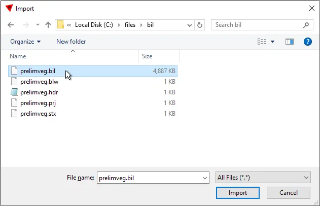
BIL (Band Interleaved by Line)
BIL (Band Interleaved by Line) is a geospatial data format commonly used to store remote sensing images and geographic information system (GIS) data. BIL is a multi-band image storage method with interleaved lines. Its core feature is to store multi-band image data alternately in the file in line order. That is, each line of data contains the pixel values of all bands, and the storage order is: the first line of band 1, the first line of band 2, …, the first line of band n, and then the second line of all bands, and so on.
2025-09-16 14:47:30
BIP(Band Interleaved by Pixel)
BIP (Band Interleaved by Pixel) is a raster data storage format. It stores all bands for each pixel together in order, which means that all band values for a pixel are stored adjacently, instead of storing all pixel values of the first band together, then the second band, and so on. In this format, each pixel value in the raster data is stored in consecutive bytes, rather than in band or sample order as in the BIL or BSQ format. Therefore, in the BIP format, the distance between pixels is minimized, so it is more efficient when reading and writing data.
2025-09-16 14:47:30