
 Service


LYRX (ArcGIS Pro Layer File)
LYRX files are project file formats used in ArcGIS Pro software. They are the core files of ArcGIS Pro projects, which store project configuration information, map layers, toolboxes, layouts, styles, and other related resources. Through LYRX files, users can save and share the entire GIS project, including map, data, analysis, and geoprocessing tool settings.
2025-09-16 14:47:47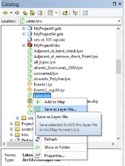
LYR (Layer File)
LYR files are a special file format used in Esri ArcGIS software to save layer-related information, usually with a .lyr extension. It does not directly store geographic data, but records information such as the layer’s style, rendering rules, data source path, and display configuration. The main function of LYR files is to associate complex map symbolization, display settings, and data, so that users can quickly apply consistent layer styles in different projects or scenes. In ArcGIS Pro, the function of LYR files is further expanded to LYRX files (ArcGIS Pro layer files), which are compatible with more modern GIS data formats and functions.
2025-09-16 14:47:46
SXD (ArcGIS Desktop Symbology Extension)
In GIS, SXD refers to the ArcGIS Desktop archive file format. SXD files are a file format that stores symbol styles and rendering settings used in ArcGIS Desktop. They contain map element styles, colors, symbols, labels, and other display attribute information, and are used to quickly apply the same style settings to other map layers and projects. SXD files allow map styles to be easily shared and reused, improving efficiency and consistency in cartography.
2025-09-16 14:47:46
3DD (ArcGlobe 3D Data)
3DD file format is a file format designed for 3D geographic information systems (3D GIS) to store 3D scene data. 3DD files are usually generated by GIS software (such as Esri’s ArcGIS Pro) and are a special format that integrates 3D geographic spatial information, model data, and related metadata. It can effectively support 3D visualization, spatial analysis, and scene management, and is an important tool for 3D GIS and virtual reality (VR) applications. The core advantage of 3DD files lies in their efficient organization and management of 3D geographic data, which is suitable for complex urban modeling, environmental simulation, and spatial analysis scenarios.
2025-09-16 14:47:45
MWS (MapWindow Session)
MWS (MapWindow Session) is a session file format used by MapWindow GIS software. MWS files contain information about geospatial data, layer settings, symbolization, and map views. It allows users to save and load GIS projects to restore the state and configuration of maps in different work sessions. MWS files can contain vector data, raster data, styles, and symbol settings, providing GIS users with a convenient way to manage and share geospatial information.
2025-09-16 14:47:44
MXT (Map Exchange Template)
MXT (Map Exchange Template) file is a file format used in Esri ArcGIS software to store map display and configuration information, including layers, symbol styles, label settings, etc. It saves the appearance and layout of the map and can contain multiple layers and related map elements.
2025-09-16 14:47:44
WOR (World File)
WOR files are file formats used to store workspaces in MapInfo Professional geographic information system (GIS) software, and their extension is .wor. They do not store geographic data directly, but record map hierarchy, style setting information, and data source paths, which are used to quickly reproduce map layouts and analysis views in specific GIS projects.
2025-09-16 14:47:44
QGZ (Quantum GIS Zipped Project)
QGZ files are compressed file formats used to save projects in QGIS (Quantum GIS) software. QGIS is an open source geographic information system (GIS) software that is widely used for visualization, editing, and analysis of spatial data. The QGZ format essentially compresses the configuration files (.qgs files in XML format) of the QGIS project into a single file for easy storage and transmission. Unlike QGS files, the QGZ format has better storage management capabilities and is particularly suitable for handling complex projects.
2025-09-16 14:47:43
QGS
QGS file is one of the standard formats of QGIS (Quantum GIS) software project files. It is an XML-based text file used to save QGIS project configurations, including data sources, layer styles, map views, coordinate reference systems, and other settings. The QGS file itself does not contain geographic data, but records how to reference and render external spatial data (such as vector files, raster data, databases, etc.).
2025-09-16 14:47:42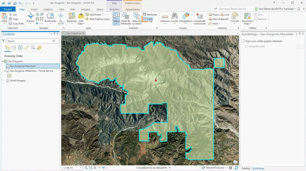
APRX (ArcGIS Project File Extension)
APRX files contain maps, toolboxes, databases, folders, and even styles. They can also contain connections to databases, servers, and folders. APRX files are the successor to MXD, which is the equivalent of a project file in Esri ArcGIS. But they differ from MXD in that a project can have multiple maps and layouts in one project.
2025-09-16 14:47:42