SHP(Shapefile)
GISBox is a one-stop 3D GIS data editing, conversion and publishing platform that supports editing in multiple GIS formats such as OSGB/GEOTIFF/RVT, converting to 3DTiles/Terrain and publishing.
Introduction
SHP (Shapefile) is a commonly used GIS data format. It is a vector data format designed by ESRI (Environmental Science Research Institute) and can be used to store and edit various geographic information data, such as points, lines, and surfaces. SHP files are a binary-based format that contains the geometric information and attribute information of geographic entities.

Data Format Overview
Shapefile refers to a file storage method. In fact, this file format is composed of multiple files. Among them, to form a Shapefile, three files are indispensable, namely “.shp”, “.shx” and “.dbf” files.
**1. shp file: **It is the core file of Shapefile, containing all spatial feature information, storing geometric information such as the location of points and the boundaries of polygons.
**2. shx file: **It is the index file of .shp file, which can quickly locate specific records in .shp file.
3. dbf file: It uses dBASE format to store attribute information related to each feature in .shp file.
Pros
**1. Strong compatibility: **Shapefile is widely supported in various GIS software and tools, ensuring that data can be seamlessly transferred between different platforms.
**2. Simple and intuitive: **Shapefile has a simple structure, which is easy to understand and use, and is particularly suitable for storing vector data.
Cons
**1. Data size limit: **The size of each Shapefile file cannot exceed 2GB, which is one of its biggest limitations.
**2. Limited attribute field length: **The field length in the attribute table is usually limited, which may affect the ability to store complex data.
**3. No support for topological structure: **Shapefile cannot directly store topological information (i.e. the spatial relationship between geometric objects), and other tools are needed to supplement it.
Application Scenario
Shapefile is widely used in geographic information system (GIS), mainly used to store and manage geographic spatial data and its attribute information, suitable for representing points, lines and polygons. Its application scenarios include map making, spatial analysis, geographic data sharing and exchange, etc., and are widely used in urban planning, environmental monitoring, traffic management and other fields. In addition, Shapefile is often used in GIS application development due to its strong compatibility, supporting a variety of geographic data processing and visualization tasks.
Example
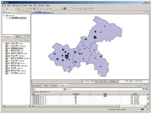
- Example of a land area SHP file.
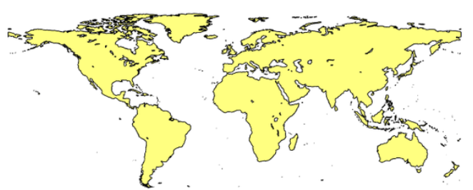
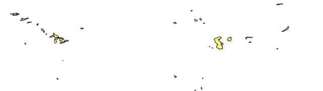
- Example map of SHP files for lakes around the world.
File Opening Mode
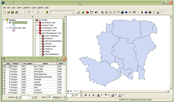
- Using ArcGIS.
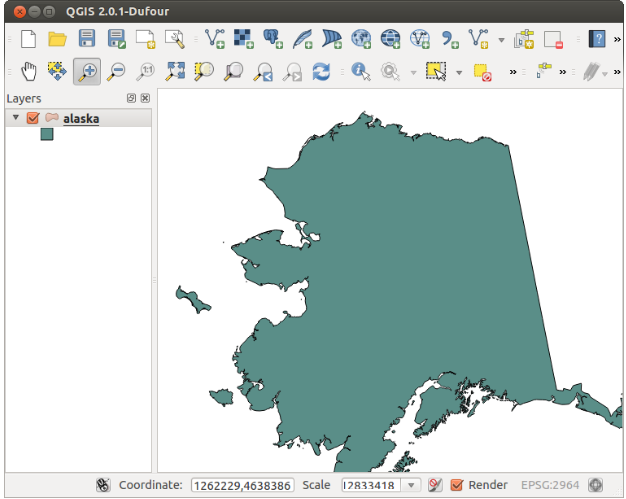
- Using QGIS.
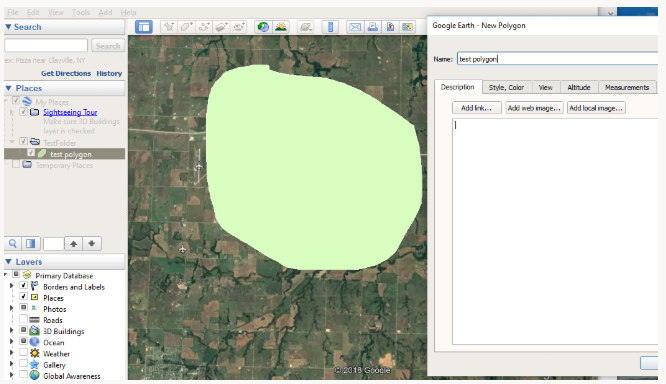
- Using Google Earth.
- Using FreeGIS software: FreeGIS software such as GvSIG, Grass GIS, uDig, etc. can also be used to open “.shp” files.