DBF(DataBase File)
GISBox is a one-stop 3D GIS data editing, conversion and publishing platform that supports editing in multiple GIS formats such as OSGB/GEOTIFF/RVT, converting to 3DTiles/Terrain and publishing.
Introduction
**DBF **(DataBase File) is a file format for storing data, first introduced by the dBASE database system. It is widely used as a storage method for attribute data in GIS file formats such as Shapefile, and can record the non-spatial attribute information of each spatial element, facilitating data analysis and query.
Data Format Overview
The structure of a DBF file mainly consists of two parts: the file header and the data record. The file header stores the basic information of the DBF file, including the version number of the file, the date the file was created, the number of records, the length of the header, and the length of each record. This information is essential for correctly parsing the contents of the DBF file.
The data record part is the main part of the DBF file, which stores all the data in the table. Each data record is organized into a series of fields, and each field stores a specific type of data. The field type can be text, number, date, or logical value, etc.
Pros
**1. Simple structure: **DBF files use tabular storage, with clear data organization, easy to parse and operate.
**2. Strong compatibility: **Widely supported by many database systems and GIS software, such as ArcGIS, QGIS, etc.
3. Efficient query: The file structure is suitable for fast query of small and medium-sized data sets, and can easily implement field filtering and query.
Cons
**1. Field limitation: **character fields can contain up to 255 characters, and numeric fields have limited precision, which may not be suitable for processing complex data.
2. Lack of modern database functions: lack of indexing, constraints, transaction processing and other functions, and cannot replace modern relational database systems.
3. Inconvenient data maintenance: when the amount of data is large, file maintenance and management become more cumbersome, and it is difficult to achieve efficient data update and security management
Application Scenario
DBF files are mainly used in GIS, statistical analysis, enterprise management, business analysis and other scenarios. For example, in GIS systems, DBF files are often used together with Shapefiles to store attribute data (such as population density, land type) for each geographic feature on the map. This structure allows users to easily query, filter and visualize based on attribute information when analyzing spatial data, so it has been widely used in applications such as geographic information processing, environmental analysis and commercial site selection.
Example
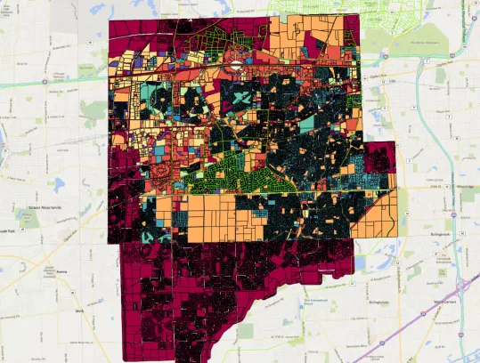
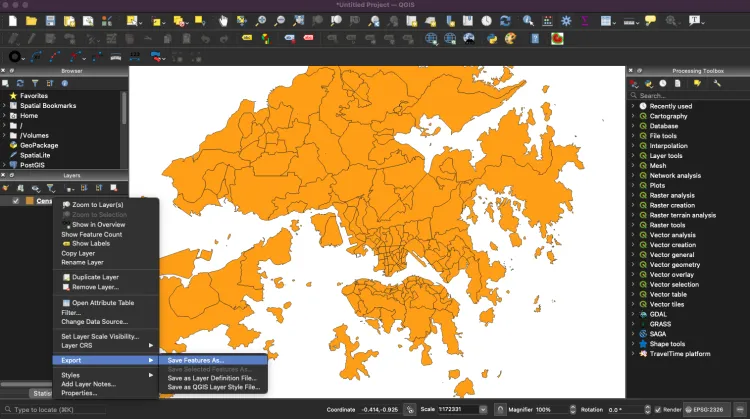
- Example of a city area DBF file.
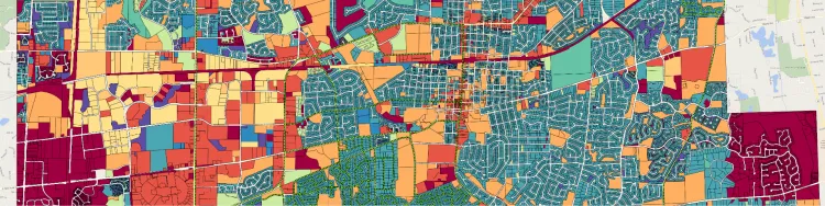
- Example of a city area DBF file.
File Opening Mode
DBF file (Database File) is a tabular file format, usually used to store attribute information associated with geospatial data, and can be opened using software such as QGIS and ArcGIS.
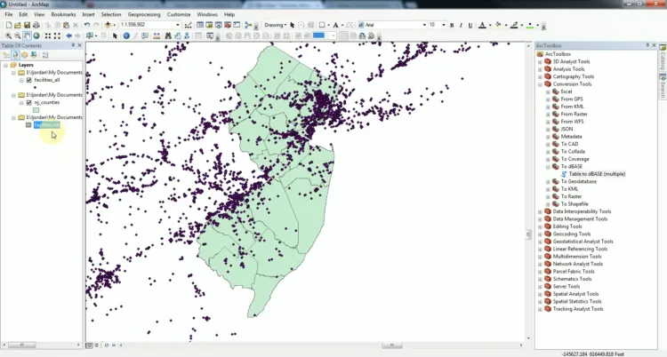
1. QGIS: QGIS is an open source GIS software that can not only open Shapefile files (including .shp and .dbf), but also view and edit attribute data in DBF files. QGIS can be used to associate DBF files with geospatial data for spatial analysis.
2. ArcGIS: As a commercial GIS software, ArcGIS can also load and process DBF files, usually used together with Shapefile or other spatial data formats. ArcMap or ArcGIS Pro can directly display DBF file data in the attribute table.