
Bentley
GISBox is a one-stop 3D GIS data editing, conversion and publishing platform that supports editing in multiple GIS formats such as OSGB/GEOTIFF/RVT, converting to 3DTiles/Terrain and publishing.
Introduction
Bentley Systems is a world-leading infrastructure engineering software company. Its GIS solutions are centered on the deep integration of “BIM+GIS” and provide full life cycle management tools for smart cities, transportation, energy, water conservancy and other fields. Bentley GIS product matrix includes MicroStation (3D modeling engine), ProjectWise (collaborative work platform), ContextCapture (real scene modeling), OpenRoads/OpenRail (transportation infrastructure design), etc. Its core technologies cover the construction of 2D and 3D integrated data models, real-time collaborative updates in the cloud, integrated processing of multi-source data (CAD/BIM/GIS/remote sensing), spatial analysis decision support, and full life cycle data management system.

Data Format
Bentley’s data formats mainly include the following, which are widely used in the field of infrastructure engineering:
- DGN format:
- **Definition: **DGN is a file format defined by Bentley, mainly used to meet the data storage needs of MicroStation. Since 2000, the new version of DGN files supports the storage of BIM data.
- Application: DGN format plays an important role in many large-scale projects such as construction, highways, bridges, factory design, shipbuilding, etc.
- Other common formats supported:
- DWG/DXF: AutoCAD’s graphic file format, Bentley software natively supports DWG files, and CAD files can be directly opened, modified and saved with MicroStation.
- IFC: International standard format in the BIM field, used for data exchange and sharing between different software. Bentley provides a rich API to realize the import and export of IFC data.
- LandXML: XML format used for civil engineering projects, mainly used in terrain and road design.
- 3DPDF: Portable document format, supporting the viewing and sharing of 3D models.
- GIS formats: such as Shapefile, GeoJSON, etc., used for the exchange of geographic information system data.
- FBX, OBJ: Universal 3D model formats, Bentley software supports the import and export of these formats, facilitating the interaction of models between different software.
- Export format and plug-in support:
- Bentley software supports exporting models to multiple formats, such as gltf/glb, 3Dtiles, s3mb (supported by SuperMap), slpk (supported by ArcGIS), etc., to enable loading on web and mobile terminals.
- For certain specific formats (such as IFC), Bentley may provide export plug-ins or achieve data exchange through secondary development.
Pros
- Comprehensive and powerful functions:Covers the full-cycle needs of multiple industries such as architecture, engineering, and infrastructure, and supports civil engineering, mechanical design and other fields. Provides precise drawing, 3D modeling and parametric design tools to meet high-precision modeling needs.
- Collaborative work and file management:Unified work management platform (such as ProjectWise) supports team collaboration, and file permission management ensures data security. Supports multiple file formats (such as DWG, STL, FBX), with strong compatibility and convenient data exchange.
- Real-life modeling and digital twin technology:Through modules such as ContextCapture, photos and point cloud data can be used to generate 3D models, supporting the full life cycle management of infrastructure. Digital twin platforms (such as iTwin) synchronize virtual and real assets and optimize operation and maintenance efficiency.
- High performance and lightweight:The real-time storage mechanism based on the MicroStation core reduces memory usage and improves computing speed. The link function supports model lightweighting and reduces duplication of work.
Cons
- High learning cost:The functional modules are complex and logical, and it takes a long time to master them. The user interface is not well integrated, and the differences in operation between different software may increase the difficulty of learning.
- Parametric functions need to be improved:Compared with software such as Catia, there is a gap in component parametric design capabilities, and the efficiency of building complex models is low.
- Insufficient localization and integration:The data format is very different from the domestic CAD platform, and localization adaptation is difficult. The compatibility of some acquired software is limited, and model format conversion is required.
- User interface and operation experience:The interface design is complex, and the operation of some functional modules is cumbersome, which may affect the user experience.
Application Scenario
Bentley GIS solutions are widely used in 3D modeling and underground pipe network management in smart city planning, BIM+GIS collaborative design of transportation infrastructure, digital management of oil and gas pipelines and smart grid planning in the energy industry, comprehensive watershed management and flood inundation analysis of water conservancy projects, and facility health monitoring and maintenance optimization in the asset operation and maintenance stage. Through the deep integration of spatial information and engineering data, it provides full-process technical support for various fields.
Example
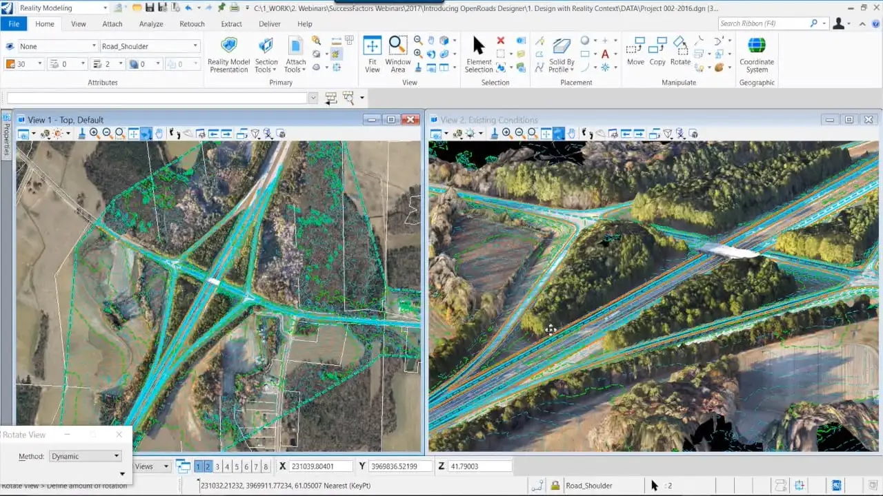
- Bentley software interface.
- Open the file in the Bentley software.
