
 Service

_1762328853812.png)
Berghaus Star AAG
Berghaus Star Projection is a unique map projection that divides the entire surface of a globe into a star shape. It was invented in the 19th century by German geographer Hermann Berghaus and has been used primarily for decorative or educational purposes due to its beauty and unique composition. The variation used by the American Association of Geographers (AAG) in particular is known as an iconic design in geography.
2025-11-05 15:47:03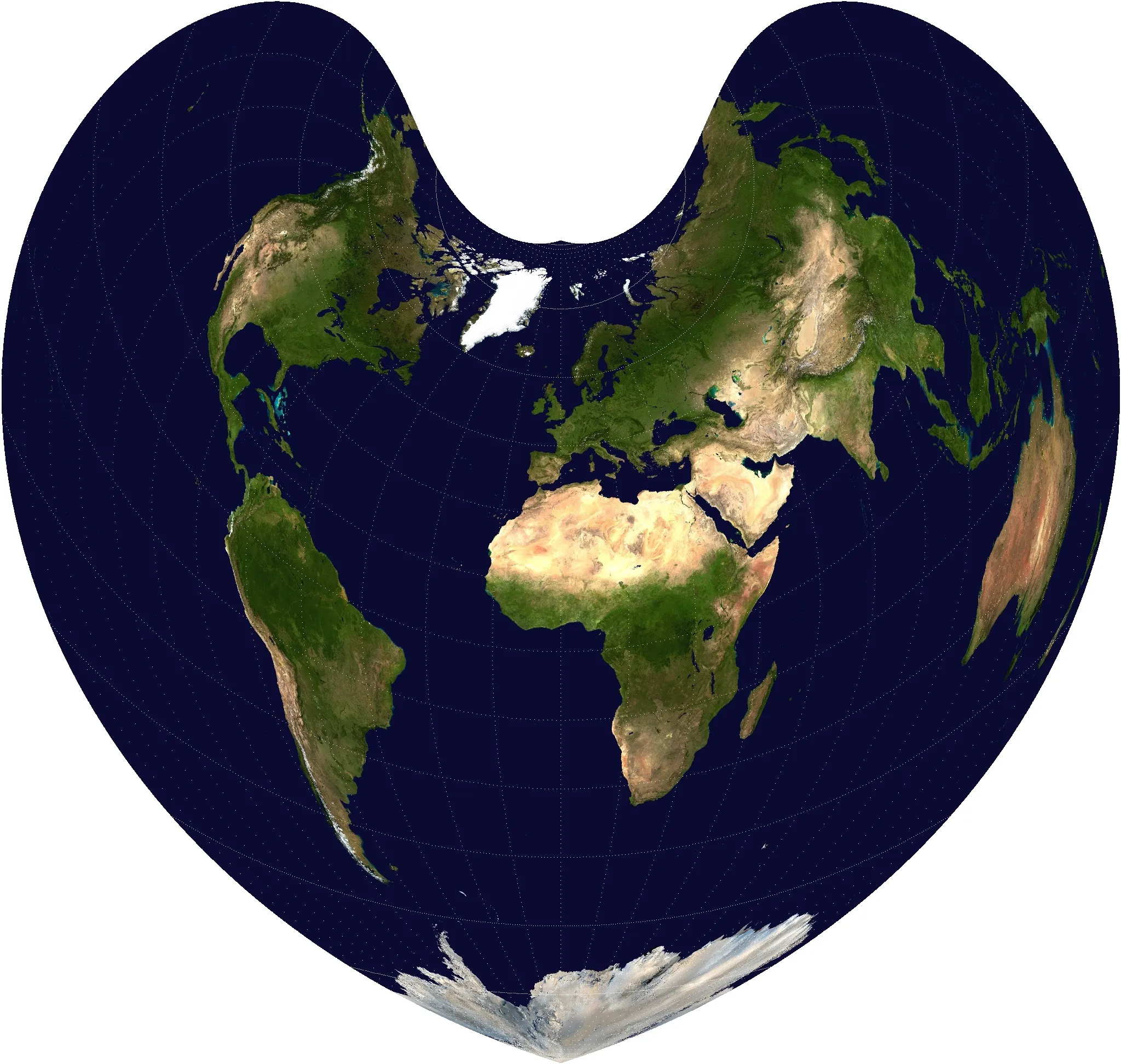
Bonne Projection
Bonne Projection is a type of pseudo-conic projection in which all parallels are represented as concentric circular arcs, and meridians are drawn radiating from a central parallel. It was once widely used in the fields of geography and surveying because it minimizes distortion of area and shape at specific reference parallels (standard parallels). A distinctive feature of this projection is that the resulting map appears as a large heart, and it has historically been used for producing maps of countries and continents, particularly those of Europe.
2025-11-05 15:46:05
Cassini Projection
Cassini Projection is a type of equilateral transverse Mercator projection devised by the Italian astronomer Jacques Cassini in the 18th century, and is intended to accurately represent areas along the central meridian. It is suitable for mapping elongated areas oriented north-south because it causes little distortion of shape and distance on and around the central meridian. However, distortion of shape and area increases the further away from the central meridian. Historically, it was used for many land surveys and military maps in the 19th century.
2025-11-05 15:44:00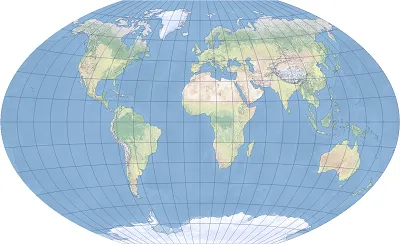
Winkel Tripel Projection
Winkel Tripel Projection is a map projection developed with the goal of projecting geographic information as balanced as possible on a map. It was invented by German geographer Oswald Winkel in 1921 and is a combination of the Equirectangular Projection and the Aitoff Projection. The name "Tripel" comes from the fact that distortions of latitude and longitude, area, and distance are kept to a "triple" level. It is used in many countries' atlases and educational materials to achieve a balanced appearance when displaying world maps.
2025-11-05 15:43:10_1762328482382.png)
Cube Projection
Cube projection is a method of dividing the spherical surface of the Earth into six squares (each face of a cube), unfolding each square, and projecting it onto a flat surface. It is primarily used in 3D graphics, virtual reality (VR), spherical panoramas, and some GIS (geographic information systems), and is known as a method for efficiently mapping spherical data to 2D. Also known as a cube map, it has the advantage of being able to represent a three-dimensional environment.
2025-11-05 15:38:25_1762328202398.png)
Equidistant Conic Projection
Equidistant conic projection is a type of conic projection that projects the Earth onto a conical surface and displays it as a map. It is characterized by keeping the intervals between meridians and parallels constant. In particular, it is designed to minimize distortion of distance along one or two parallels called standard parallels. In this projection, meridians are drawn as straight lines radiating from the apex of the cone, and parallels are drawn as concentric circular arcs. It is often used for creating maps on a national or continental scale, as it can display large areas on Earth (mainly in the east-west direction) relatively accurately.
2025-11-05 15:35:47_1762327884081.png)
Eckert Projection
Eckert projection is a general term for map projections invented by the German geographer Max Eckert in the early 20th century. He developed six projections (Eckert I to Eckert VI) with different characteristics, each of which represents the Earth's surface from a different perspective. These projections are mainly classified as pseudocylindrical projections, and Eckert IV and VI in particular are widely used in education and geographical materials due to their area accuracy (equal area) and good visual balance.
2025-11-05 15:30:28_1762327683829.png)
Gnomonic Projection
Gnomonic projection is a method in which a straight line is drawn from the center of the Earth to any point on the Earth's surface, and projected to the point where it intersects with a plane tangent to the Earth. This is a type of perspective projection (central projection), and has the characteristic that "great circle routes (shortest routes)" on the Earth are represented as straight lines after projection. For this reason, it is very useful when you want to show the shortest distance with a straight line.
2025-11-05 15:25:56_1762327491402.png)
Orthographic Projection
Orthographic projection is a map projection method that depicts the Earth as if seen from an infinite distance. It is used to maintain a certain degree of accuracy while maintaining a sense of depth when projecting a spherical surface onto a flat surface. It can reproduce the appearance of a part of the Earth as seen from space, allowing for realistic and beautiful map representations. This projection projects the Earth's surface onto a flat surface through a straight line drawn vertically from the center of the Earth, so it places more importance on a natural appearance and intuitive understanding than on the accuracy of distance and area.
2025-11-05 15:23:40_1762327362104.png)
Azimuthal Equidistant Projection
Azimuthal equidistant projection is a map projection that is drawn to accurately maintain direction and distance from a single point (reference point) on the Earth. Its greatest feature is that the straight-line distance and azimuth angle from the center point to all other points are accurately represented on the map. It is often used in applications where accuracy of direction and distance is important, such as air navigation and communications.
2025-11-05 15:21:19