 Service


SketchUp
SketchUp is a 3D modeling software developed by Trimble, with the core concept of “making 3D modeling as natural as sketching with a pencil”. It significantly lowers the threshold of 3D design through a minimalist interface and intuitive push-pull modeling tools (such as drawing lines to create surfaces and extruding to create bodies), and is suitable for quickly building solution prototypes in the fields of architecture, interior design, and landscape. Its unique advantage lies in the balance between professionalism and ease of use. 80% of users can master basic operations within 3 hours.
2025-09-16 14:48:19
PDS Design Review
PDS (Plant Design System) Design Review is a solution for performing design reviews using 3D models, primarily in plant design and large facility construction projects. It visually verifies design components such as piping, equipment, and structures through interactive 3D visualization, enabling interference checks and early detection of design errors.
2025-09-16 14:48:18
MicroStation
MicroStation is a high-performance CAD (Computer Aided Design) software developed by Bentley Systems in the United States. It is widely used for design, modeling, and drawing creation in the fields of infrastructure, civil engineering, architecture, energy, and transportation, and supports both 2D and 3D drawing and visualization. MicroStation has a strong track record, especially in government agencies and large-scale infrastructure development projects, and is well-known as a professional tool with precision design and high compatibility.
2025-09-16 14:48:17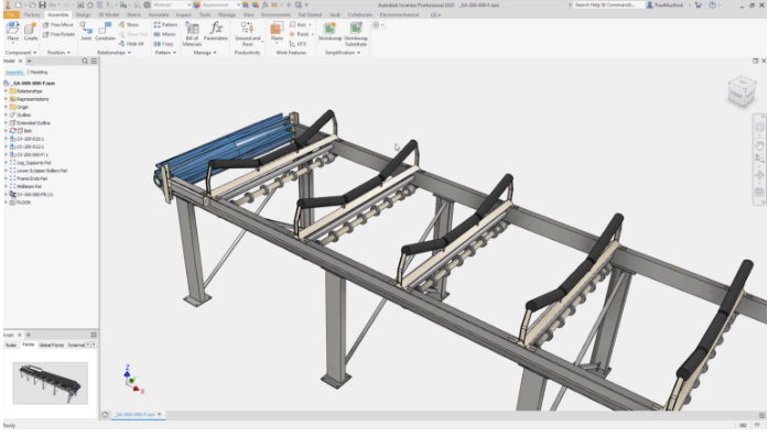
Inventor
Autodesk Inventor is a 3D mechanical CAD (Computer-Aided Design) software developed and provided by Autodesk, and is mainly used in the fields of manufacturing and machine design. It is equipped with a wide range of functions such as assembly design, drawing creation, simulation, piping and cable design, sheet metal modeling, and welding design, centered on parametric modeling, and can digitize and streamline a series of processes from the design of complex machine parts to prototyping and manufacturing. Along with SolidWorks, it is one of the professional 3D CAD software widely used around the world.
2025-09-16 14:48:17
Parasolid
Parasolid is a core technology of Siemens for accurate geometric modeling that is widely used in the fields of 3D computer-aided design (CAD), computer-aided engineering (CAE) and computer-aided manufacturing (CAM). It also plays an important role in GIS (Geographic Information System) processing of complex spatial data scenes involving high-precision 3D terrain, building models, etc. It stores and exchanges accurate geometric information of 3D models in a neutral file format, providing strong support for data interaction between different software.
2025-09-16 14:48:16
IGES (Initial Graphics Exchange Specification)
**IGES (Initial Graphics Exchange Specification) **is an intermediate file format for exchanging geometric data such as drawings and 3D models between CAD (Computer-Aided Design) systems. It was established by the American National Standards Institute (ANSI) in 1980 with the aim of ensuring compatibility between different CAD software. It has been widely used as a standard format for sharing and reusing design data of parts and structures between vendors, especially in the manufacturing and mechanical design industries.
2025-09-16 14:48:16

JTOpen
JTOpen is not a GIS software in the traditional sense. It is a set of open source class libraries for interacting with IBM i (formerly OS/400) systems in the Java language environment. However, it can play an important role in GIS application scenarios involving the association of geospatial data with IBM i systems.
2025-09-16 14:48:15

IFC (Industry Foundation Classes)
IFC (Industry Foundation Classes) is an open BIM (Building Information Modeling) file format widely used in the construction industry. The IFC format was developed by buildingSMART, an international building standards organization, to promote data sharing and collaboration between different software tools in the construction industry. It is an open standard for describing all relevant data and information in construction and building engineering projects, such as buildings, equipment, structures, materials, etc. This allows information in the building design, engineering and construction process to flow seamlessly between different software.
2025-09-16 14:48:15