RVT (Revit Project File)
RVT files are the native file format used by Revit, a BIM (Building Information Modeling) software developed by Autodesk. The format is designed to comprehensively manage and share information on architectural, structural, MEP (mechanical, electrical, plumbing) engineering projects, and store all data in the building life cycle, including 3D models, parametric data, drawings, material information, etc. RVT files are saved in a binary format and are widely used for design change management, collaboration, and visualization. It is highly compatible with Autodesk products and has become the standard BIM file format for the construction industry.
2025-09-16 14:47:49PRJ (Projection)
**PRJ **(Projection) file is one of the common file formats in Geographic Information System (GIS), which is used to store spatial reference information and coordinate system definition. PRJ is the abbreviation of Projection, which is usually used with other geographic data files (such as vector data, raster data, etc.) to determine the geographic location and coordinate system of the data.
2025-09-16 14:47:58OSGB36 (Ordnance Survey Great Britain 1936 | EPSG:4277)
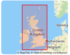
OSGB36 is the UK national coordinate system, the full name is Ordnance Survey Great Britain 1936, and its EPSG code is 4277. This coordinate system is based on the Airy 1830 ellipsoid and was developed by the Ordnance Survey of the United Kingdom. It is the national datum for topographic surveying in the United Kingdom. In the fields of geographic information systems (GIS), cartography, and engineering surveying in the United Kingdom, OSGB36 has been widely used, providing a unified reference framework for geospatial data in the United Kingdom, allowing geographic data from different sources to be integrated and analyzed in the same coordinate system.
2025-09-16 14:47:10MapGIS
MapGIS is a domestic geographic information system (GIS) platform developed by China’s Zondy Cyber Group. The platform was born in the 1980s and has become one of the most widely used GIS software in China. MapGIS provides a variety of product lines such as desktop GIS, server GIS, Web GIS, and cloud GIS, which can realize the collection, management, analysis, visualization and sharing of spatial data.
2025-09-16 14:47:55GPKG(GeoPackage)
GeoPackage (GPKG) is an open standard geospatial data storage format launched by OGC (Open Geospatial Consortium). It is based on SQLite database files and can efficiently store and manage vector data, raster data, and other spatial related information. GPKG files are designed to solve the problems of fragmentation and poor compatibility of traditional GIS file formats, and support offline data storage and cross-platform data sharing through a unified format. Compared with traditional GIS files (such as Shapefile or GeoTIFF), GPKG files have greater flexibility and scalability and are considered to be an ideal choice for modern geographic information applications.
2025-09-16 14:47:35PDS Design Review
PDS (Plant Design System) Design Review is a solution for performing design reviews using 3D models, primarily in plant design and large facility construction projects. It visually verifies design components such as piping, equipment, and structures through interactive 3D visualization, enabling interference checks and early detection of design errors.
2025-09-16 14:48:18BIL (Band Interleaved by Line)
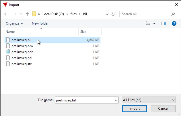
BIL (Band Interleaved by Line) is a geospatial data format commonly used to store remote sensing images and geographic information system (GIS) data. BIL is a multi-band image storage method with interleaved lines. Its core feature is to store multi-band image data alternately in the file in line order. That is, each line of data contains the pixel values of all bands, and the storage order is: the first line of band 1, the first line of band 2, …, the first line of band n, and then the second line of all bands, and so on.
2025-09-16 14:47:30MXT (Map Exchange Template)
MXT (Map Exchange Template) file is a file format used in Esri ArcGIS software to store map display and configuration information, including layers, symbol styles, label settings, etc. It saves the appearance and layout of the map and can contain multiple layers and related map elements.
2025-09-16 14:47:44Sinusoidal Projection
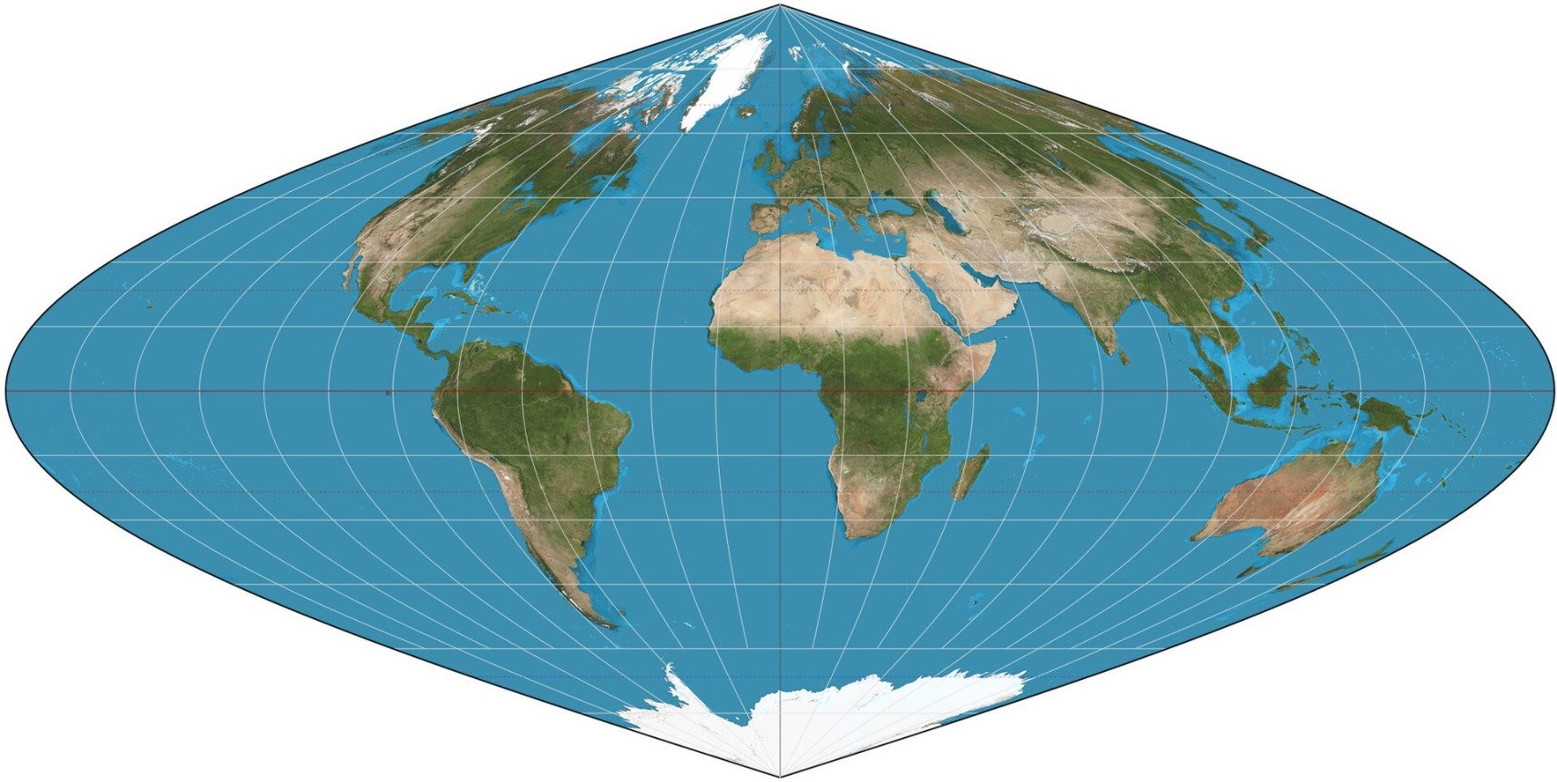
Sinusoidal projection is a pseudo-cylindrical equal-area projection created by French cartographer Samson in 1650. It is also called the Samson projection or the Samson-Flamsteed projection. Its core features are that the latitudes are equidistant parallel straight lines, the meridians are sinusoidal curves symmetrical to the central meridian, the central meridian is a straight line with a length ratio of 1, and the equator is a non-deformed line, which can effectively maintain the accurate area ratio. After projection, the length of the equator is twice that of the central meridian, the poles are projected as points and form protruding edges, and the graticule is symmetrically distributed along the equator and the central meridian.
2025-09-16 14:47:03
 Service


