 Service


RPF (Raster Product Format)
RPF (Raster Product Format, U.S. Department of Defense standard) is a standardized data structure established in 1994, serving as the U.S. military's standard for geospatial databases composed of rectangular arrays of pixel values (e.g., digitized maps or images) in compressed or uncompressed forms. Its intended purpose is to manage the design of a series of digital data exchange products, including digital maps, imagery, and other geospatial data for military applications. Designed to be a versatile and adaptable format for raster products, whether compressed or uncompressed, RPF aims to enable applications to directly use data stored in computer-readable RPF formats on exchange media (e.g., CD-ROMs) without requiring further conversion or manipulation. The format is characterized by a hierarchical directory structure, including a catalog file (sometimes referred to as an A.TOC file) and one or more frame directories representing raster data frames.
2025-12-05 15:01:04
ADF (ArcInfo Binary Grid Format)
ADF (ArcInfo Binary Grid Format) is a proprietary raster data format developed by Esri. It is used for storing and managing raster data, which can contain various types of geospatial information such as elevation data, land cover types, vegetation indices, etc. The ADF format can store raster layers with different resolutions and data types, making it significant in GIS applications.
2025-12-03 17:19:59
GeoJSONB (Binary GeoJSON)
GeoJSONB is a binary format used in PostgreSQL databases for storing GeoJSON data. It enables the database to handle geospatial data in a more compact and efficient manner. This format is supported by the PostGIS extension for PostgreSQL, which is a specialized geospatial database extension designed to enhance PostgreSQL's capabilities in managing location-based information.
2025-11-24 15:07:35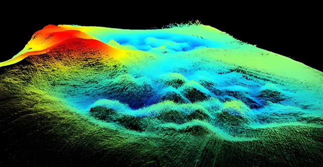
LAS/LAZ (LiDAR Point Cloud Format)
LAS/LAZ (LiDAR Point Cloud Format) files are standard formats for storing 3D point cloud data acquired through LiDAR technology, established by the American Society for Photogrammetry and Remote Sensing (ASPRS). The LAS format uses a binary structure to store attributes such as 3D coordinates (X, Y, Z), intensity, return number, and classification for each point. LAZ is a compressed version of LAS that significantly reduces file size while maintaining data integrity.
2025-11-24 14:57:18
3D Tiles (Cesium Standard)
3D Tiles (Cesium Standard), as an open standard, defines methods for streaming transmission and visualization of large-scale 3D geospatial data on the web. Proposed and open-sourced by the Cesium team, it has now become an OGC (Open Geospatial Consortium) Candidate Standard and is widely used in digital cities, smart campuses, geological exploration, and other fields. Its core design employs a Hierarchical Level of Detail (HLOD) structure, which uses spatial partitioning algorithms to divide 3D models into multi-resolution tiles. This supports dynamic data loading based on the view frustum range, effectively addressing issues in traditional 3D models such as excessive memory usage and rendering lag in browsers.
2025-11-24 14:49:58
DGN (MicroStation Native Format)
DGN (MicroStation Native Format) is a CAD file format developed based on Microsoft's OLE2 file structure, primarily used in 3D, BIM, and GIS industries. Developed by Bentley Systems, this CAD format is designed for recording and exchanging design data, offering a comprehensive data model and multi-layer drafting capabilities while supporting operation across multiple platforms.
2025-11-24 14:39:21
NTF (Ordnance Survey National Transfer Format)
Ordnance Survey National Transfer Format (NTF) is a spatial data exchange format developed by the Ordnance Survey (OS) of Great Britain. It is primarily used for the transfer and sharing of cadastral and topographic data. Based on the ISO 8211 standard and employing a binary encoding scheme, it facilitates efficient two-way transfer of national surveying and mapping data between local and central government systems. Its design incorporates three layers—physical file structure, logical model, and application protocol—ensuring the preservation of topological relationships and coordinate system compatibility during data conversion.
2025-11-24 14:30:27_1762322965999.png)

3D Studio
3D Studio Max is a PC-based 3D modeling, rendering and animation software developed by Discreet. It was originally named 3D Studio and later released as 3D Studio Max on the Windows NT platform. The software provides a wealth of functions, including modeling, animation, rendering, and collaboration with other software. The latest version is 2024, supports multiple operating systems, and has multi-language capabilities.
2025-11-05 14:07:47_1762322863288.png)
GeoPDF (Geospatial PDF)
GeoPDF embeds geographic spatial information (such as latitude and longitude coordinates and coordinate reference systems) in standard PDF files, enabling ordinary PDF readers (such as Adobe Reader) to support geographic location viewing, map navigation, and basic geographic analysis functions, combining the portability of PDF with the data analysis capabilities of GIS.
2025-11-05 14:07:10