
 Service

_1762325889900.png)
ETRS89-LAEA (EPSG:3035)
ETRS89-LAEA is a geographic coordinate system formed by combining the European Terrestrial Reference System (ETRS89) with the Lambert Azimuthal Equal Area Projection (LAEA), which is mainly used for spatial data unification within the European Union. It takes the center of the earth as the origin and uses an equal area projection to keep the area unchanged, making it suitable for large-scale statistical analysis and environmental monitoring. This coordinate system is promoted by the European Organization for Surveying and Mapping (EUROSTAT) and is one of the standardized projections recommended by the INSPIRE directive.
2025-11-05 14:57:26_1762325433379.png)
Lambert Conformal Conic (EPSG:Multi-region code)
Lambert Conformal Conic is a conformal conic projection coordinate system proposed by German mathematician Lambert. It projects the earth's surface onto a cone surface, keeping the angle unchanged but with length deformation. It is often used for mapping in mid-latitude areas. The coordinate system is divided into two forms: the positive axis (symmetric along the standard parallel) and the oblique axis, which is suitable for map applications with moderate regional scope.
2025-11-05 14:50:01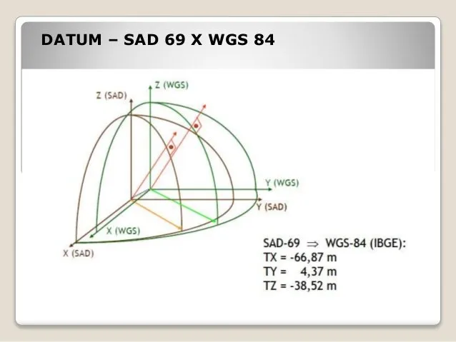
SAD69 (South American Datum 1969 | EPSG:4618)
SAD69 coordinate system is the abbreviation of South American Datum 1969, which is a geodetic reference system widely used in South America. It is based on the Krasovsky ellipsoid and established through the astronomical geodetic network data of Brazil, Argentina and other countries. It is mainly used for topographic mapping and geographic information applications in South American countries. This coordinate system has local deformation due to regional gravity field differences and is gradually being replaced by more accurate modern datums such as SIRGAS2000.
2025-11-05 14:49:04_1762325319739.png)
Korea 2000 (EPSG:4737)
Korea 2000 coordinate system is the national plane coordinate system adopted by Korea in 2002. It is based on ITRF97 framework and GRS80 ellipsoid and adopts transverse Mercator projection (central meridian 127°E). It replaced the old Tokyo coordinate system and is compatible with global satellite positioning systems (such as GPS). It has higher accuracy and is widely used in Korea's land surveying and engineering construction.
2025-11-05 14:48:07_1762325275914.png)
DGN95 (Datum Geodesi Nasional 1995 | EPSG:4755)
DGN95 (Datum Geodesi Nasional 1995) is a geographic coordinate reference system officially adopted by the Indonesian government in 1995 and is used as the surveying and geographic information infrastructure throughout Indonesia. Its EPSG code is designated as 4755 and was designed to suit Indonesia's geographic characteristics and geodetic requirements. DGN95 is based on the international geodetic standard ITRF1992 (International Terrestrial Reference Frame 1992) and is the national standard to ensure uniformity in surveying and highly accurate location information.
2025-11-05 14:47:17_1762325218130.png)
NZGD2000 (New Zealand Geodetic Datum 2000 | EPSG:4167)
NZGD2000 (New Zealand Geodetic Datum 2000) is the New Zealand 2000 geodetic datum, which is the current national geodetic coordinate system of New Zealand. It is used to define the reference framework of the country's geospatial data and plays an important role in surveying and mapping, geographic information, engineering and other fields.
2025-11-05 14:46:27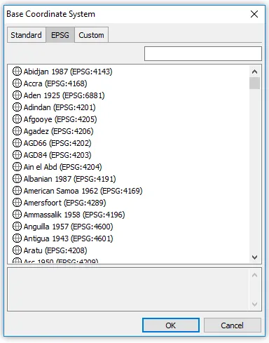
Amersfoort (EPSG:4289)
**Amersfoort (EPSG:4289) **is a widely used geographic coordinate system in the Netherlands, using Bessel 1841 as the base ellipsoid, with the geodetic base point at Amersfoort. This coordinate system has long played an important role in land surveying, mapping, and infrastructure development in the Netherlands. EPSG:4289 uses geographic coordinates (latitude and longitude), making it suitable for expressing wide-area location information on the Earth’s surface.
2025-09-16 14:47:11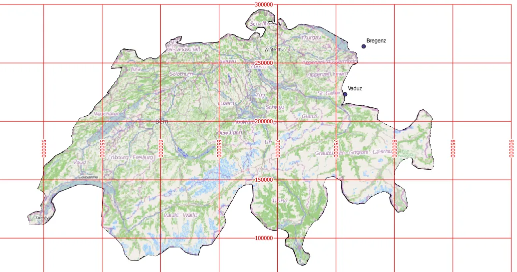
CH1903 (Swiss Coordinate System 1903 | EPSG:4149)
CH1903 is the widely used national coordinate system of Switzerland, based on the geodetic datum established in 1903. It is a projection coordinate system covering the whole of Switzerland, developed to enable precise geospatial information management and mapping of a country with mountainous terrain. The reference ellipsoid used is Bessel 1841, and the projection method is the Oblique Mercator Projection. This coordinate system has long been used by the Swiss National Cartographic Office (Swisstopo) and has become a standard in many fields such as topographic mapping, surveying, civil engineering and infrastructure planning. In recent years, Switzerland has gradually transitioned to the higher-precision CH1903+ (EPSG:2056) coordinate system, but a large amount of historical data is still stored based on CH1903.
2025-09-16 14:47:11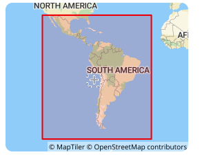
SIRGAS 2000 (South American Datum | EPSG:4674)
**SIRGAS 2000 **is a geocentric reference frame for Central and South America, which aims to define and implement a unified reference frame for Central and South America that is consistent with ITRF. Its ellipsoid adopts GRS 1980, with a major semi-axis of 6378137 meters, an oblateness of 298.257222101, the Greenwich meridian as the prime meridian, and the angle unit is degree. SIRGAS 2000 was established in 2000, consistent with the ITRF2000 framework, with a reference epoch of 2000.0. It is a regional encryption of ITRS in South America, achieved through a network of about 200 continuously operating stations (SIRGAS-CON) throughout Latin America and the Caribbean.
2025-09-16 14:47:10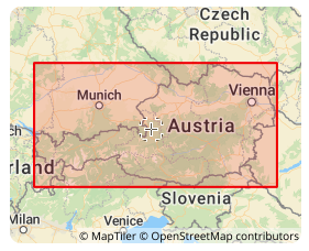
MGI (Militar-Geographische Institut | EPSG:4312)
MGI coordinate system was established by the Austrian Military Geographical Institute. It is a local coordinate system based on the Bessel ellipsoid and is mainly used for geographic information representation and spatial positioning in Austria. It uses the Transverse Mercator projection, with the central meridian at 13°20′ east longitude, the latitude of the projection origin at 0°, the easting offset of 1,500,000 meters, and the northing offset of 0 meters. It is a variant of the Gauss-Krüger projection and is widely used in Austria in many fields such as topographic mapping, land management, urban planning, and transportation planning, providing an accurate spatial reference frame for these fields.
2025-09-16 14:47:10