 Service

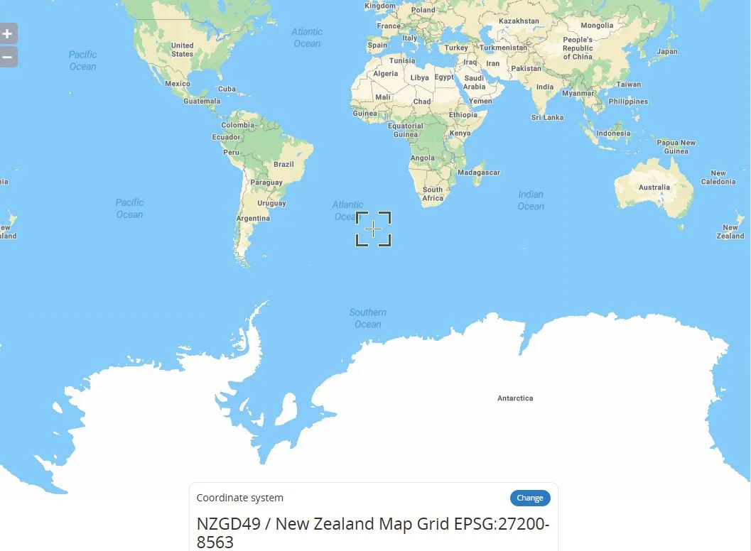
NZMG (New Zealand Map Grid – EPSG:27200)
New Zealand Map Grid (NZMG) coordinate system is a projected coordinate system used in New Zealand. Based on the Transverse Mercator projection, it is primarily used for mapping and georeferencing within New Zealand. It projects the Earth's surface onto a flat surface, centered on the South and North Islands of New Zealand. It uses specific central meridians and scale parameters to minimize projection distortion. This coordinate system is widely used in surveying, engineering, and land management in New Zealand. Coordinates are typically expressed in meters, with an origin near the South Island.
2025-11-05 15:11:00
Belgian Lambert 72 (EPSG:31370)
Belgian Lambert 72 is a regional geodetic coordinate system based on the Lambert Conformal Conic Projection used in Belgium. It is based on the Belgian geodetic datum established in 1972. This projection transforms the Earth's spheroid onto a flat surface and is suitable for mapping and geographic information system (GIS) applications in Belgium and the surrounding area. Its EPSG code is 31370. Unlike geocentric systems (e.g., WGS-84), this system is classified as a "local datum" because the center of the ellipsoid does not coincide with the Earth's center of mass.
2025-11-05 15:09:48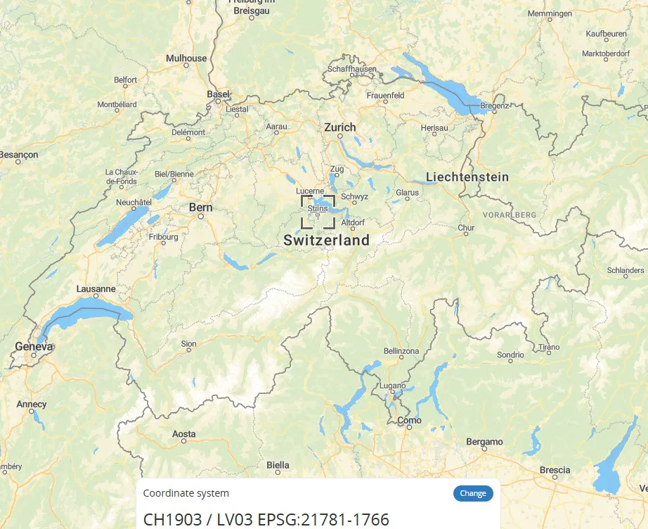
CH1903 / LV03 (Old Swiss National Coordinate System – EPSG:21781)
CH1903/LV03 is the national Cartesian coordinate system used by Switzerland. It uses the former Bern Observatory as its reference point (mandatory definition: 600,000 meters east longitude, 200,000 meters north latitude) and uses metric units to simplify positioning calculations. This coordinate system is based on the CH1903 geodetic datum. Its improved version, CH1903+, relocates the reference point to the Zimmerwald Observatory, but the coordinate error between the two is kept within 3 meters, making it suitable for mapping services throughout Switzerland. Unlike globally accepted geographic coordinate systems such as WGS84, CH1903 is a projected coordinate system that uses Cartesian (X, Y) coordinates to enable precise measurement of local areas.
2025-11-05 15:08:15
TM35FIN (Finnish Transverse Mercator coordinate system – EPSG:3067)
TM35FIN is a two-dimensional rectangular coordinate system widely used in Finland. An extension of ETRS89/UTM 35N, it adopts the Transverse Mercator projection with a central meridian of 27°E. TM35FIN is measured in meters and covers the entire territory of Finland and the surrounding sea areas. Designed for engineering surveying and topographic mapping, it offers high accuracy and regional adaptability.
2025-11-05 15:07:16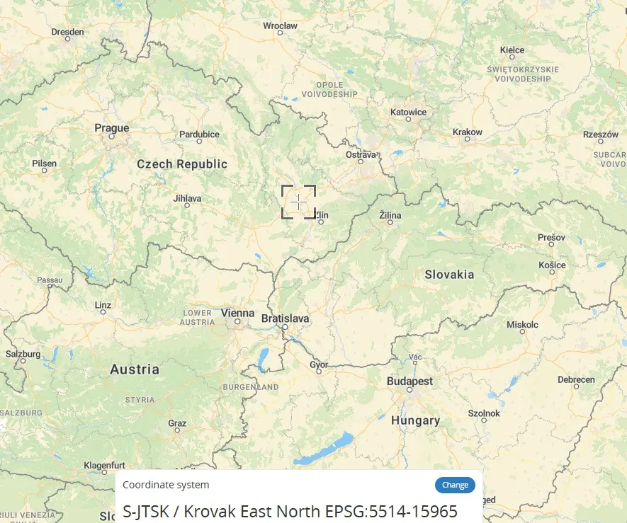
S-JTSK / Krovak East North - SJTSK - EPSG:5514
S-JTSK / Krovak is the local coordinate system used by the Czech Republic. Its core is based on the Krovak projection, a variant of the oblique conformal conic projection. By adjusting the central meridian and standard parallels, this coordinate system optimizes cartographic accuracy in Central Europe (such as the Czech Republic and Slovakia), effectively controlling angular and areal distortions. It is particularly suitable for large-scale topographic mapping. The relationship between S-JTSK and Krovak is that the former directly uses the latter as its mathematical foundation, forming a unified national planar coordinate system.
2025-11-05 15:06:32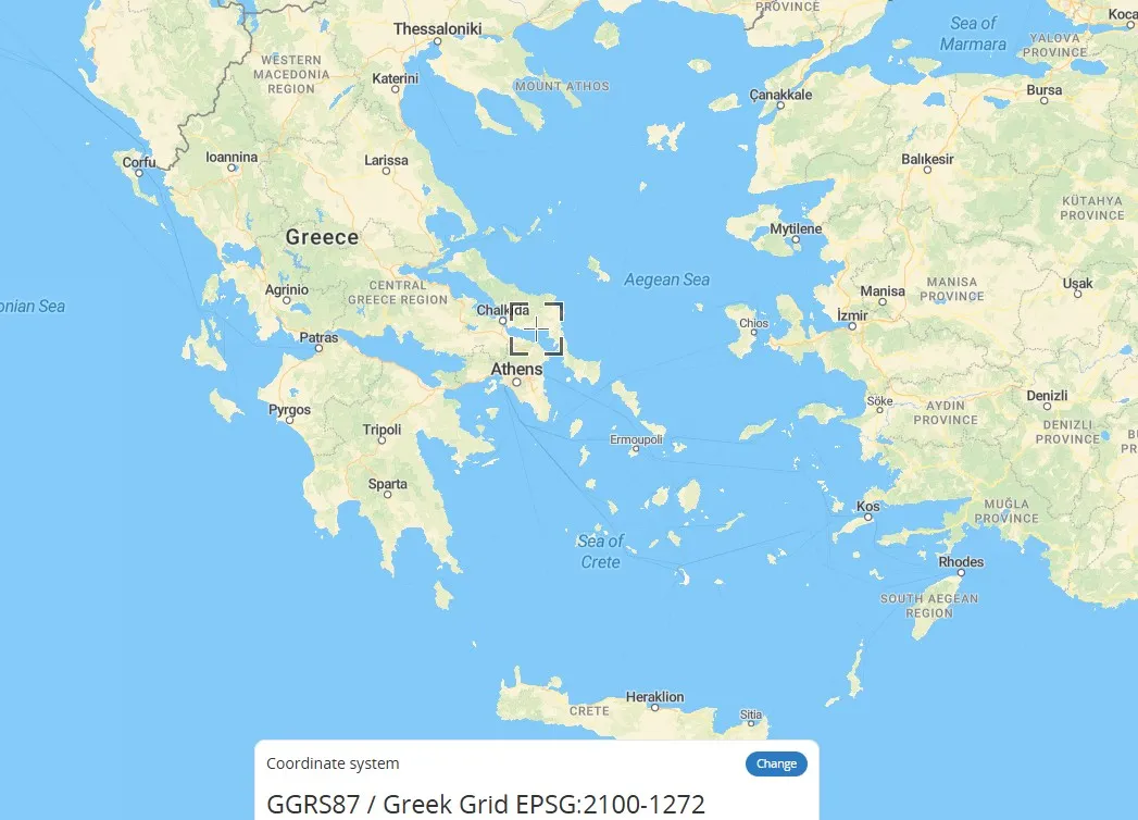
Greek Grid (Greek National Coordinate System – EPSG:2100)
Greek Grid is a plane rectangular coordinate system based on a projection specific to Greece, a type of geographic grid coordinate system (GRID). It divides the Earth's surface into virtual grid lines, projecting spatial coordinates onto a plane to form a locally applicable coordinate system. It is commonly used in mapping and engineering surveying in Greece. Unlike universal geographic coordinates (latitude and longitude), this coordinate system directly represents plane positions using x and y values, making it suitable for precise positioning in small areas.
2025-11-05 15:05:37
Lambert-93 (French Lambert 93 coordinate system - EPSG:2154)
Lambert-93 is the projection coordinate system used by the French National Geographic Information System (IGN). A variant of the Lambert Conformal Conic projection, it is based on the WGS 84 ellipsoid and is suitable for planimetric mapping of metropolitan France and surrounding areas. It features dual standard parallels (44° and 49° North) to reduce distortion. Coordinates are expressed in meters and are commonly used in topographic mapping, land management, and GIS data integration. Compared to the UTM or Gauss-Krüger projections, this coordinate system is more suitable for conformal mapping requirements in mid-latitudes.
2025-11-05 15:04:45
POSGAR 2007 (Argentine National Geodetic Datum - EPSG:5342)
POSGAR 2007 is the geodetic reference system used by Argentina. It is an ellipsoid-based geographic coordinate system used to accurately describe spatial locations within the country. Based on the GRS80 ellipsoid, this coordinate system uses specific projection parameters (such as UTM Zone 19S) to achieve regional positioning. It primarily serves the fields of land surveying and mapping, engineering construction, and natural resource management. Its core feature is that it is optimized for Argentina's geographical characteristics. Minor differences exist with the WGS84 coordinate system, requiring parameter conversion for data interoperability.
2025-11-05 15:03:01_1762326164221.png)
RSO91 (Revised Saberang Ordnance Survey 1991, EPSG:29873)
RSO91 (Revised Saberang Ordnance Survey 1991, EPSG:29873) is the geodetic datum and projected coordinate system for the Malaysian state of Sabah (northern Borneo). This coordinate system has been adapted to suit the local topography and geodetic environment, and is widely used for infrastructure development, land management, cadastral surveys, and environmental monitoring, particularly in Sabah. RSO91 is a revised and updated version of the previously used RSO (Revised Saberang Ordnance Survey) coordinate system, and is intended to provide a more accurate location reference.
2025-11-05 15:02:13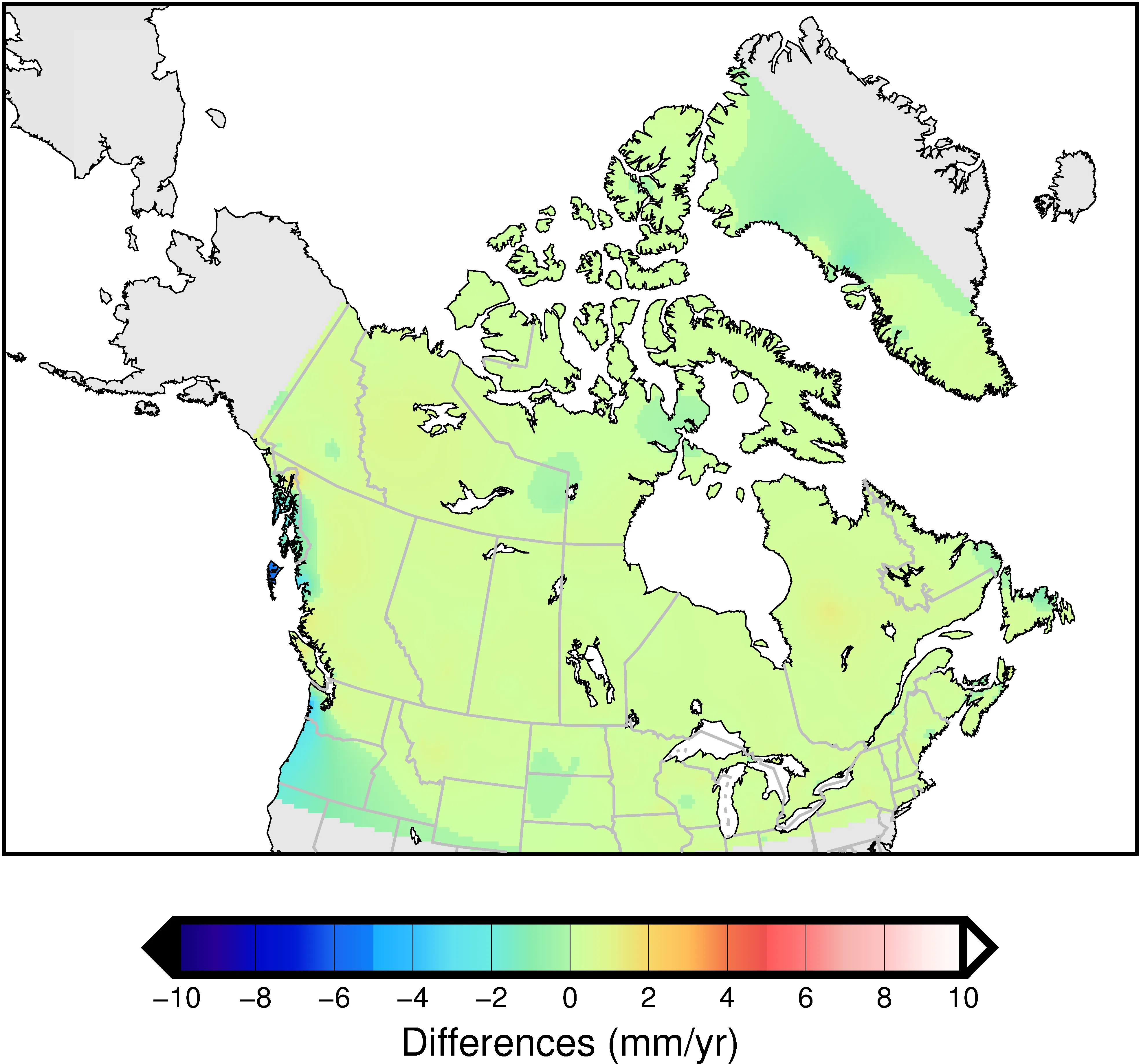
NAD83 (CSRS) (North American Datum 1983 – Canadian Spatial Reference System)
NAD83 (CSRS) (North American Datum 1983 – Canadian Spatial Reference System) is a geographic coordinate reference system for all of Canada, with EPSG code 4617. Managed and maintained by Natural Resources Canada (NRCan), it is based on the North American Datum (NAD83) and has been improved to improve the accuracy of Canada's geodetic network. The CSRS version reflects crustal movements and resurvey results of geodetic control points, improving positioning accuracy and consistency. It is widely used in surveying, geographic information systems (GIS), and global navigation satellite systems (GNSS) in Canada.
2025-11-05 15:01:08